A day out of Damascus: from Mount Qasioun to the Barada valley, on the trail of Abel
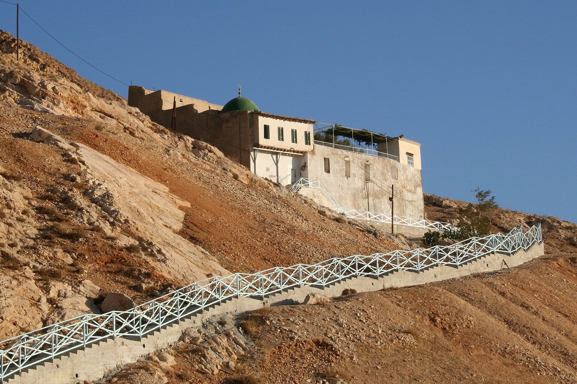
From the cave on the slope of Qasioun to the shrine in the Barada valley, two ends of one story in a single day: 105 kilometres, four stops, a car and a steep stair.
- Duration
- 9 hours
- Distance
- 105 km
- Difficulty
- Moderate
- Best season
- April–June and September–October
- stops
- 4
- City
- Damascus
The place where Cain is said to have killed Abel and the place where Abel is said to be buried sit at two ends of Damascus, and both fit into one day. The day starts at an Ayyubid mosque at the foot of Mount Qasioun and climbs the slope to the Cave of the Forty. Then it crosses by car into the Barada valley, to a shrine at 1260 metres, and ends at the spring that supplies the water Damascus drinks. It comes to 105 kilometres in all. Most of that is in the car, but the steepest part of the day is on foot.
The route
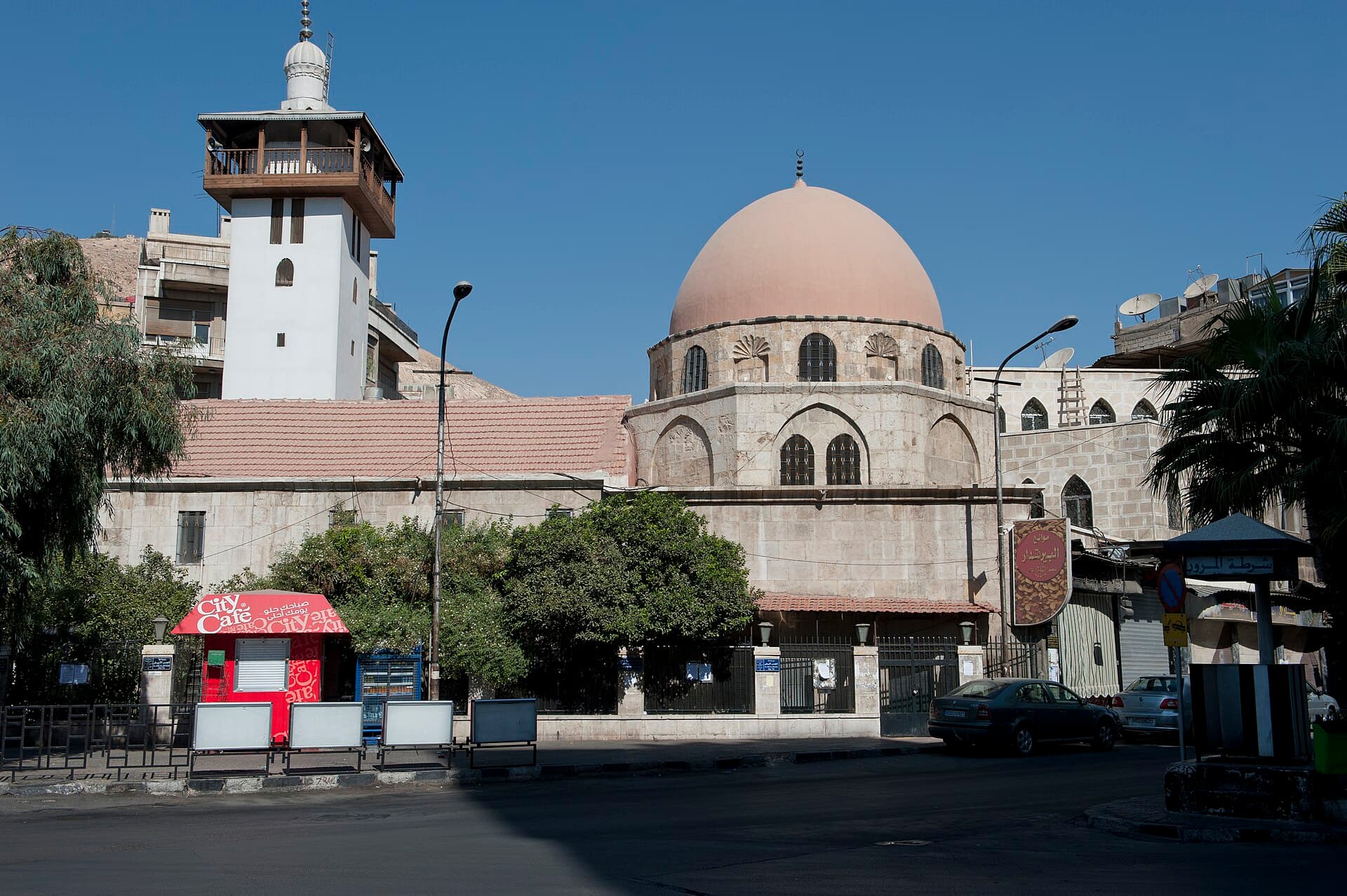
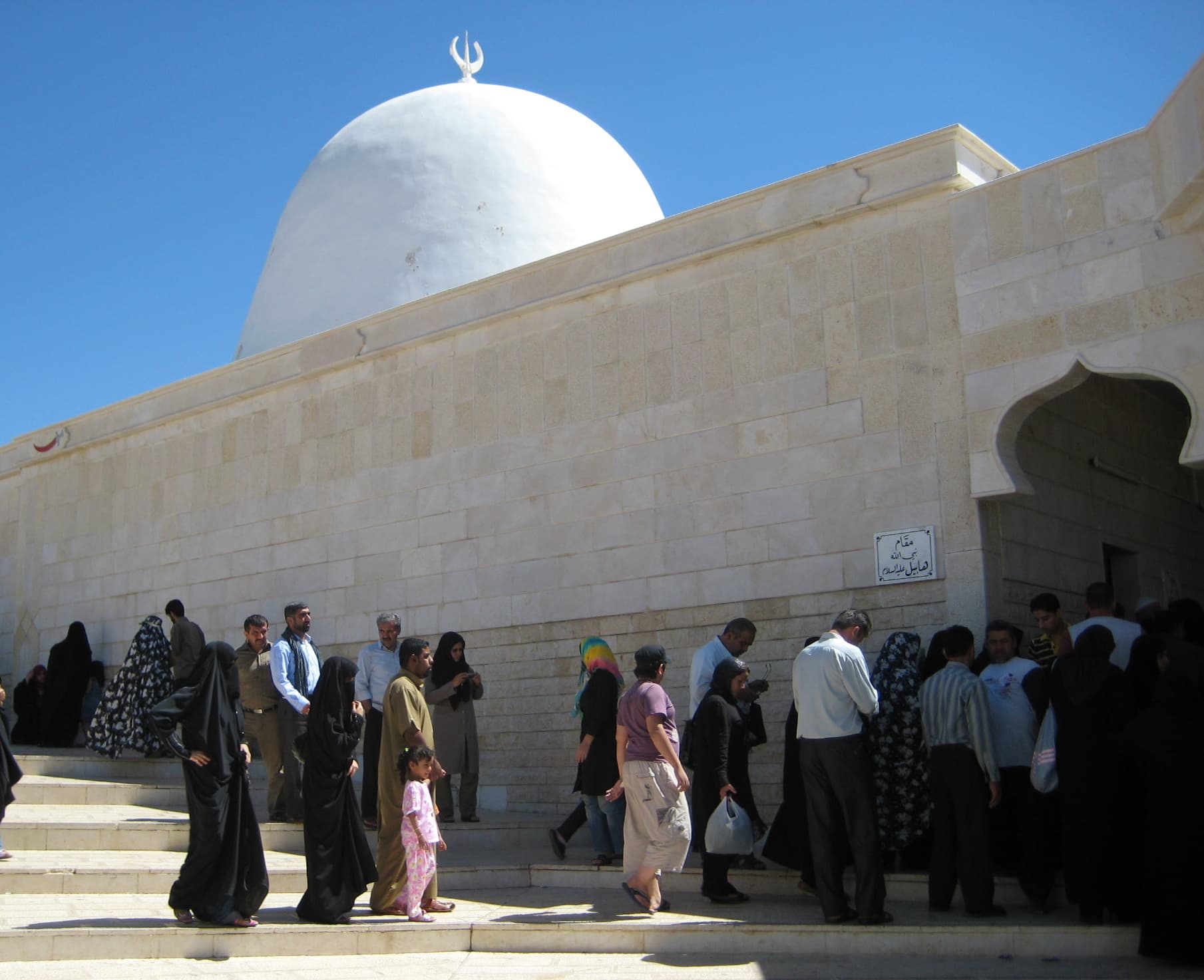
The line up to Salihiyah drops you at Jisr al-Abyad square; the mosque is on the street and its dome shows from the pavement. From here there are two ways up to the Cave of the Forty. If you walk, take the stepped path that starts in the upper lanes of Muhajirin: 2450 metres, forty-five minutes, steep and without shade. If you would rather not, a taxi runs as far as the foot of the stairway and the rest is on foot anyway. Once you are down, get into the car. The Zabadani road turns off into Wadi Barada, and it is 47 kilometres to Nabi Habeel, about an hour. The last stretch is a narrow mountain road and the shrine sits at 1260 metres. Coming back, drop down the same valley; Ain al-Fijah is 20 kilometres on, at 890 metres, and the road to Damascus passes it anyway.
Timing
Be at Jisr al-Abyad at 08:00. Climbing the stair in the morning is not optional: the path is exposed end to end and the afternoon sun hits the slope head-on. You spend an hour at the cave; the plain seen from the terrace sharpens once the morning haze lifts. Get into the car around 11:00 and you reach Nabi Habeel near midday. The view outside the shrine is better in afternoon light. Leave Ain al-Fijah until last, because the gardens around the spring cool down late in the day and the way home runs past them. Do not change the order in winter; the mountain road goes dark early.
Take care
The steps are uneven and there is no handrail along all of it; carry water and wear shoes that grip. The slope of Qasioun and Wadi Barada are militarily sensitive areas: look around before you photograph, and at checkpoints do what your driver says. Nabi Habeel and the Cave of the Forty are working places of visitation — take your shoes off, cover shoulders and knees, and women should wear a headscarf. The water plant in Wadi Barada was hit in 2016 and repairs are still under way in the area; which part of the spring you can approach changes from day to day, so ask the driver. No public transport joins these four stops, so a car with a driver is the practical answer.
The route on a map
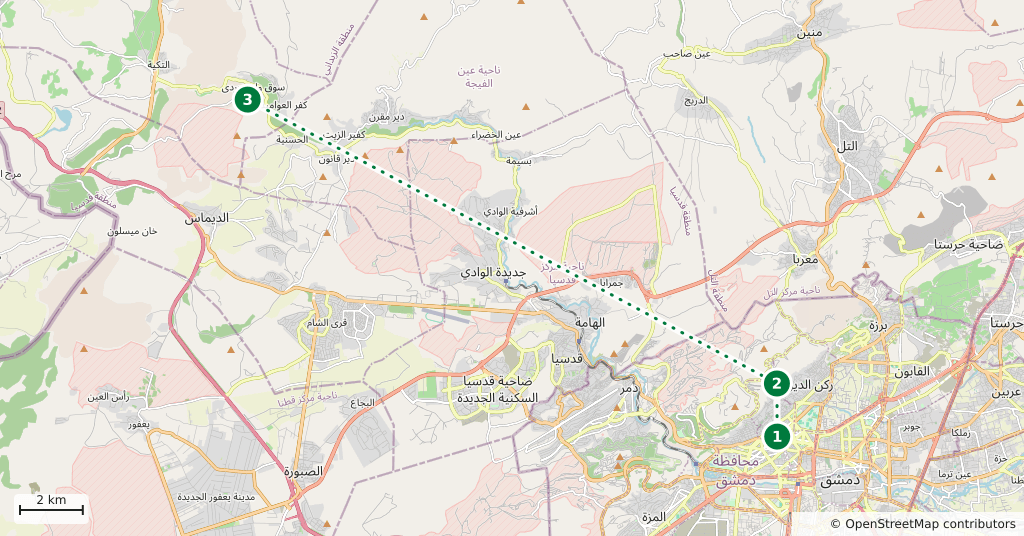
Stops along the route
- 01
- 02
- 03
- 04
Transparency
- How this was chosen
- The stops and their order were set by hand. The line on the map is real road geometry, not a straight hop between pins; distance and duration belong to that itinerary.
- Facts checked
- September 2026
- Last updated
- September 15, 2026