Half a day in Raqqa
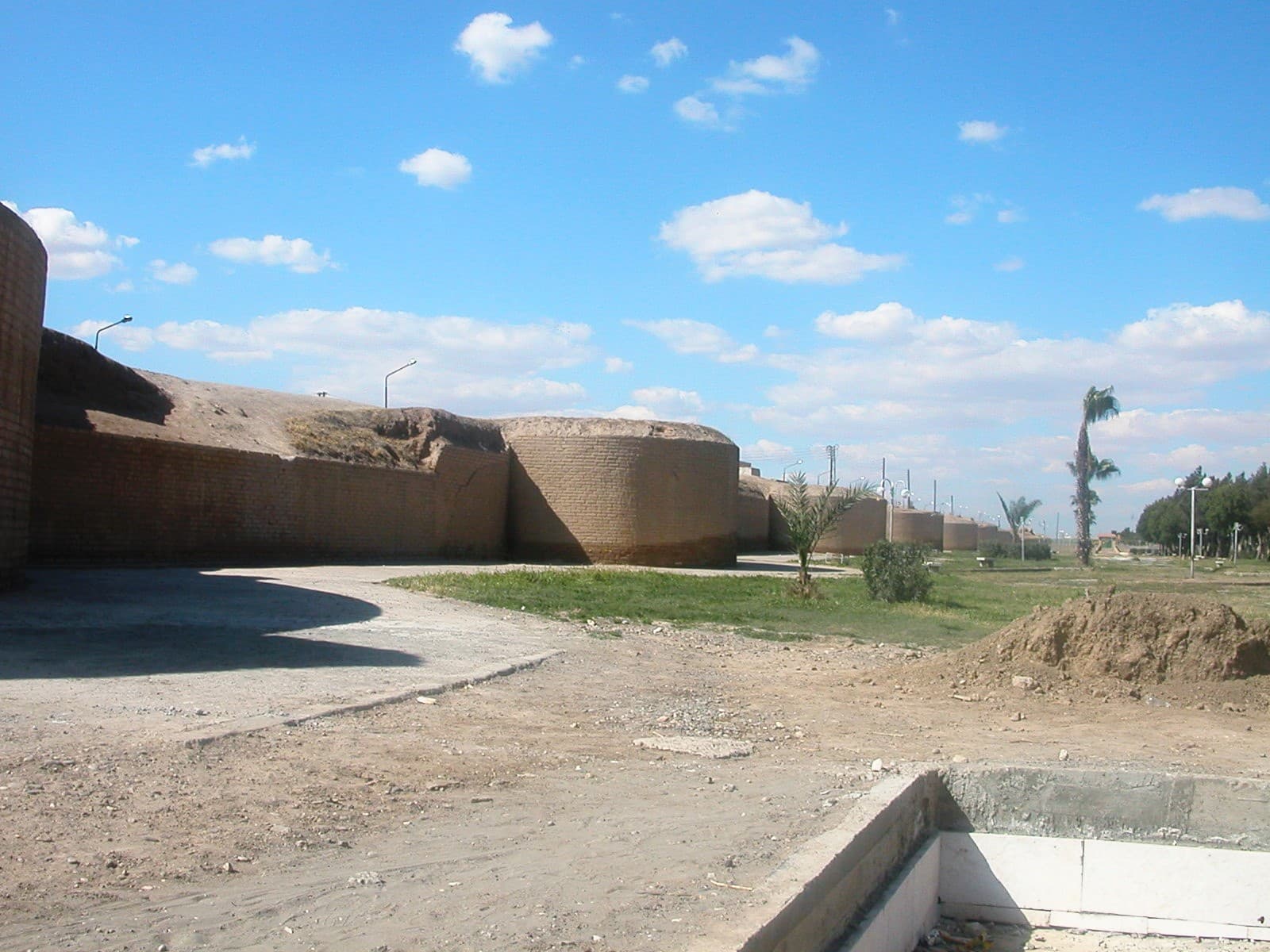
Four stops inside the Abbasid wall and 2500 metres of walking. A route that starts at the Baghdad Gate in first light and ends at the museum before noon.
- Duration
- 4 hours
- Distance
- 2.5 km
- Difficulty
- Easy
- Best season
- March–May, October–November
- stops
- 4
- City
- Raqqa
Everything still standing in Raqqa lies inside the old wall line, and all of it is within walking distance. There are 2500 metres between the four stops in total; the walking itself does not add up to an hour, and the day goes on the stops. Start in the morning: these fronts face east, and by the afternoon every one of them sits in its own shadow.
The route
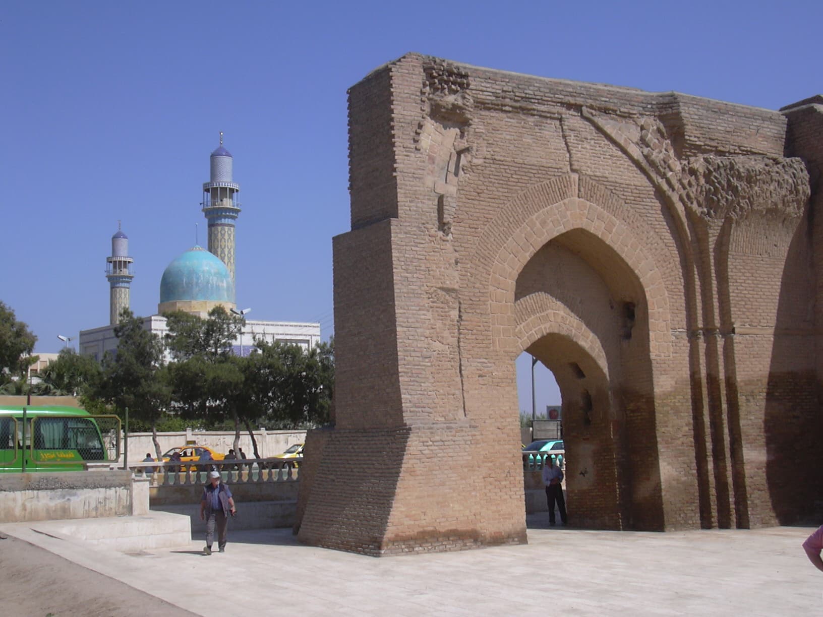
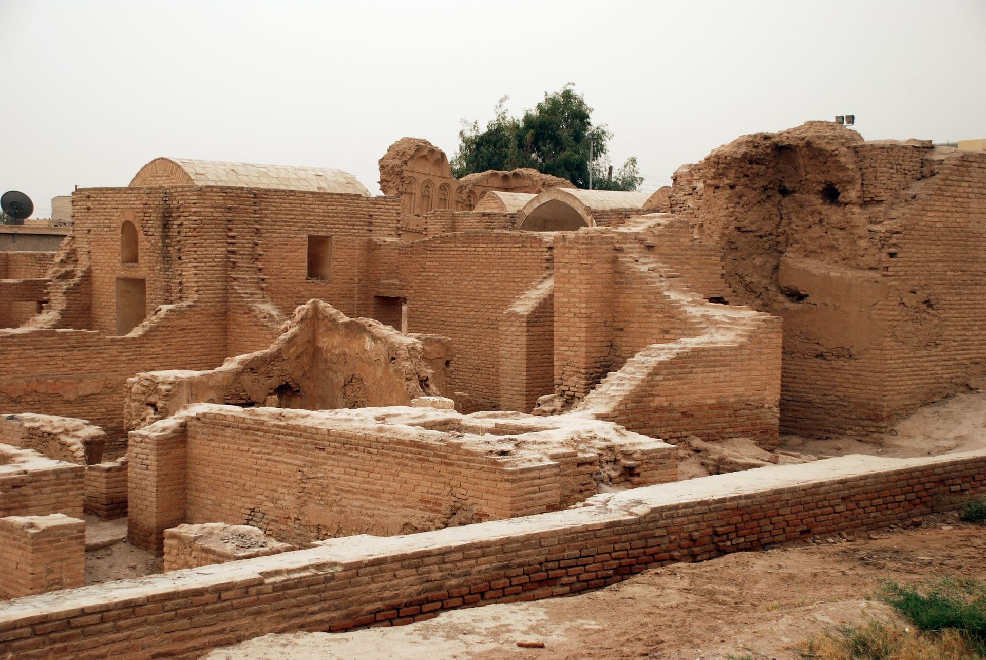
Begin at the Baghdad Gate, at the south-eastern end of the wall. Walk north along the wall line to Qasr al-Banat, four hundred metres on. From there it is a kilometre north-west to the minaret of the Great Mosque, and the sightline runs most of the way. Then drop down into the city centre and finish at the museum.
Timing
Be at the Baghdad Gate at half past seven, when the brick is still red. Qasr al-Banat at nine. The mosque site at ten. Reach the museum before noon; and if its door is shut the walk is still complete, because that last stop is not a reason to come on its own.
Take care
Rubble in Raqqa has not been cleared, and unexploded ordnance is a reported hazard. Stay on marked paths and open streets, keep out of empty buildings, and do not touch metal lying on the ground. Qasr al-Banat and the mosque site are both fenced; whether the gate is open changes from day to day, and both can be seen from outside. The only shade is at the museum, so carry water.
The route on a map
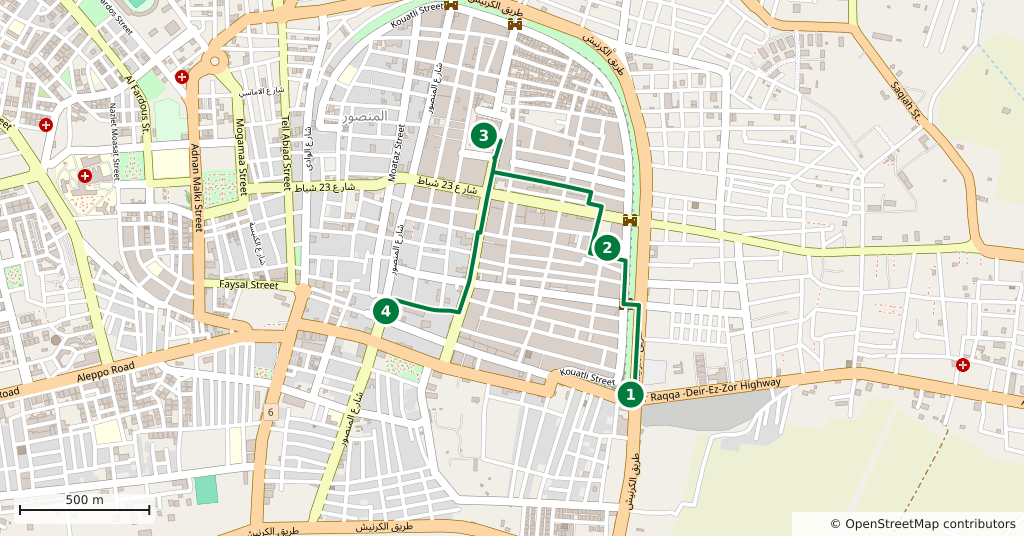
Stops along the route
- 01
- 02
- 03
- 04
Transparency
- How this was chosen
- The stops and their order were set by hand. The line on the map is real road geometry, not a straight hop between pins; distance and duration belong to that itinerary.
- Facts checked
- September 2026
- Last updated
- September 15, 2026