From Homs to Hama: a day up the Orontes valley
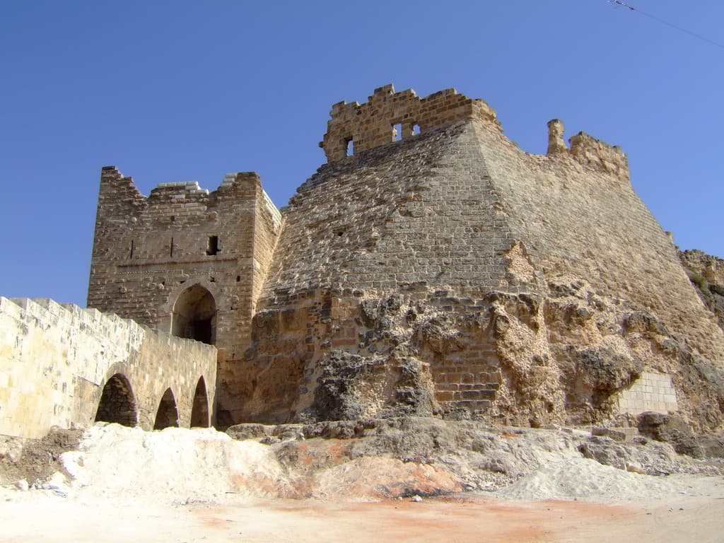
140 kilometres from Homs to Hama and four stops: a castle mound inside the city, a lake behind an ancient dam, a rock ridge over the river, and the wheels.
- Duration
- 9 hours
- Distance
- 140 km
- Difficulty
- Easy
- Best season
- March–May, September–October
- stops
- 4
- City
- Homs
This route follows the Orontes upstream: it starts in Homs, ends in Hama, and looks at what the water does in between. 140 kilometres in all, four stops. Morning on a mound inside the city, late morning at a lake held by an ancient dam, afternoon on a rock ridge above the river, early evening at the foot of the wheels. The day runs one way: you sleep in Hama.
The route
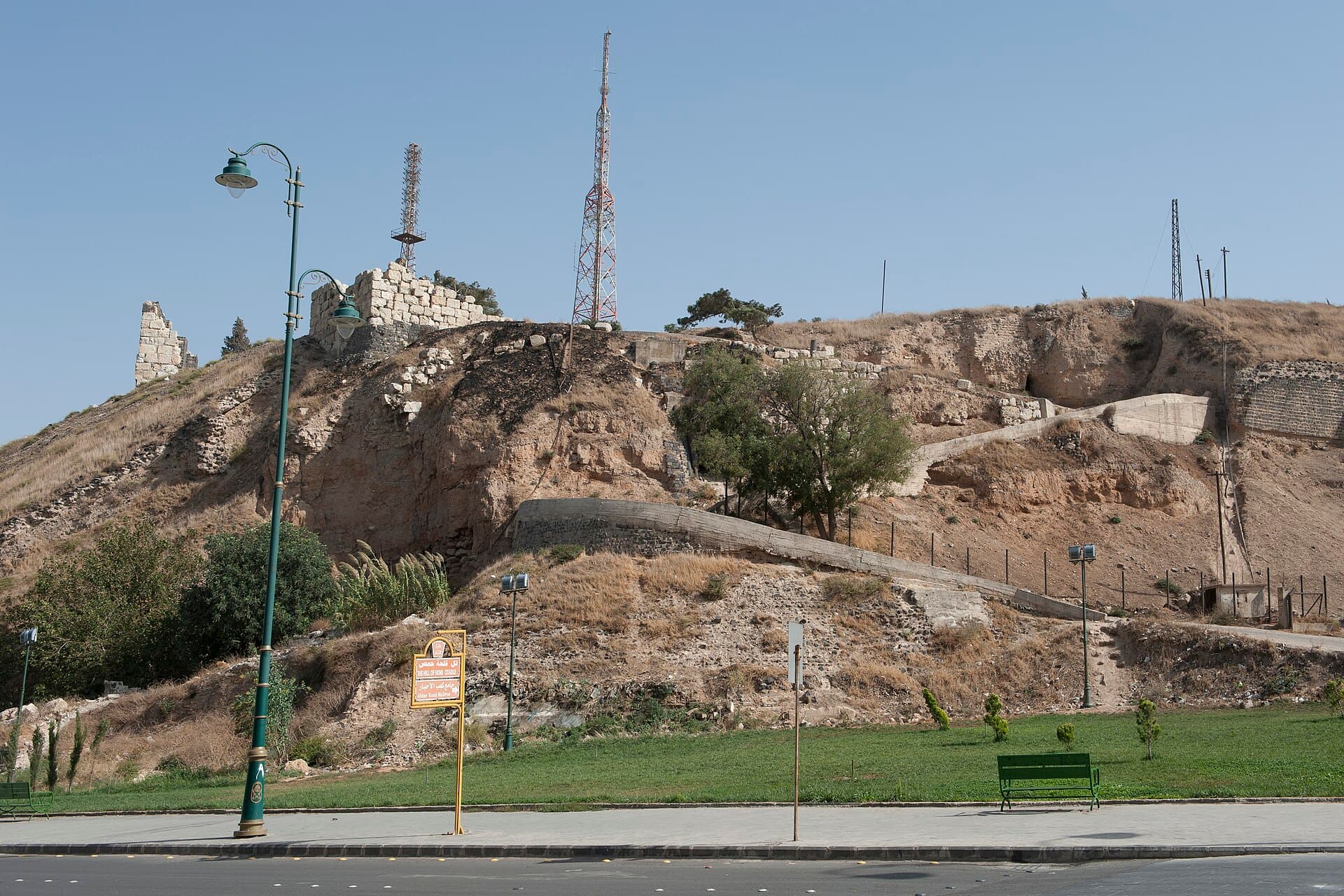
Homs Castle stands in the southwest of the city and the mound is visible from every direction; leave the car on the boulevard around it. From there head west: Lake Qattinah is 21 kilometres on, half an hour, the same road that carries you to Krak des Chevaliers. After the lake the direction turns north and the long stretch of the day begins — Shayzar is 92 kilometres, close to two hours. The road passes through Rastan and the Orontes stays on your left most of the way. At Shayzar the climb starts at the north end of the ridge; a car reaches the gate. The last leg is short: Hama is 27 kilometres, forty-five minutes, and you enter the city from the river side.
Timing
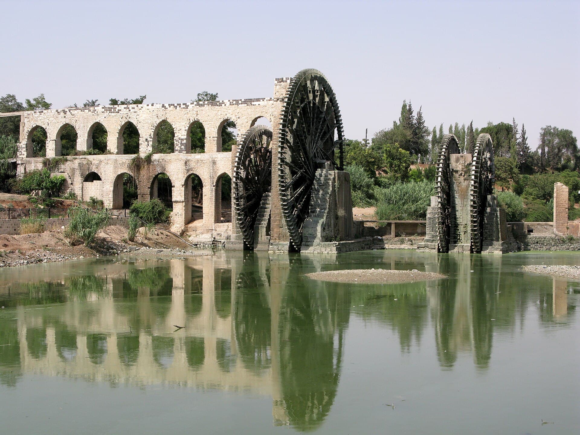
Be at the foot of the mound at 08:00. There is no shade up there and morning light rakes the stone facing from the side; forty-five minutes is enough. Set off at 09:00 and you reach the lake around 09:30 — an hour on the shore, which is when the tea houses open. Turn north at 11:00. You get to Shayzar around 13:00 and give the ridge an hour and a half: the castle is 450 metres long and it is one line out and back. By 16:00 you are in Hama. Seeing the wheels late in the afternoon is the right call, because the light comes off the river and the creak carries once the crowd thins.
Take care
Three of the four stops are open ground and none of them has shade; keep a hat and water in the car. The ridge at Shayzar is narrow and its edges are unprotected — hold a child’s hand. The Qattinah shore fills up late in the day; the morning side is quiet. The wheels depend on the flow: in summer, when the water drops, some of them stand still, and in spring they all turn. Fuel is available along the way but it thins out on the northern stretch after the lake turning, so fill the tank in Homs.
The route on a map
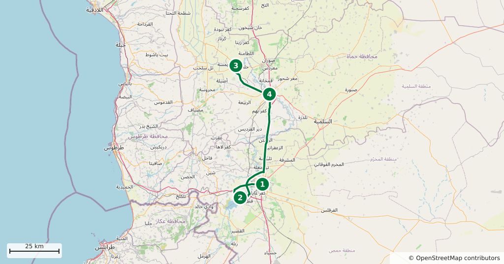
Stops along the route
- 01
- 02
- 03
- 04
Transparency
- How this was chosen
- The stops and their order were set by hand. The line on the map is real road geometry, not a straight hop between pins; distance and duration belong to that itinerary.
- Facts checked
- September 2026
- Last updated
- September 15, 2026