One day in Bosra
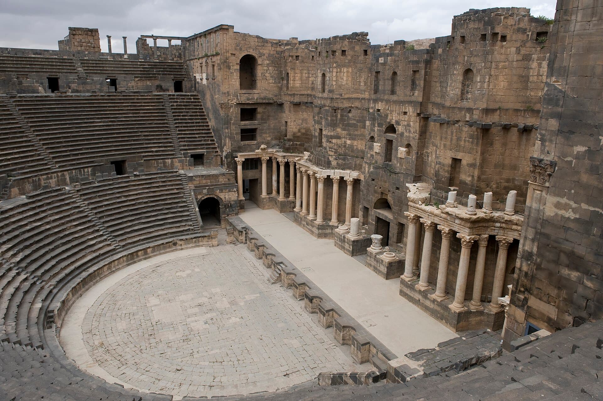
From the theatre along the colonnaded street to the mosque, then the cathedral. Three stops, four hours on foot, an easy day trip out of Damascus and back.
- Duration
- 4 hours
- Distance
- 0.9 km
- Difficulty
- Easy
- Best season
- April–May, October–November
- stops
- 3
- City
- Bosra
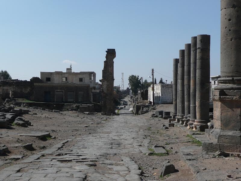
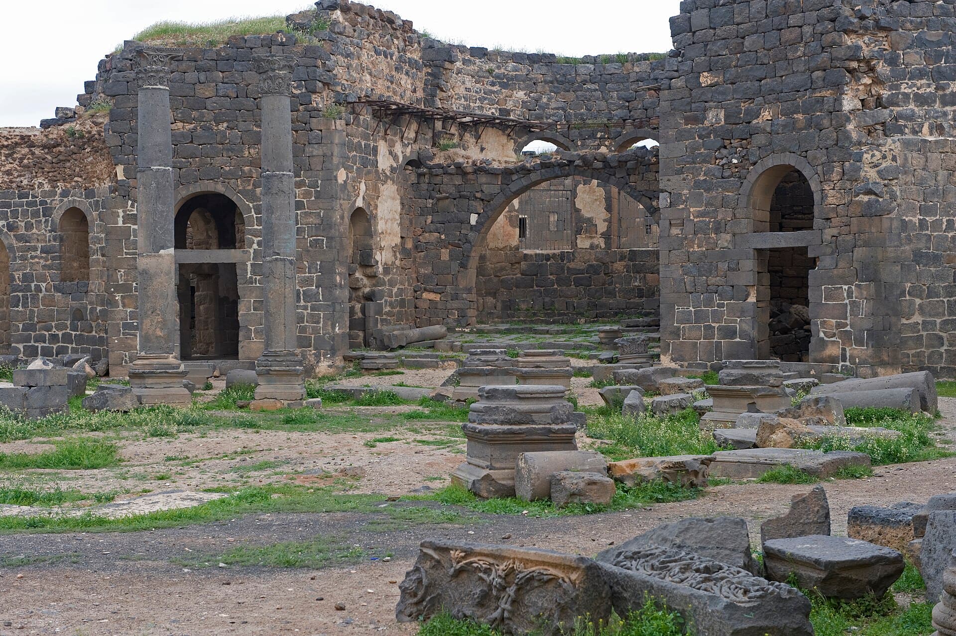
Getting to Bosra takes a day; walking Bosra takes four hours. The whole of the ancient city is within walking distance and the route runs along a single axis: from the theatre in the south-west, north along the colonnaded street, to the cathedral at the eastern end. There is not even a kilometre between the three stops, there is no climb, and the ground is basalt the whole way.
The route
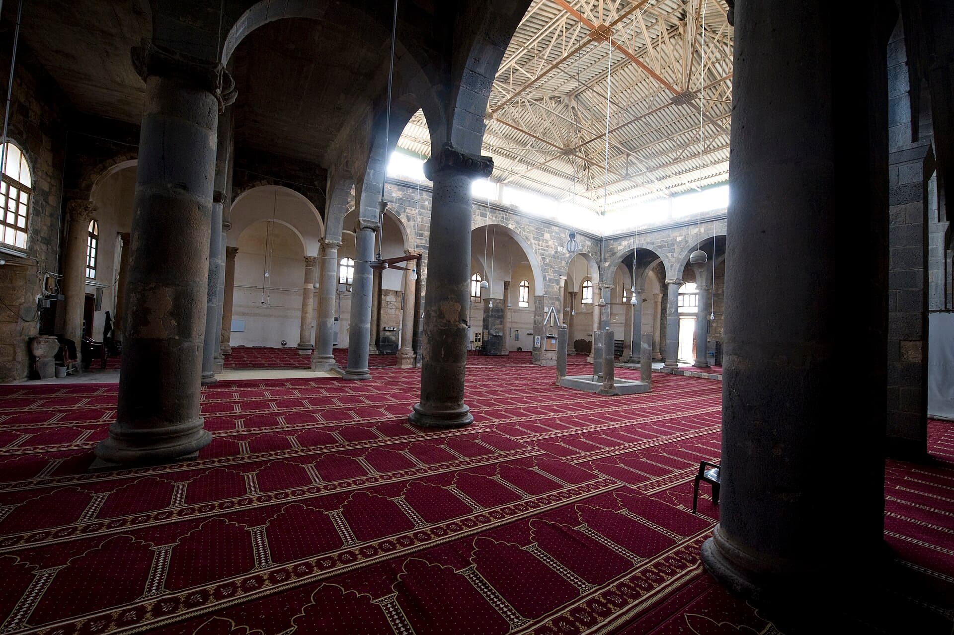
Start at the citadel gate. The theatre and the castle are one visit on one ticket. Come back out to the square and walk north. The colonnaded street takes you past the Roman market and leaves you at the courtyard of the Mosque of Omar — 600 metres. After the mosque turn south-east: the cathedral is 350 metres further, in among the houses, and it has no gate of its own. You come back along the same axis.
Timing
Coming from Damascus, leave at 07:00 and you will be in Bosra around 10:00. Give the theatre the first hour and a half; the seating is still in shade then and the town is quiet. Walk north at 11:30 and see the mosque before midday prayers. Take your break on the town square. Drop down to the cathedral at 14:00 and start back at 15:00 — reaching Damascus by evening means an early start at both ends.
Take care
There is almost no shade on this route; bring a hat and water, and in summer do not walk it in the middle of the day. The ground is basalt and broken in places, so smooth soles will fight you. The ruins sit inside the street fabric of the town: you are walking past people’s front doors, so ask before photographing anyone. Conditions in southern Syria change month to month — check the route locally before you set out.
The route on a map
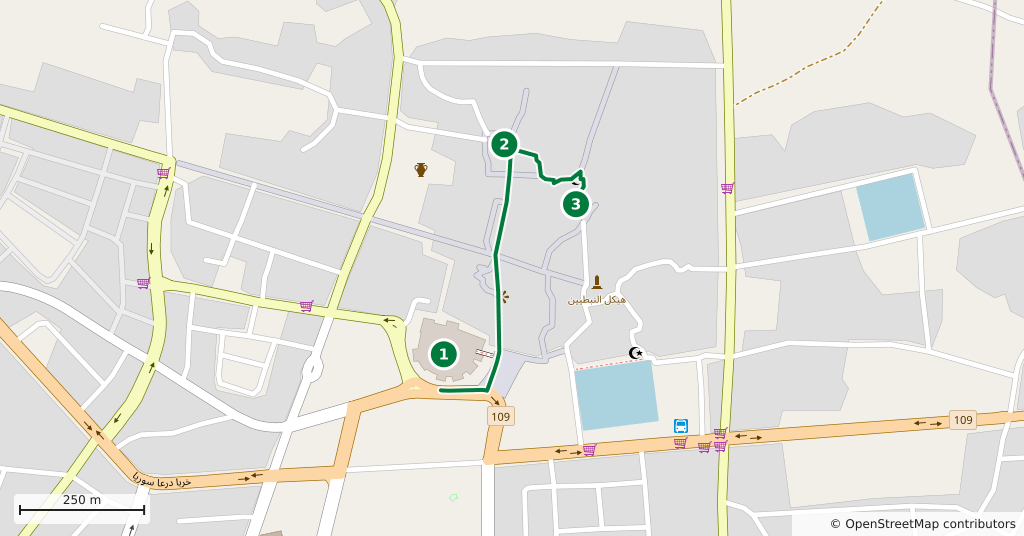
Stops along the route
- 01
- 02
- 03
Transparency
- How this was chosen
- The stops and their order were set by hand. The line on the map is real road geometry, not a straight hop between pins; distance and duration belong to that itinerary.
- Facts checked
- August 2026
- Last updated
- September 15, 2026