Duraykish
A hill town in the mountains east of Tartus. Its name comes from Latin and means “three caves”; what it is known for is the mineral springs to the south.
- Opening hours
- A town, always open; the market by day
- Entry
- Free
- Duration
- 180 minutes
- Best time
- May to October; in summer it runs about ten degrees cooler than the coast
- Period
- Ottoman — present
- Address
- Duraykish, 32 km east of Tartus; western slope of the coastal range
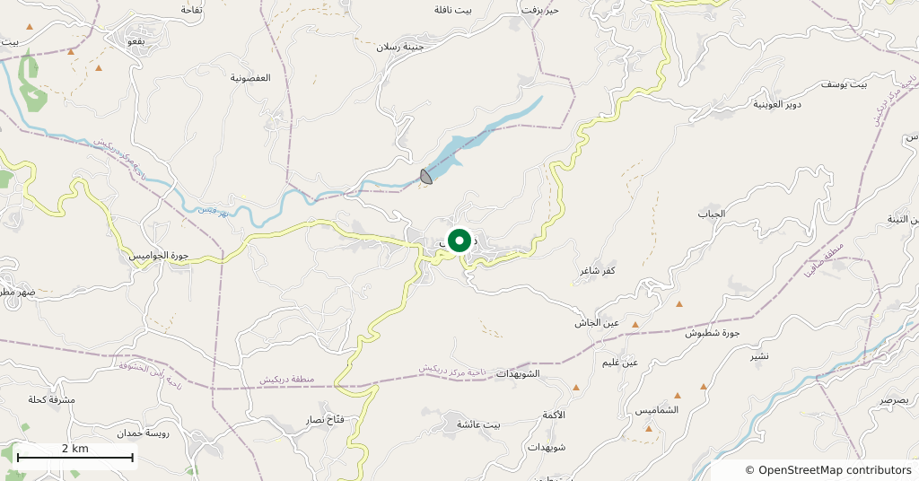
Duraykish sits on the western slope of the coastal range, at the mouth of two valleys. It is 32 kilometres east of Tartus and between 340 and 480 metres above the sea: the point where you leave the humid heat of the coast and come into cool air. The name derives from Latin and means “three caves”. What the town is known for across Syria, though, is its water — the mineral springs south of the town are bottled and sold under its name.
Getting there
Three quarters of an hour east from Tartus. The road up from the coast to Safita and the road down to Tartus meet in al-Maqla’a, the lower quarter of the town, and shared taxis run from both directions. The old town is above that, about a hundred metres higher, and the road between them is steep.
How long it takes
Half a day. The town itself is small; the time goes on the market street, the springs and a walk on the slope.
What to see
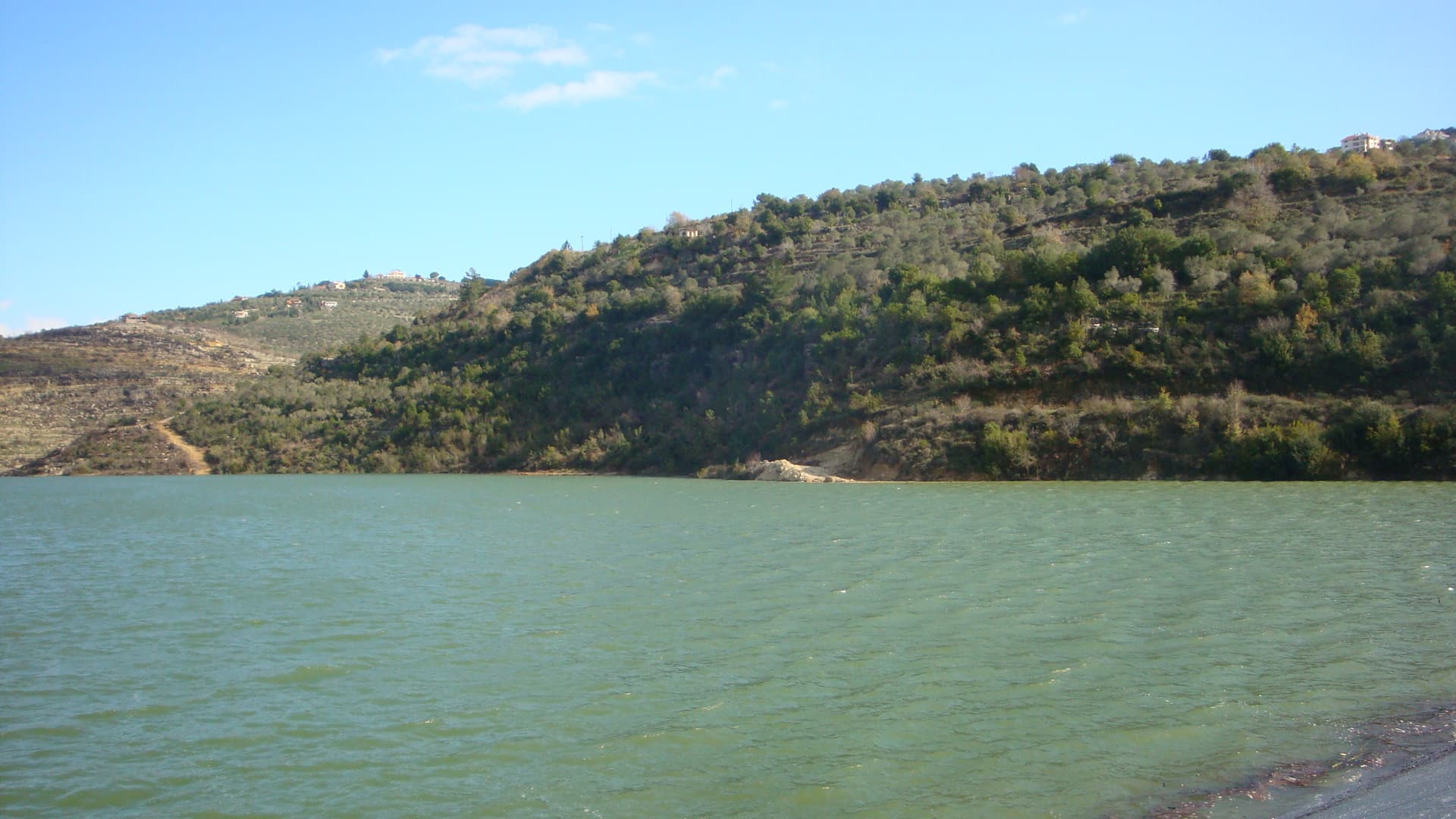
Old Duraykish is split in two: a ridge of about a hundred metres runs between the two quarters, and the commercial centre is on the eastern side. The streets are narrow and steep, and the houses step down the hillside. To the south is the valley where the springs rise; people still come here for the taste of the water. Near the town there is a dam and reservoir on the Qais stream; the slopes above the water are olive grove and scrub, and that is what really gives the place its view.
What not to miss
Walk down to the springs and drink the water at the source rather than out of a bottle. Duraykish water is known across the country because of the bottling plant built in the mid-1970s, but the springs were here long before the plant, and they are the reason the town exists at all. A second detail: a silk spinning mill was built in the same years — one of the last links in the coastal range’s long history of silk.
What remains
From the middle of the 19th century until the 1960s Duraykish was the largest town in the coastal mountains. Under the Ottomans, Isma’il Bey, appointed to govern the district of Safita, made his seat here, and the town became a regional centre in that period. It was granted city status in 1970. After the 1980s, hill tourism shifted to Mashta al-Helu and Wadi al-Uyun; the large state hotel in the town closed in 1987 and never reopened. Visitors today mostly come for the day. If you want to stay the night, ask ahead — the options are limited.
Tips
- Go down to the springs and drink there; they are the reason the town exists
- The climb between the lower quarter and the old town is steep — easier by car
- Accommodation is limited; arrange it in advance if you intend to stay
- It fits comfortably into the same day as Safita, half an hour away
Transparency
- How this was chosen
- Written by hand; opening hours, entry fee and coordinates are kept as data. A field that is not known for certain is marked as variable rather than guessed.
- Facts checked
- September 2026
- Last updated
- September 15, 2026