Safita to Jabal al-Nabi Matta: a hill town, the Dreikish reservoir and a planted chestnut forest
A day trip by car from Tartus: Safita’s houses built from castle stone, the springs of Duraykish, a lake behind a 41-metre dam and a chestnut forest at 1100 metres.
- Duration
- 8 hours
- Distance
- 36.9 km
- Difficulty
- Moderate
- Best season
- April–June, September–October
- stops
- 4
- City
- Tartus
This is a day in the hills behind Tartus built around water and trees rather than castles. In the morning you walk among houses in Safita made from stones pulled out of its castle. Towards midday you go down to the springs at Duraykish, then look over the reservoir just north of the town. The day ends at 1100 metres, in the forest of Jabal al-Nabi Matta, planted by hand since 1976. There are four stops. Out from Tartus and back, the road covers about 130 kilometres: a full day by car.
The route
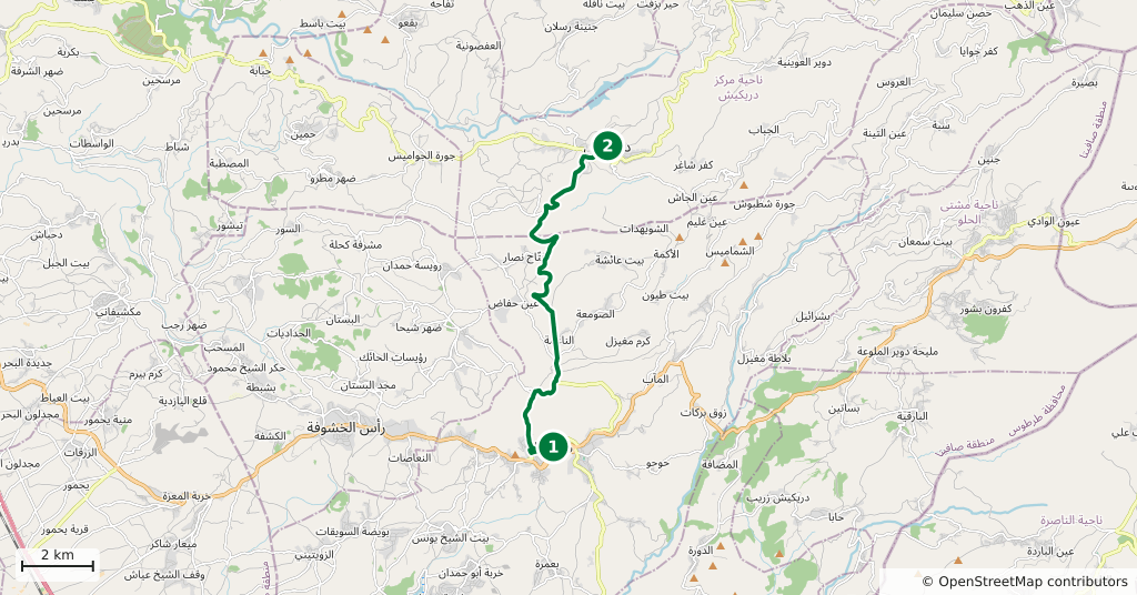
From Tartus the road climbs into the hills and reaches Safita after 33 kilometres, about forty-five minutes. The town spreads over three hills and the valleys between them, 380 metres above the sea. The lanes of the old quarter are steep and narrow, so leave the car lower down. From Safita the road north to Duraykish is 14 kilometres and half an hour. It counts as the one north–south link in the coastal mountains with regular public transport. The road enters Duraykish through the lower quarter of Maqla. The Dreikish Dam lake lies just north of the town, near the village of Al-Dalbeh. Village roads lead down to the shore, about 5 kilometres by road from town. From the lake to Jabal al-Nabi Matta is 17 kilometres; the road climbs and takes forty-five minutes. A narrow paved lane runs through the forest, and there is a separate pedestrian entrance. The drive back to Tartus via Duraykish is 62 kilometres. These distances are by road; on a map, straight lines look much shorter.
Timing
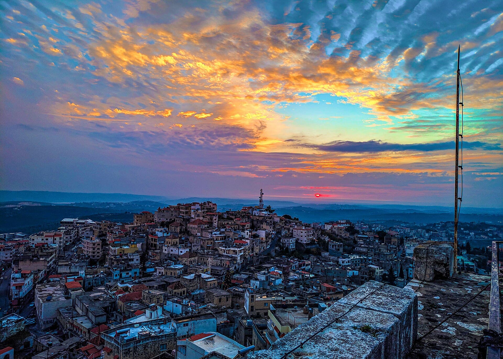
Leave Tartus at 08:00. At 08:45 you are in Safita. Climb the tower first and see from above how the town spreads across the hills; ask about the tower fee at the entrance. Then walk down into the Castle Quarter beside the tower. The castle stood largely intact until the end of the 19th century. After that, people took stones from its walls to build houses, and some homes were set directly against the wall. Look for large dressed blocks in the lower courses. The outer wall ran for 1 kilometre. A description from 1943 shows a town of houses in alternating rows of black and white stone. In the 16th and 17th centuries Safita was the seat of a district that ran some fifty villages, and the Sayfa family held the town until 1640. Allow two hours for the tower and the quarter.
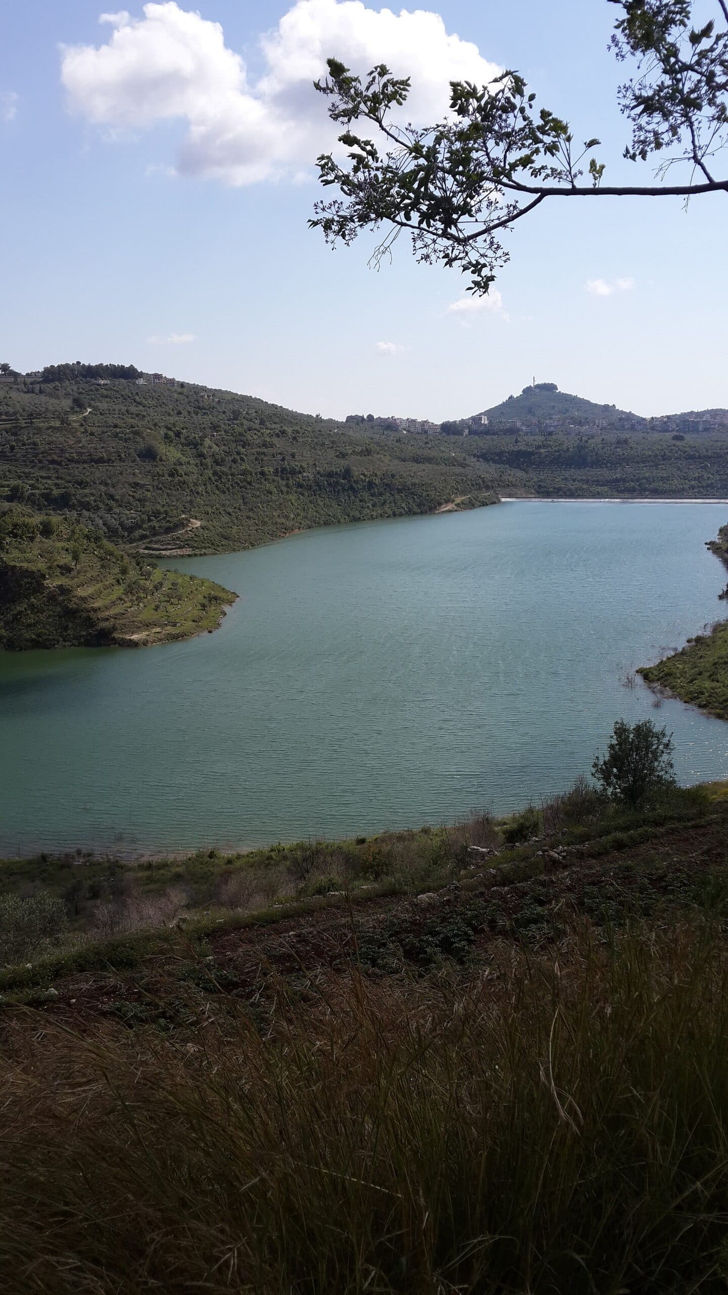
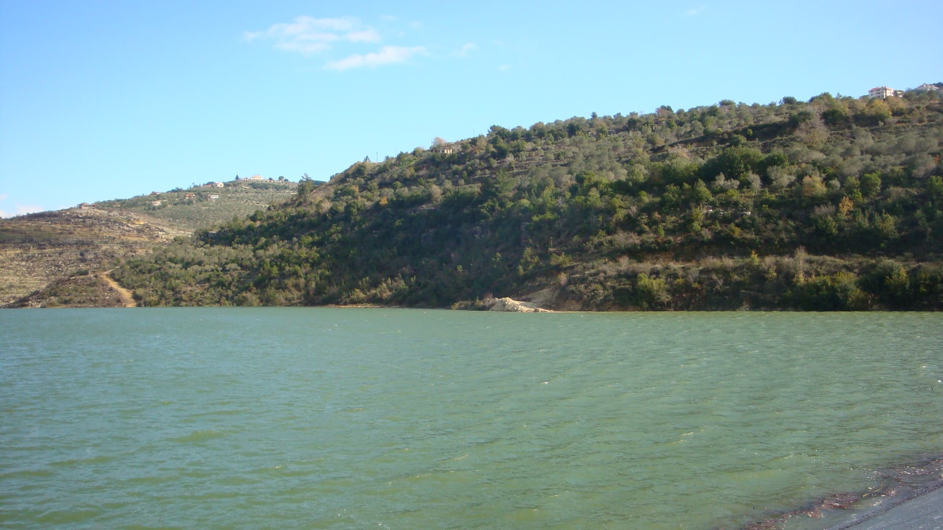
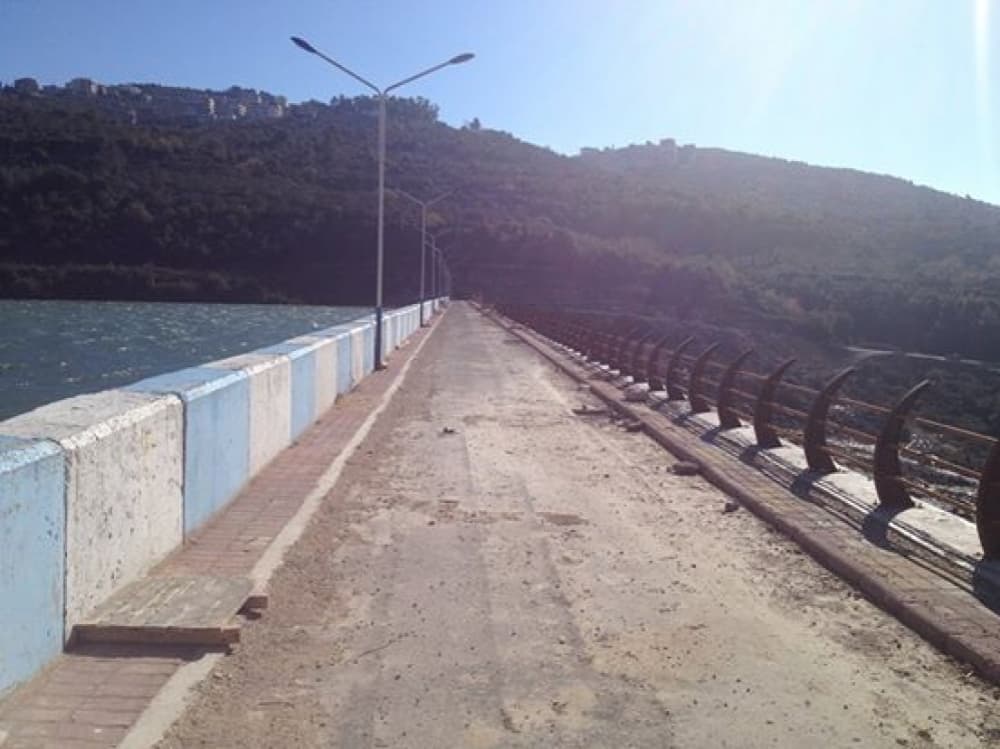
At 11:15 you are in Duraykish. The town sits where two valleys open out, 340 to 480 metres above the sea. Walk down to the springs on the south side and drink from the source; the bottled water that made the town known across Syria comes from here. The springs and the market take an hour. At 12:30 you reach the lakeshore. The dam is a rockfill wall on the Qais river: 276 metres long at the crest and 41 metres high. Work began on 26 June 1999 and the asphalt facing was finished in 2015. The lake was made for drinking water, not irrigation. Visible storage is 6 million cubic metres. The bigger contribution is underground: the dam recharges groundwater springs with 23 million cubic metres a year. The lake is 1 kilometre long, 350 metres wide on average, and ends at the Al-Dalbeh spring. If walking on the crest is allowed, stop in the middle. On one side is the lake, on the other the valley 41 metres below. An hour is enough.
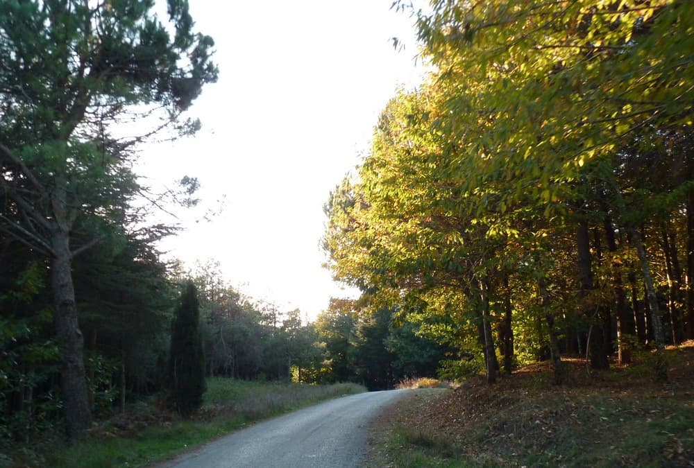
At 14:15 you are at Jabal al-Nabi Matta. The reserve covers 650 hectares and was protected by decision no. 211 of 29 September 2009. Of the forest, 450 hectares were planted by hand, 200 of them chestnut. The soil comes from basalt and carries no lime, which is why chestnut takes here. Annual rainfall is around 1800 millimetres. A small shrine on the summit still draws people from the villages around. Inside is a grave 6 metres long, and no record says whose it is. Walking in the forest and climbing to the top takes two hours. Start back at 16:15 and you reach Tartus before dark.
Take care
We found no recent source showing that the dam crest or the forest lane at Jabal al-Nabi Matta is open today. Ask about both in Duraykish. The lake is a drinking-water source, so check the rules on swimming and going near the water on site. Entry conditions at the reserve vary; confirm at the gate. Nothing is sold in the forest, so bring water and food. The shrine on the summit is a living place of visitation; follow local visitors in how you dress. Winter is wet, and at this height the road deteriorates quickly. Chestnut leaves turn yellow in October. The temple of Hosn Suleiman stands on the same massif, and you can extend the day there if you like.
In March 2025 armed violence hit the coastal countryside, and the road between Safita and Tartus lay in the affected area. In summer 2026 the tourist season opened in Tartus, and a heritage event was held in Safita’s Castle Quarter on 1–5 August 2026. Even so, ask about the roads that week before you set out. Dated details are on the safety and access in the Syrian coast countryside page.
The route on a map
Stops along the route
- 01
- 02
- 03
- 04
Transparency
- How this was chosen
- The stops and their order were set by hand. The line on the map is real road geometry, not a straight hop between pins; distance and duration belong to that itinerary.
- Facts checked
- September 2026
- Last updated
- September 15, 2026