Safita, the Hill Town Around the White Tower
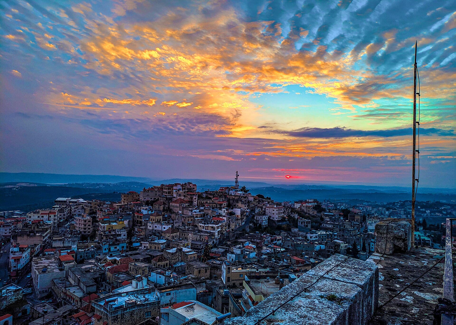
Spread over three hills south-east of Tartus, Safita grew out of the stones of a Crusader castle: the line of its outer wall, the Castle Quarter, an Ottoman past.
- Opening hours
- Town, always open
- Entry
- The town is free; confirm the tower fee on site
- Duration
- 180 minutes
- Best time
- Spring and autumn; the area gets about 1200 mm of rain a year and winters are wet
- Period
- Phoenician — Crusader — Ottoman — present
- Address
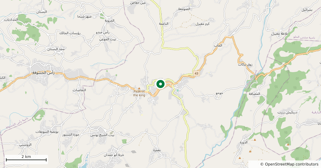
- Safita, south-east of Tartus, on the Tartus–Homs road
Safita is a town in the Syrian Coastal Mountains south-east of Tartus, spread over the tops of three hills and the valleys between them, 380 metres above sea level. At the top stands the white tower the Crusaders called Chastel Blanc. This page, though, is about the town around it: the houses built from the castle’s stones, the trace of its outer wall, and the past of a district centre that once governed some fifty villages.
Getting there
Safita sits where the east–west road between Tartus and Homs crosses the north–south road from Safita to Dreikish. From Tartus the road climbs into the hills. The Safita–Dreikish road is counted as the only north–south link in the coastal mountains with regular public transport, so the two towns fit into the same day. Inside the town the old quarters are uphill and the streets are steep.
How the town grew out of the castle
The castle of the Knights Templar had a clear view from here. It looked out to Arwad and Tartus on the coast, to Chastel Rouge (Yahmur) in the south-west and to Krak des Chevaliers in the south-east. Baybars, the Mamluk sultan who ruled Egypt and Syria, took it in 1271. According to Arabic Wikipedia, the castle’s inner wall enclosed the tower, while the outer wall ran for 1 km.
The town’s own story starts later. The castle stood largely intact until the end of the 19th century. From then on people took stones from its walls to build houses, and some homes were built directly against the wall itself. Old Safita grew out of those houses. In 1943 its houses were described as well built, of alternating black and white stone, and clustered around the fortress.
An Ottoman centre of fifty villages
In the 16th and 17th centuries Safita was the centre of the main nahiya, or subdistrict, of the southern coastal mountains. It took in about fifty villages, and at times the subdistricts of Mi’ar, Qulay’a and Tartus were attached to it as well. The Sayfa dynasty, based in the hinterland of Tripoli, held the town until 1640. In 1621 the governor of Tripoli, Yusuf Sayfa, sent a force to Safita against his nephew Sulayman Sayfa, who had not forwarded the subdistrict’s taxes.
Tripoli court records from 1667–1668 show that the tax farm of the subdistrict was sold to the brothers Muhammad and Zaydan ibn Shamsin. The list of taxes to collect sums up the mountain economy in one line: fruit trees, falcons, bees, silk and mills. Safita lost weight under the French Mandate, when Tartus became the capital of a sanjak and administrative influence shifted to the coast.
The Castle Quarter today
The Castle Quarter (Hay al-Qalaa), next to the tower, has been brought back from ruin and turned into a cultural centre. From 1–5 August 2026 it hosted a heritage event called ‘My Grandfather’s House Quarter’. Group walks among the villages and hills around the town are held every Thursday, as a report from May 2026 describes.
How long it takes
Half a day including the tower. After the tower, walking the lanes of the Castle Quarter, looking for the outer wall’s stones in house walls and going down to the town centre takes three hours.
What most people miss
The lower courses of the houses right at the foot of the tower. Some of these homes were built with stone from the castle wall, or against the wall itself; look for large dressed blocks in the bottom rows. Near the tower, walls of a 13th-century building are also still standing.
Tips
- Climb the tower first to see how the town spreads over the hills, then walk down into the quarter
- The lanes of the old quarter are steep and narrow; explore on foot, not by car
- Dreikish fits into the same day, with regular public transport between the two towns
- Check local news for this year's dates of the early-August heritage event before you go
Transparency
- How this was chosen
- Written by hand; opening hours, entry fee and coordinates are kept as data. A field that is not known for certain is marked as variable rather than guessed.
- Facts checked
- September 2026
- Last updated
- September 15, 2026