Mount Abdulaziz
The only high ground in north-east Syria: a ridge 85 kilometres long, topping out at 932 metres, with a nature reserve and twenty villages at its foot.
- Opening hours
- Open country; no timetable for the reserve could be confirmed
- Entry
- Appears to be free — confirm on the spot
- Duration
- 180 minutes
- Best time
- March and April; the ridge greens up in the short rains and is scorched by summer
- Period
- —
- Address
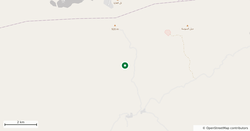
- 35 kilometres west-south-west of Al-Hasakah
The Jazira plain is flat from the Euphrates to the Iraqi border, and this ridge is the one thing that breaks it. It runs east to west, 85 kilometres long and 15 wide, a chain of hills and valleys rising from 300 metres to 932. There is no other elevation in north-east Syria; the nearest are the Bishri hills to the south-west and the Sinjar range that begins to the east, in Iraq.
Getting there
Some 35 kilometres west-south-west of Al-Hasakah. The road out of the city follows the northern foot of the ridge; the side tracks to the villages are unsurfaced and become impassable after rain.
How long it takes
Half a day. By car to the foot, then on foot. The whole ridge cannot be seen in one day.
Where the name comes from
The ridge was formerly called Al-Hiyal. Its present name comes from Abdul Aziz, a Kurdish commander in Saladin’s army who fortified it and used it as a stronghold.
What to see
The view and the scale. From the plain the ridge looks low; from on top it opens the whole flat of the Jazira. A nature reserve has been declared along it, and around its foot lie some twenty villages and thirty smaller farming settlements. Almost everyone here is Arab, of the Baqqarat al-Jabal tribe; one village belongs to the Sayyad.
What not to miss
The reason the district is poor. In Ottoman times this was ground that nomadic Arab herders crossed. Once borders were drawn and the French Mandate pressed settled farming on the tribes, they had to stay put, and the first permanent village was founded only in the 1950s. The land is arid and the reserve restricts what can be done with it; a count in 2007 put the total population around the foot at under fifteen thousand, with many families already gone to Al-Hasakah and Tall Tamer.
Where it stands now
The ridge changed hands several times during the war and has been under Kurdish control since 2015. There are checkpoints on the roads, and the present state of the reserve, and whether it can be visited, cannot be confirmed from independent sources. This page tells you what the ridge is; it does not tell you that you can go there today.
Tips
- Take a high-clearance vehicle; the tracks up to the foot are dirt
- There is no shade and no water — bring both
- Expect a checkpoint on the way; carry identification
- There is no single route to the crest; you will need to ask directions in a village
Transparency
- How this was chosen
- Written by hand; opening hours, entry fee and coordinates are kept as data. A field that is not known for certain is marked as variable rather than guessed.
- Facts checked
- September 2026
- Last updated
- September 15, 2026