Two days across the Jazira: from Hasakah to Qamishli and the Tigris plain
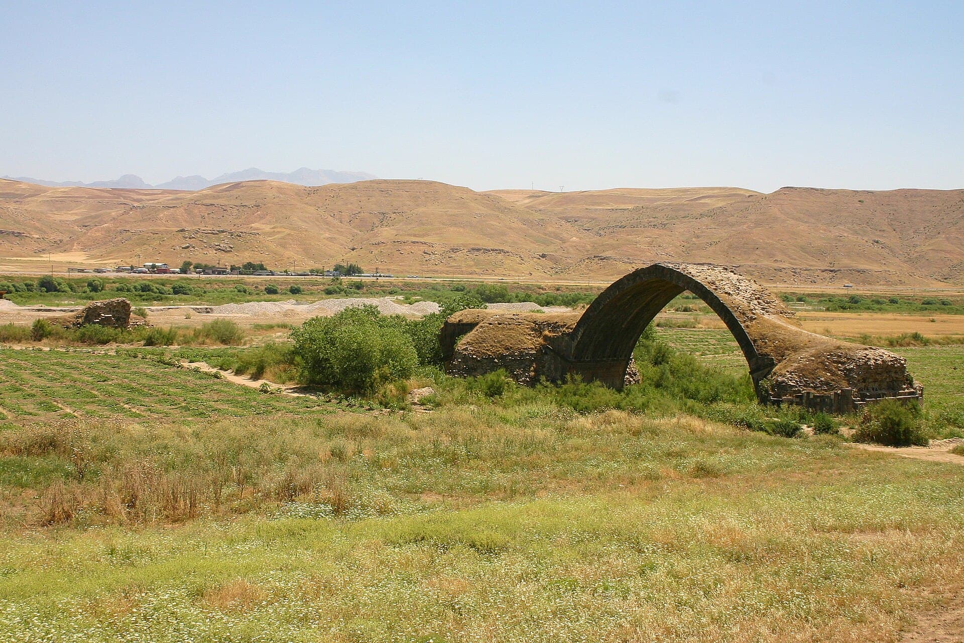
480 kilometres in north-east Syria over two days: two mounds at the sources of the Khabur, a third in the Khabur triangle, and a lone arch on the Tigris plain.
- Duration
- 16 hours
- Distance
- 480 km
- Difficulty
- Moderate
- Best season
- March–May, October–November
- stops
- 4
- City
- Hasakah
Distances in the Jazira work on another scale: a hundred kilometres can separate two stops, and the driving alone eats half the day. That is why this line splits into two. The first day runs north-west from Hasakah to the sources of the Khabur; the second runs east from Qamishli into the Tigris plain. 480 kilometres in all.
The route
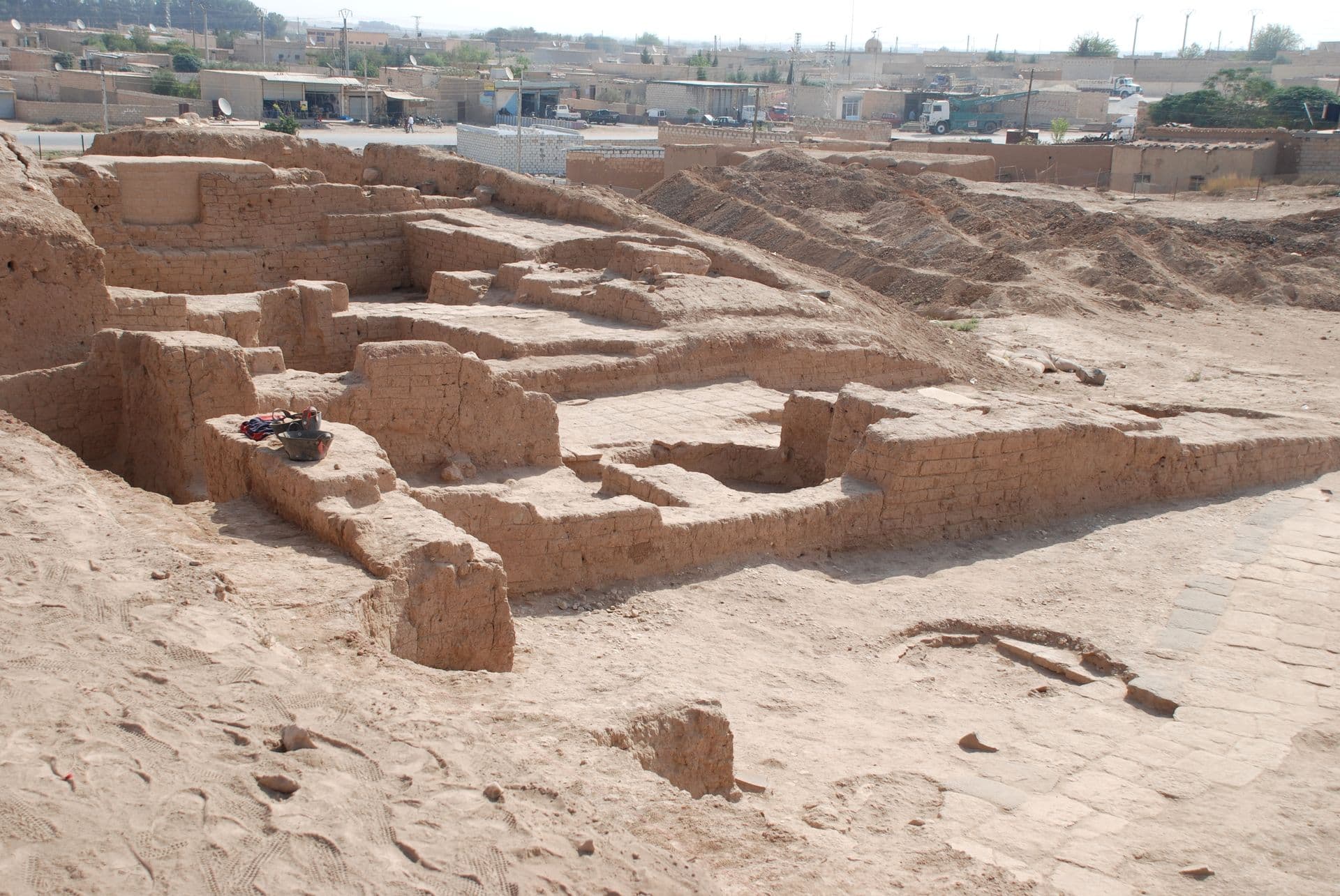
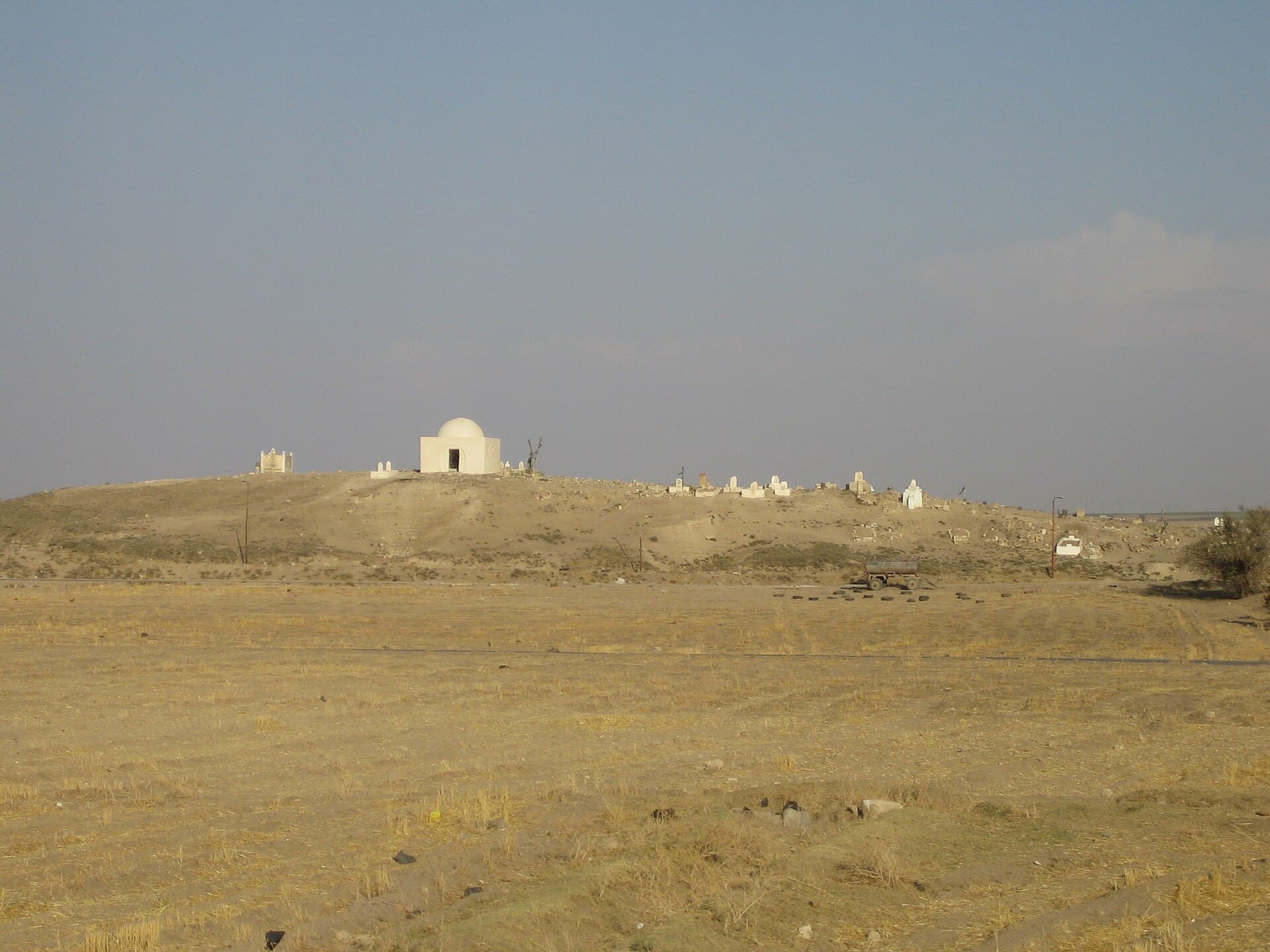
Leave Hasakah heading north-west. Tell Halaf is 94 kilometres on, south-west of Ras al-Ayn; keep the two palaces apart, Kapara’s hilani in the west and the Assyrian governor’s palace in the east. Tell Fekheriye lies two and a half kilometres east, where the Khabur rises; the two fit into one walk. Then turn east: Tell Arbid stands in the Khabur triangle south-west of Qamishli, 30 metres high. Spend the night in Qamishli. On the second day go east, 112 kilometres: the pointed arch of the Ain Diwar bridge stands alone in the middle of the plain.
Timing
Set out at 08:00 on both days. Reach Tell Halaf in the morning; by the afternoon there is no shade left on the mound. Add Tell Fekheriye straight after, since the edge of the mound shows clearly while the flat land is green in spring. That leaves Tell Arbid for late afternoon, and you should climb to the top: the four small mounds around it can only be counted from up there. On the second day reach the arch before noon. The river is no longer beside it — the Tigris runs 500 metres to the east; look closely for the tower and the horseman reliefs, which do not show from a distance.
Take care
Three of the four stops lie close to the border. Keep away from the border strip, do not photograph at military posts, and ask locally about the roads before you set out. Ain Diwar sits where three borders meet; going there and back is a full day on its own and does not combine with the day of the mounds. Do not climb onto the arch, where the stone is loose and there is nothing to hold. The cemetery on top of Tell Fekheriye is in use, so walk quietly. Leave the pottery on the surface where it lies; collecting it is forbidden. The finds are in museums, not on site; what you see on a mound is soil and section.
The route on a map
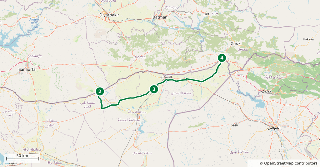
Stops along the route
- 01
- 02
- 03
- 04
Transparency
- How this was chosen
- The stops and their order were set by hand. The line on the map is real road geometry, not a straight hop between pins; distance and duration belong to that itinerary.
- Facts checked
- September 2026
- Last updated
- September 15, 2026