Hasakah
The plain city where the Jaghjagh meets the Khabur and the way in to the tells of the Jazira. What is in town, how to reach the sites, whether you can go.
- Founded
- Grew from a French military post, 1922
- Best season
- March–May, October–November
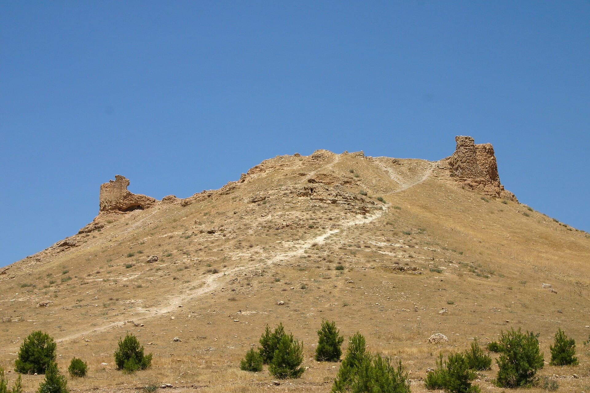
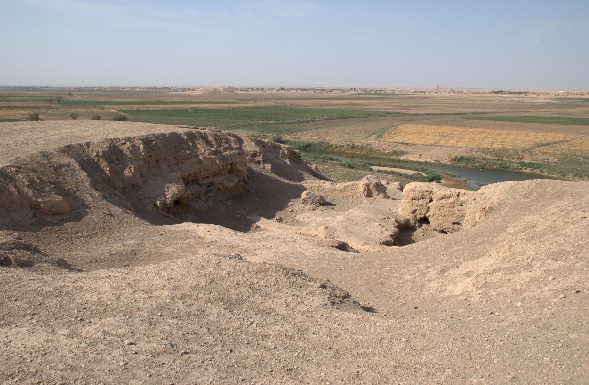
A city of wheat. Hasakah sits in the middle of the Jazira plain where the Jaghjagh runs into the Khabur, and it is the administrative centre of Syria’s north-eastern corner. As a city it is very young. The present settlement opened in 1922 as a French military post. Through the 1920s, Syriac, Assyrian and Armenian families who had fled Anatolia and Iraq settled around it, alongside Kurdish and Arab families. The ground beneath it is not young. The mound in the middle of town has produced Middle Assyrian, Byzantine and Islamic levels, and the settlement on top of it ended in the 15th century.
Where to start
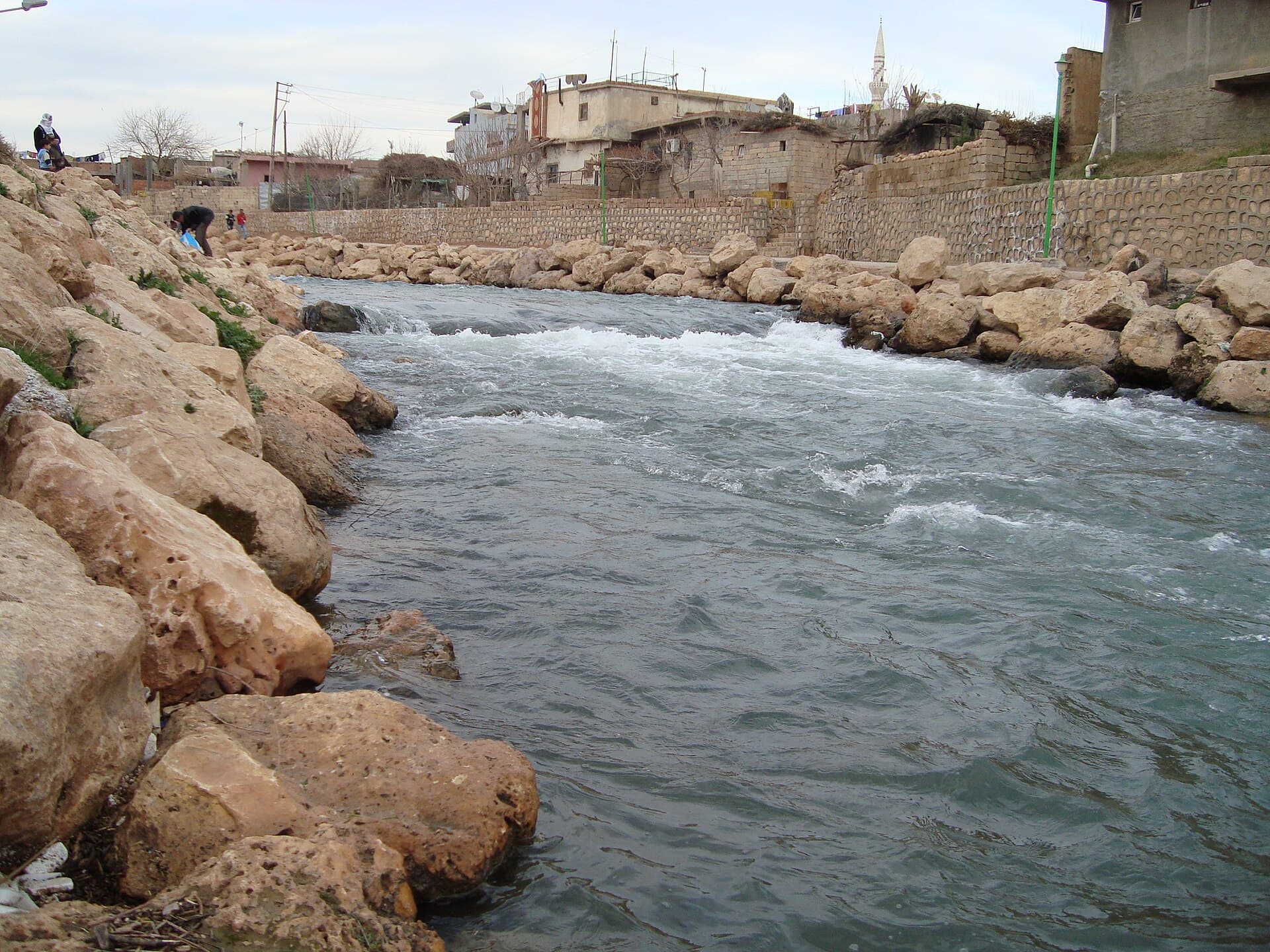
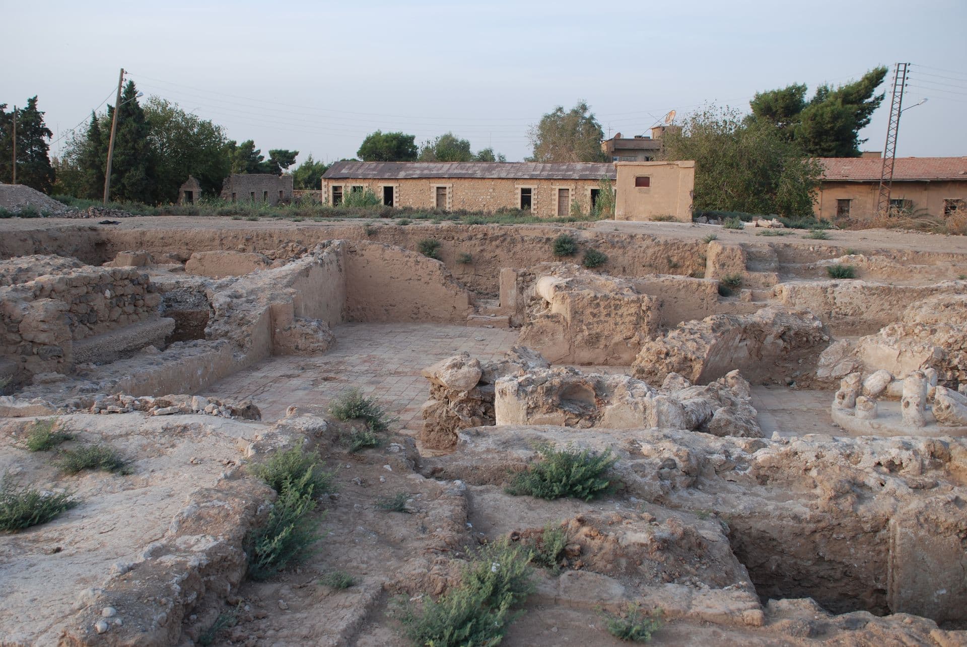
At the mound in the centre. The excavation pit sits inside the town with stone buildings of the French Mandate along its edge — the one place where both of Hasakah’s layers are in a single view. Then go down to the Khabur: the river cuts the town from west to east and the bank can be walked.
In the city
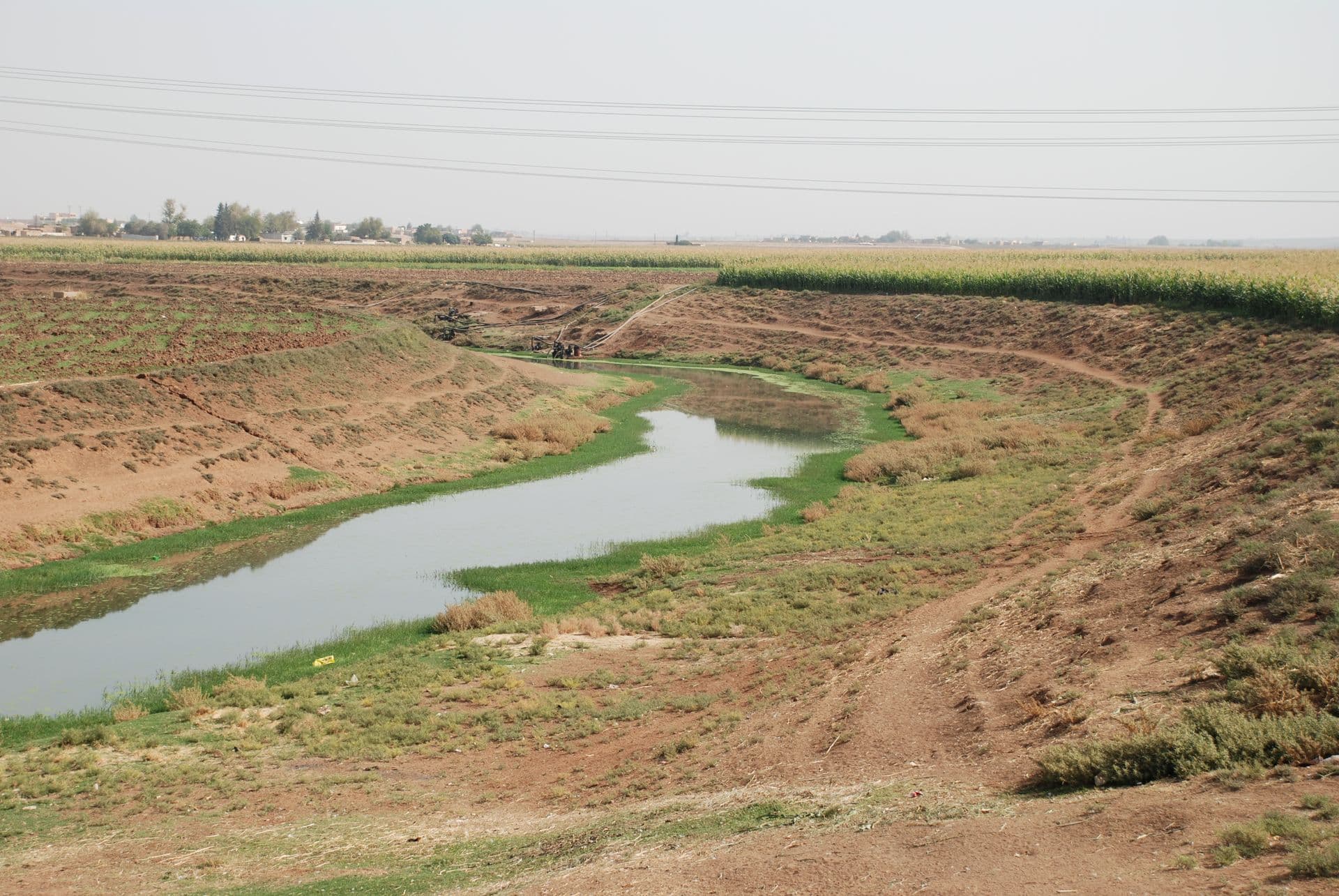
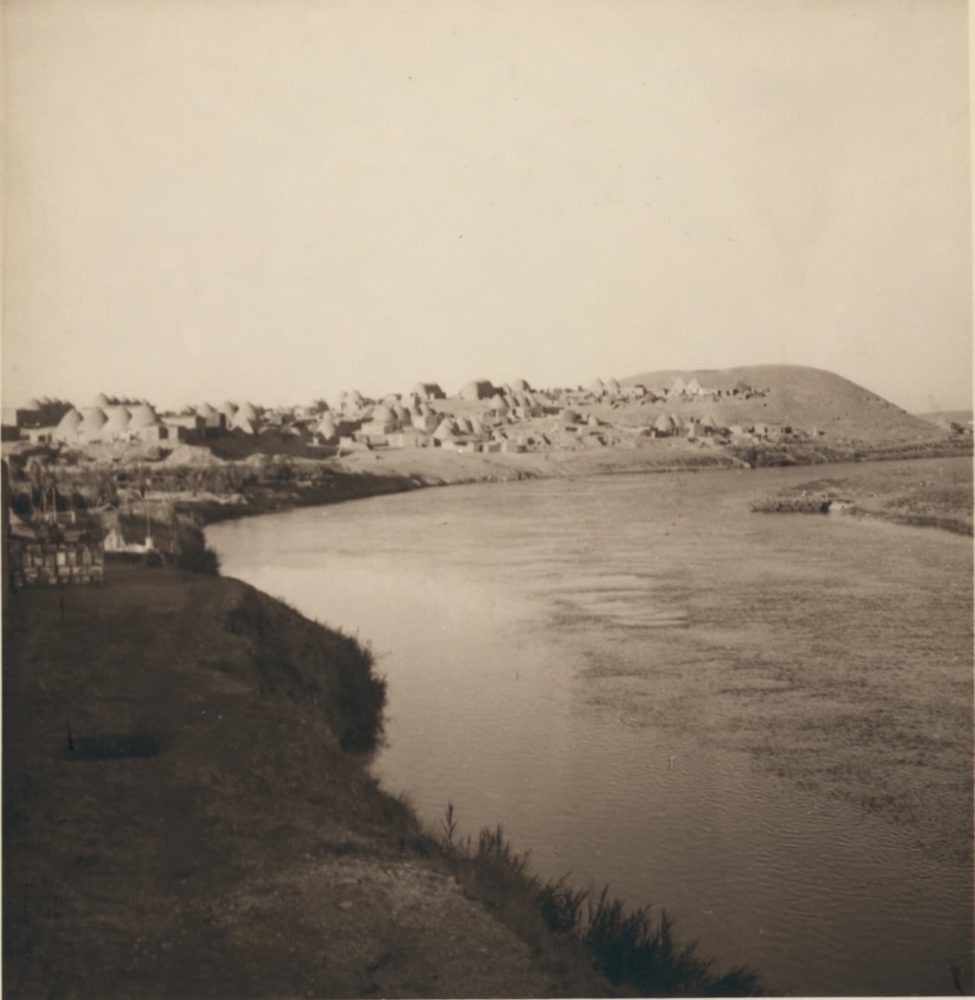
Hasakah is not a sightseeing city but a centre for a farming plain: market, flour mill, hospital, government offices. There are more than forty mosques and nine churches. The churches belong to Syriac Orthodox, Syriac Catholic, Assyrian, Chaldean, Armenian Orthodox, Armenian Catholic and Protestant congregations, and they stand within walking distance of each other. In the market Arabic, Kurdish and Syriac are all in the air at once; the town’s calendar holds Eid, Easter and the spring festival of Newroz. In the 1930s Assyrians fleeing the Simele massacre in Iraq founded a chain of villages along the Khabur. Those villages are still on the riverbank. Over the past twenty years, though, the shrinking river and the war have moved most of their people elsewhere.
Around it
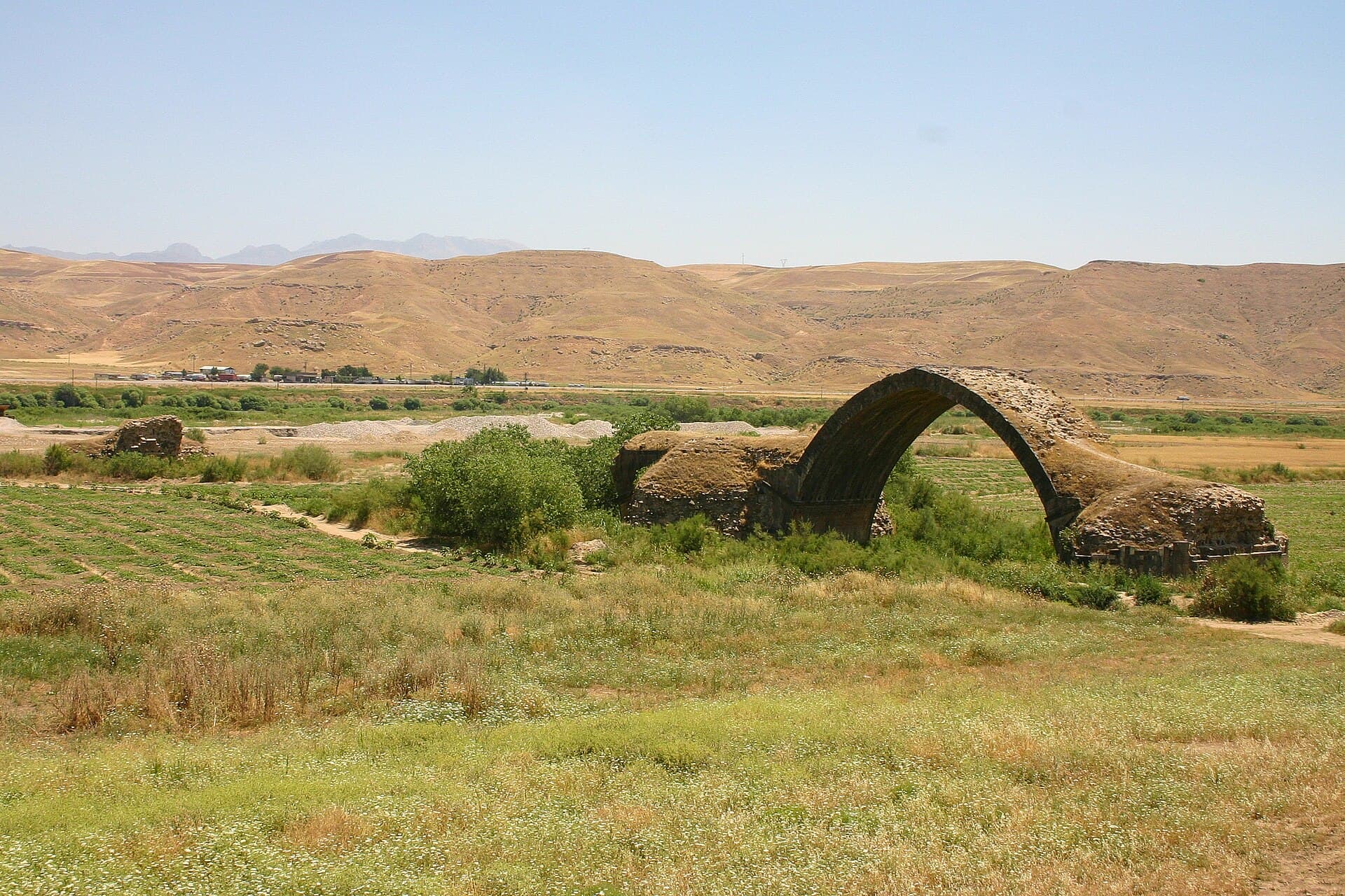
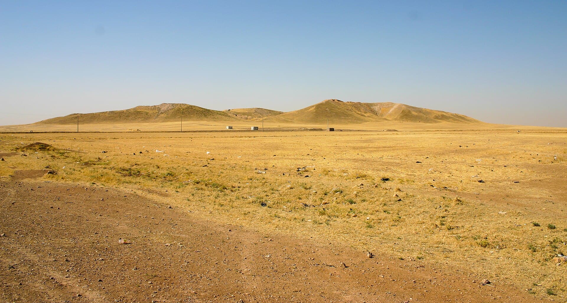
This is the real reason to come. Hasakah sits in the middle of the belt of tells along the Upper Khabur, and that belt holds some of the earliest cities in Mesopotamia. Tell Brak — ancient Nagar — is 40 kilometres north-east by road and counts among the first known cities anywhere. Tell Beydar — Nabada — is 35 kilometres north, drawn onto the plain as two concentric rings of wall. Tell Halaf — Guzana — is 94 kilometres north-west beside Ras al-Ayn on the Turkish border, and an entire prehistoric culture takes its name from it. Most of the finds from all three are in the Deir ez-Zor Museum, some in Aleppo, some in Berlin and London.
Safety and access
Through the war years this region was run by an autonomous administration separate from Damascus. In January 2026 fighting broke out with the transitional government; at the end of that month an agreement set out a gradual military and administrative merger, and government forces entered the city at the start of February. On 20 August 2026 the integration of the north-east’s institutions into the state was declared complete, and five days later the armed force was declared dissolved. None of that means the region is considered safe. Remnants of ISIL still mount attacks in the countryside, and the 2022 raid on the prison in this city turned into a battle that lasted six days. Unexploded ordnance is a reported hazard in countryside that was a front line, and the tells are in exactly that countryside. Official travel advice stays at its highest level for the whole of Syria, and the north-east is singled out within it. Before you set out, ask locally about your route that day, stay on the marked track, take no photographs at checkpoints, and do not travel between cities after dark.
When to go
Semi-arid. Summers are very hot and dry, winters cool and wet, with frost on some nights. March to May and October to November are the only sensible windows. The plain is green in spring and yellow and shadeless by July; there is not one tree on a tell.
Getting there
Roughly 730 kilometres from Damascus by road, through Deir ez-Zor. Qamishli is 84 kilometres north, about an hour’s drive. Distances inside the city are short. No public transport runs to the tells, so you need a car and a driver who knows the area.
Highlights
- The open excavation on the mound in the centre, with Mandate-era buildings along its edge
- Nine churches of seven different congregations within a few streets
- The mud-brick walls of the Naram-Sin building at Tell Brak, 40 kilometres north-east
- The two concentric rings of Tell Beydar drawn onto the plain, 35 kilometres north
- The bank of the Khabur: the strip the city actually uses in the late afternoon
Where to stay
Hasakah is the administrative centre of the region, so rooms exist, but the choice changes from month to month and is nothing like it was before the war. Arrange a place in advance, carry cash, and phone to confirm before you arrive. There is nowhere to stay beside the tells; all of them are done as day trips from Hasakah. Do not drive the rural roads at night, and plan to be back before dark.