Down the Khabur: a day of tells from Hasakah to Deir ez-Zor
A one-way day down the lower Khabur from Hasakah to Deir ez-Zor, past the tells of Thannuris, Tabetu, Shadikanni and Dur-Katlimmu. 222 kilometres, hour by hour.
- Duration
- 9 hours
- Distance
- 222.2 km
- Difficulty
- Hard
- Best season
- March–May, October–November
- stops
- 5
- City
- Hasakah
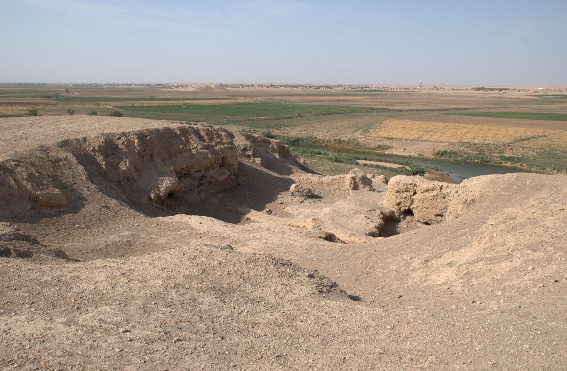
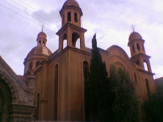
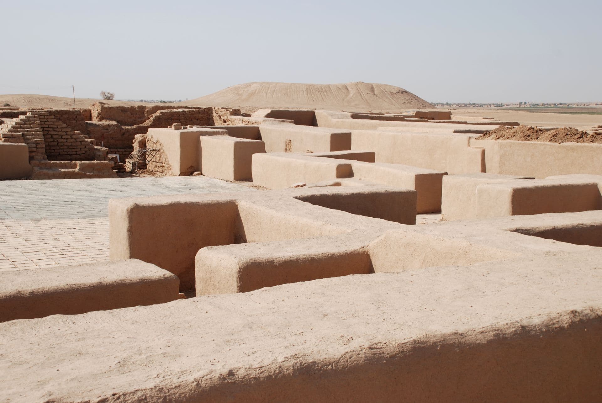
The Khabur flows south from Hasakah to join the Euphrates, and the tells along its banks trace a line of provincial towns and frontier posts from Assyria to Rome. This route follows that line in one direction, in a single day. It starts at St George’s Cathedral in Hasakah’s church quarter. Then come Tell Tuneinir, Rome’s Thannuris; Tell Taban, the Tabatum of the Mari tablets; Tell Ajaja, the Assyrian provincial town of Shadikanni; and Tell Sheikh Hamad, Middle Assyrian Dur-Katlimmu. The day ends in Deir ez-Zor. The total is about 222 kilometres, and you spend the night in Deir ez-Zor.
The route
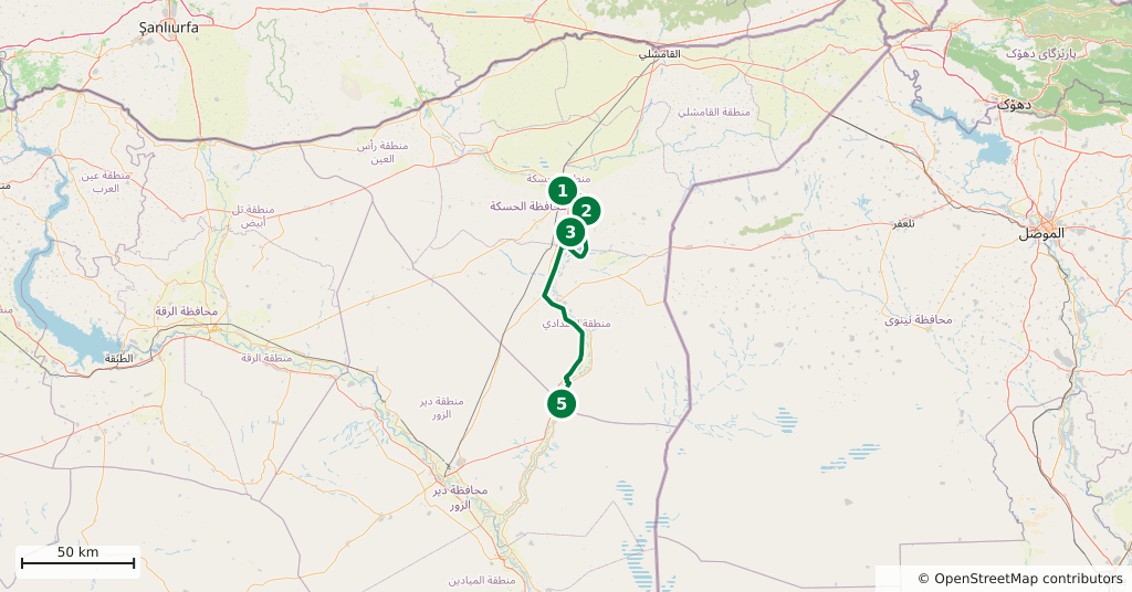
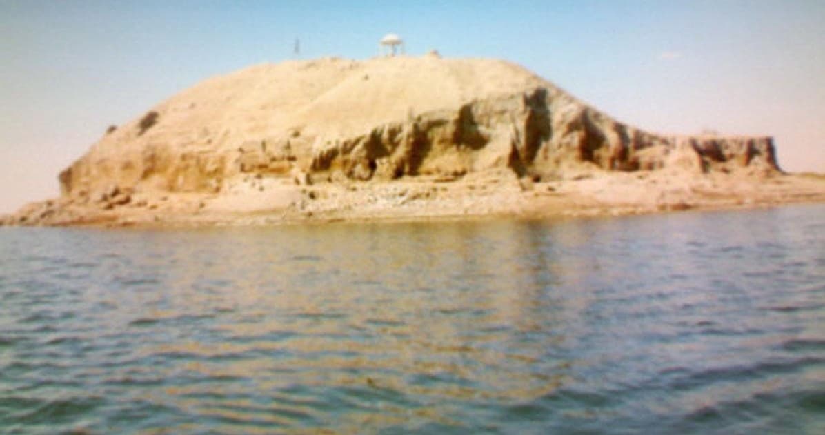
The cathedral stands 500 metres north of the Khabur, in the quarter where the city’s churches cluster. From there head south-east: Tell Tuneinir is on the east bank of the Khabur, 21 kilometres by road, and part of the site lies inside the reservoir of the Basil Dam. From Tuneinir to Tell Taban is 15 kilometres. Taban stands like an island in the reservoir, and reaching the mound depends on the water level; looking at it from the shore is also an option. From there it is 36 kilometres into the Shaddadi area, to Tell Ajaja beside the village of Ajaja Sharqiyeh. Sources place the mound more than 100 metres apart, so ask the way in the village. After Ajaja comes a 77-kilometre stretch of empty plain, and the road ends at Tell Sheikh Hamad in the village of Sur. The last leg to Deir ez-Zor is 73 kilometres.
Timing
Be at the cathedral at 07:00; half an hour is enough. It may be locked outside services, but the 12 windows in the drum of the dome can be counted from outside. Reach Tuneinir by 08:00 and give it an hour. Move on to Taban around 09:40: depending on the water, climb the mound or look from the shore, 45 minutes. Be at Tell Ajaja by 11:30. Arrive at Tell Sheikh Hamad around 13:30 and allow an hour and a quarter; see the plan of the excavation from the top of the mound. Leave at 14:45 and you are in Deir ez-Zor by 16:00.
Take care
Between the two provinces the route runs through the Shaddadi area, and control of the region changed in early 2026. Current access to Tell Ajaja could not be confirmed, nor could how much of Tuneinir and Taban is above water or the state of the roads to them. Ask in Hasakah about that day’s roads and checkpoints before you set out. In 2014 ISIS smashed a Neo-Assyrian statue excavated at Tell Ajaja, and the mound is riddled with looting pits; do not trust the ground, and stay on the open path. On the reservoir shore the ground softens with the water level. On the long leg between Ajaja and Sheikh Hamad the plain is empty, so fill the tank in Hasakah. Reach Deir ez-Zor before dark, do not drive at night, and take no photographs at checkpoints. The route does not enter the Ras al-Ain and Tell Abyad strip; Tell Tamer and Tell Halaf are deliberately left out. There is nowhere to stop for a meal along the way; carry water and food.
The route on a map
Stops along the route
- 01
- 02
- 03
- 04
- 05
Transparency
- How this was chosen
- The stops and their order were set by hand. The line on the map is real road geometry, not a straight hop between pins; distance and duration belong to that itinerary.
- Facts checked
- September 2026
- Last updated
- September 15, 2026