Tell Taban (Tabetu)
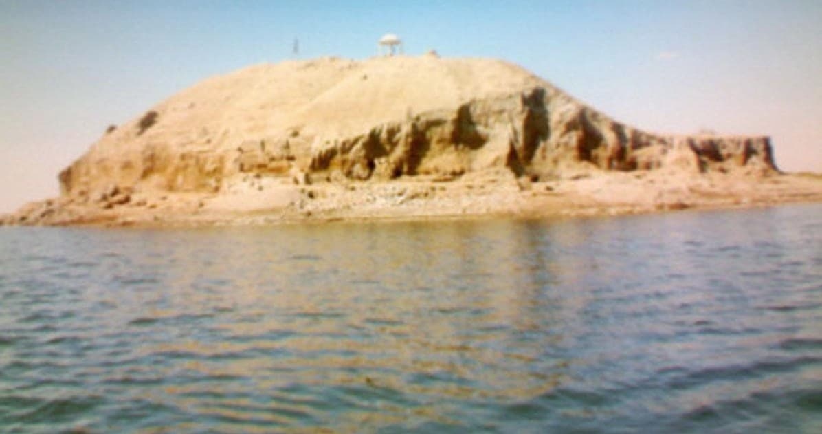
A mound left as an island in the Hasakah dam reservoir: ancient Tabetu, where local vassals of Assyria called themselves kings of Tabetu and the Land of Mari.
- Opening hours
- Open site; access depends on the water level, confirm beforehand
- Entry
- Variable — confirm at the entrance
- Duration
- 45 minutes
- Best time
- Morning or late afternoon; the midday light on the lake is harsh
- Period
- Old Babylonian — Hana — Middle Assyrian
- Address
- Khabur valley, Hasakah dam reservoir; about 19 km south of Hasakah
Tell Taban is a mound south of Hasakah that the reservoir on the Khabur has turned into an island. Its ancient name was Tabatum, later Tabetu. In the 18th century BC it appears in the Mari tablets as a regional centre. From the middle of the 14th century BC to the start of the 12th, it was the seat of a local dynasty subject to Assyria. Excavation produced more than 100 cuneiform tablets, and they describe two separate eras of the city by name, king and temple.
Where it is and how to get there
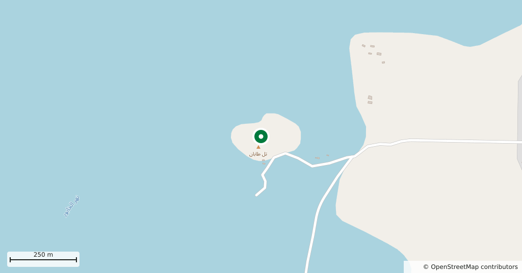
Some 19 kilometres south of central Hasakah as the crow flies, in the Khabur valley. When the reservoir filled, water surrounded the mound; at the current level it stands as an island in the lake. The mound is not submerged and there is something to see on it, but reaching it depends on the water level. We could not confirm current access; before setting out, ask in Hasakah about the road and the water.
How long it takes
A few minutes to look from the shore; if the mound can be reached, three quarters of an hour is enough. The site is small and its slopes are steep.
Tabatum: a distant estate of Mari
In the 18th century BC Tabatum lay some 200 kilometres from Mari, yet Zimri-Lim, king of Mari, kept a large estate here. A letter in the Mari archive tells of an official sent to bring the city into the province of Qattunan, who arrived to find it completely empty: its people had fled some unnamed threat. Later Samsu-iluna of Babylon destroyed the city, and for a time the area passed to the kingdom of Hana, centred on Terqa.
The kings of Tabetu and the Land of Mari
As Mitanni broke up in the middle of the 14th century BC, the area fell to Assyria. The local dynasty at Tabetu kept its throne and remained subject to the Middle Assyrian kings until the start of the 12th century. Its rulers styled themselves kings of Tabetu and the Land of Mari. This Mari was not the old city of Mari on the Euphrates but most likely a name for the middle Khabur area. The first two kings had Hurrian names; later ones took Assyrian names. The city is thought to have had a shrine of the goddess Gula. A letter found here mentions sending 1 sutu of fine oil to the temple of the Sebettu.
What not to miss
The school exercises among the finds. The Tell Taban archive is not only administrative: an Old Babylonian copy of the Weidner god list and exercises written by pupils at a scribal school also came from here. Cuneiform was being taught in this provincial town on the Khabur.
Excavation and the site today
A Kokushikan University team led by Hirotoshi Numoto carried out a salvage excavation in 1997-1999 in response to the Hasakah dam, and returned in 2005-2010. Inscribed objects, mostly building inscriptions, and an archive of more than 100 tablets from the Old Babylonian and Middle Assyrian periods came out of these two campaigns. There has been no excavation since 2010. We could not confirm whether there is a guard or any visiting arrangement on the mound.
Tips
- Access depends on the water level; ask in Hasakah about the road and the water before setting out
- The slopes are steep bare earth; take care when looking down from the edge
- Tell Tuneinir is on the same bank of the Khabur, 12 km to the north; both fit into one day
- The tablets are not on the mound; what you see here is the place the archive came from
Transparency
- How this was chosen
- Written by hand; opening hours, entry fee and coordinates are kept as data. A field that is not known for certain is marked as variable rather than guessed.
- Facts checked
- September 2026
- Last updated
- September 15, 2026