Tell Kazel, the Ancient City of Sumur
A mound rising 25 metres above the Akkar plain south of Tartus: Sumur of the Amarna letters. What was found, where the finds are and what to know before you go.
- Opening hours
- Open mound; check locally how visits work
- Entry
- Varies — check on arrival
- Duration
- 45 minutes
- Best time
- Morning or late afternoon; the midday sun on the plain is harsh
- Period
- Bronze Age — Iron Age — Persian — Hellenistic
- Address
- Safita district, right bank of the Nahr al-Abrash, Akkar plain; south of Tartus
An oval mound at the northern end of the Akkar plain, south of Tartus, rising about 25 metres above the flat land. Its base measures 350 x 325 metres and its flat top 200 x 200 metres. The slopes are steep, and the reason is a city wall buried in the earth. This is Sumur of the Amarna letters, the diplomatic archive of Egypt’s pharaohs in the 14th century BC; Greek writers called it Simyra, and the Bible knows its people as the Zemarites. It was lived in from the Bronze Age to the Hellenistic period, and two campaigns of excavation have uncovered a palace, a temple and Persian-period buildings.
Getting there
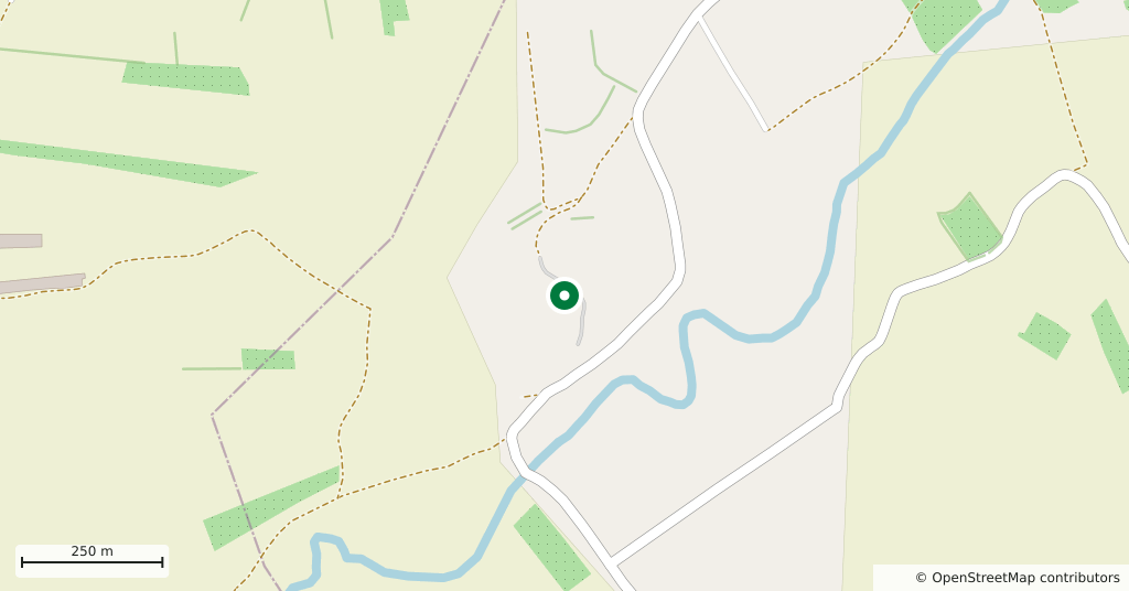
The mound is in the Safita district, on the right bank of the Nahr al-Abrash river, about three and a half kilometres inland from where the river meets the sea. Sources give different figures for the distance from Tartus, so check the map on this page before you set out. It is a single flat-topped hump standing alone on a level plain, so it is easy to pick out as you approach.
How long it takes
Forty-five minutes: enough to walk around the base, climb to the top and look out over the plain. No guard, signs or marked paths have been reported, so think of it as an excavated mound in farmland rather than a site laid out for visitors.
What the excavations found
After a surface survey in 1956, Maurice Dunand and Nassib Saliby identified the mound with ancient Sumur in 1957. The first excavations, between 1960 and 1962, were led by Dunand, Saliby and Adnan Bounni. From 1985 to 2001 the Archaeological Museum of the American University of Beirut and the Syrian Directorate-General of Antiquities worked here for 18 seasons under Leila Badre.
- Late Bronze Age: a palace complex and a temple. Amulets, seals and glazed vessels resemble those of Ugarit. Cypriot bichrome pottery from the 14th to the 12th centuries BC comes from the same level.
- After the destruction: locally made Mycenaean-style pottery, handmade burnished ware and grey ware.
- Iron Age: a settlement of the 9th and 8th centuries BC ends in a layer of burning, linked to the Assyrian invasion.
- Persian period: a storehouse and a defensive building in cut stone. A large Hellenistic cemetery lies north-east of the mound.
Sumur in the written record
In the Amarna letters the ruler of Sumur is named Ahribta. The city was first under the protection of Rib-Hadda, king of Byblos, and then went over to Abdi-Ashirta, king of Amurru. Abdi-Ashirta’s son Aziru took the city again, and Sumur became the capital of the kingdom of Amurru. The Assyrian king Tiglath-Pileser III annexed it in 738 BC; in 721 BC Sumur rebelled against Sargon II. The Bible mentions the Zemarites in Genesis 10:18 and 1 Chronicles 1:16. According to Strabo, this was the southernmost territory of the kingdom of Arwad.
Where the finds are
Part of the material from the mound is displayed in the Tartus Museum, in the Tell Kazel cases inside the old cathedral. Visiting the museum before or after the mound connects the earth sections you see on the hill with real objects.
What most people miss
Walk once around the foot of the mound before you climb it. Its slopes are unusually steep compared with the other mounds on the plain, and that steepness is the trace of the buried wall; the way the city was shaped for defence shows from below, not from the top.
Tips
- Walk around the foot before climbing; the steep slopes mark the buried wall
- See the finds in the Tartus Museum on the same day
- Stay out of the trenches and do not pick up anything from the surface
- Distances in the sources disagree; use the map pin before you set out
Transparency
- How this was chosen
- Written by hand; opening hours, entry fee and coordinates are kept as data. A field that is not known for certain is marked as variable rather than guessed.
- Facts checked
- September 2026
- Last updated
- September 15, 2026