Tell Barri (Kahat)
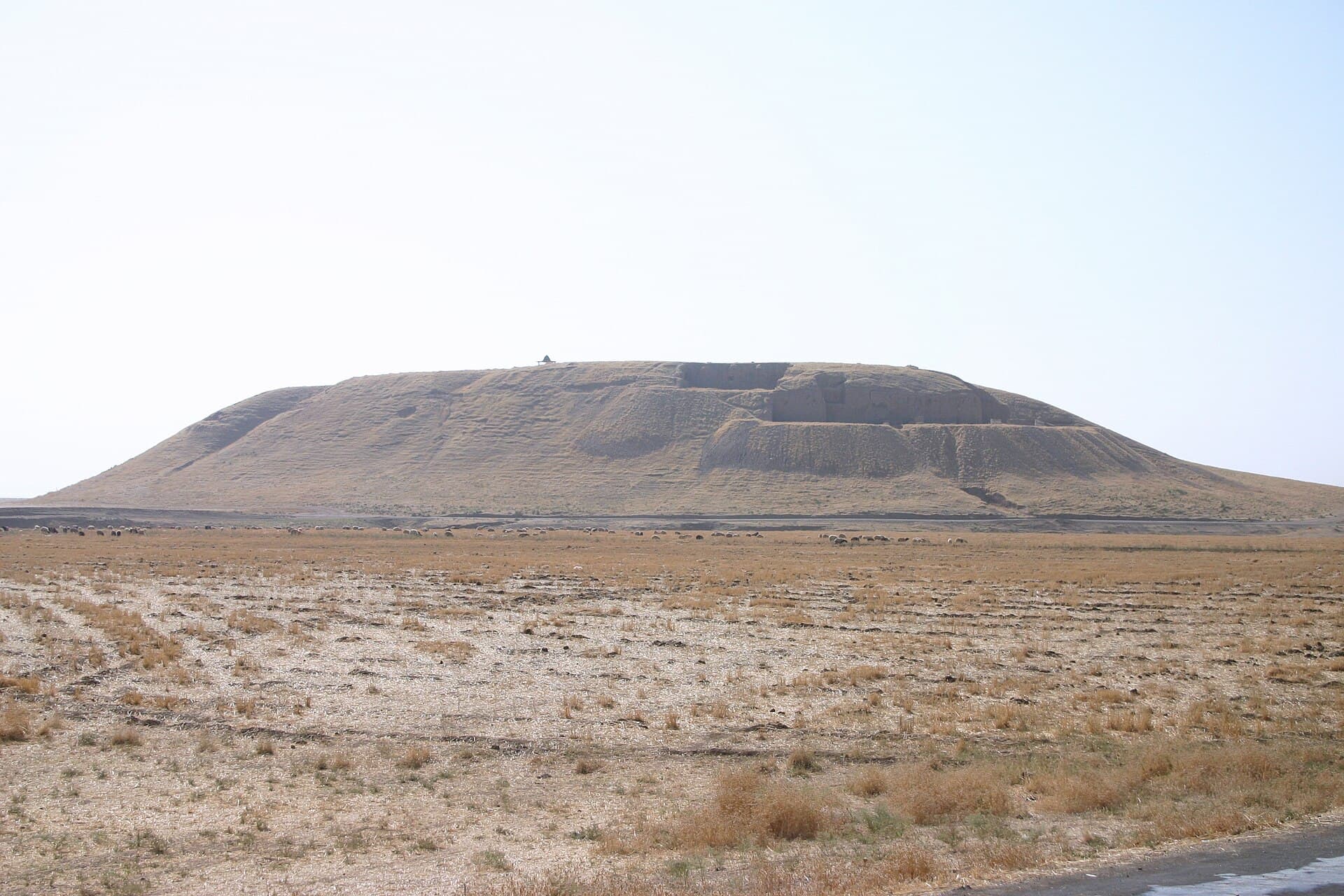
A mound rising 32 metres above the Jaghjagh: ancient Kahat. A holy city of Mitanni, an Assyrian royal palace and a Parthian circuit wall, stacked in one place.
- Opening hours
- Open site, daylight hours
- Entry
- Variable — confirm on arrival
- Duration
- 90 minutes
- Best time
- A spring morning; the plain is green, the mound is cool and the layers read in the light
- Period
- Halaf — Mitanni — Assyrian — Parthian (Mitanni: a Hurrian empire of the second millennium BC)
- Address
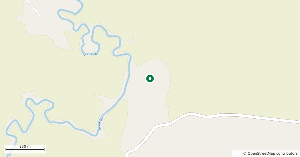
- On the Jaghjagh, 8 km north of Tell Brak; roughly 50 km north-east of Hasakah
Tell Barri is a large mound on the Jaghjagh, a tributary of the Khabur, standing 32 metres above the plain. Its base covers 37 hectares, with a further 7-hectare lower town to the south. Its ancient name is known from a document rather than a guess: a threshold stone carrying the name Kahat was found on the south-western slope. Settlement begins in the fourth millennium BC and never breaks off until modern times.
Getting there
8 kilometres north of Tell Brak and roughly 50 kilometres north-east of Hasakah. An hour by car from Hasakah; the road is paved and the last stretch is a village track. Doing it on the same day as Tell Brak is the obvious plan: the two mounds are ten minutes apart and were two cities of the same kingdom.
How long it takes
An hour and a half. The mound is high and the slope is steep; twenty minutes to reach the top, and the rest walking between the excavation areas.
What to see
Near the top, the mud-brick walls of Tukulti-Ninurta’s palace lie open — by the time the Assyrian kings arrived, Kahat was already a two-thousand-year-old city, and the palace was built over an older building. The thick circuit wall that rings the whole mound is Parthian; from the slope you can follow its line across the plain. On the east side a Parthian residential quarter has been excavated: rooms, courtyards and work areas, a neighbourhood that ran from the second century AD to the seventh. The layer lines in the cut faces are the real document here.
What not to miss
Kahat was a pilgrimage city under Mitanni. The temple of the storm god Teshub stood here, and it is named in the Shattiwaza treaty between the Hittite king and a Mitanni prince — that is, it appears as a witness in a treaty between states. The exact spot is not settled; if there is a guide on the mound, ask where they think it stood. A second detail: the palace archive at Mari records the kings of Kahat as semi-independent rulers, and one of Zimri-Lim’s year names is simply “the year Zimri-Lim seized Kahat”.
What remains
Excavation began in 1980 with a team from the University of Florence, passed to a Naples team and stopped in 2010. The finds, tablets included, went to Aleppo. There is no guard and no signage on the mound today; the edges of the trenches are undercut in places and slide after rain. Ask in the village before you climb, and stay on the path.
Tips
- Do it on the same day as Tell Brak; the two are ten minutes apart
- The slope is steep and the dust is slippery — wear shoes with grip
- Keep away from the trench edges; the cut faces are undercut
- The finds are in Aleppo, not on the mound; what you see here is the architecture itself
Transparency
- How this was chosen
- Written by hand; opening hours, entry fee and coordinates are kept as data. A field that is not known for certain is marked as variable rather than guessed.
- Facts checked
- September 2026
- Last updated
- September 15, 2026