Tell Beydar
Ancient Nabada: a mound north of Hasakah drawn onto the plain as two concentric rings. A fifty-room palace on top, and an archive of tablets counting sheep.
- Opening hours
- Open ground, daylight hours; confirm on arrival
- Entry
- Variable — confirm at the entrance
- Duration
- 90 minutes
- Best time
- Morning; the climb is easy before the sun is high
- Period
- Early Dynastic — Akkadian — Hellenistic
- Address
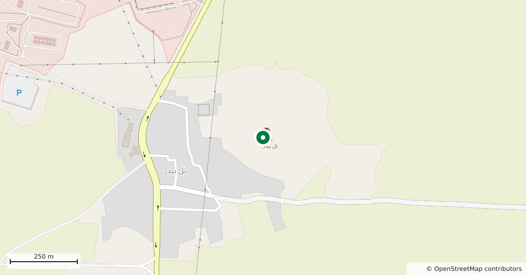
- Tell Beydar village, the Darbasiyah road; 35 km north of Hasakah
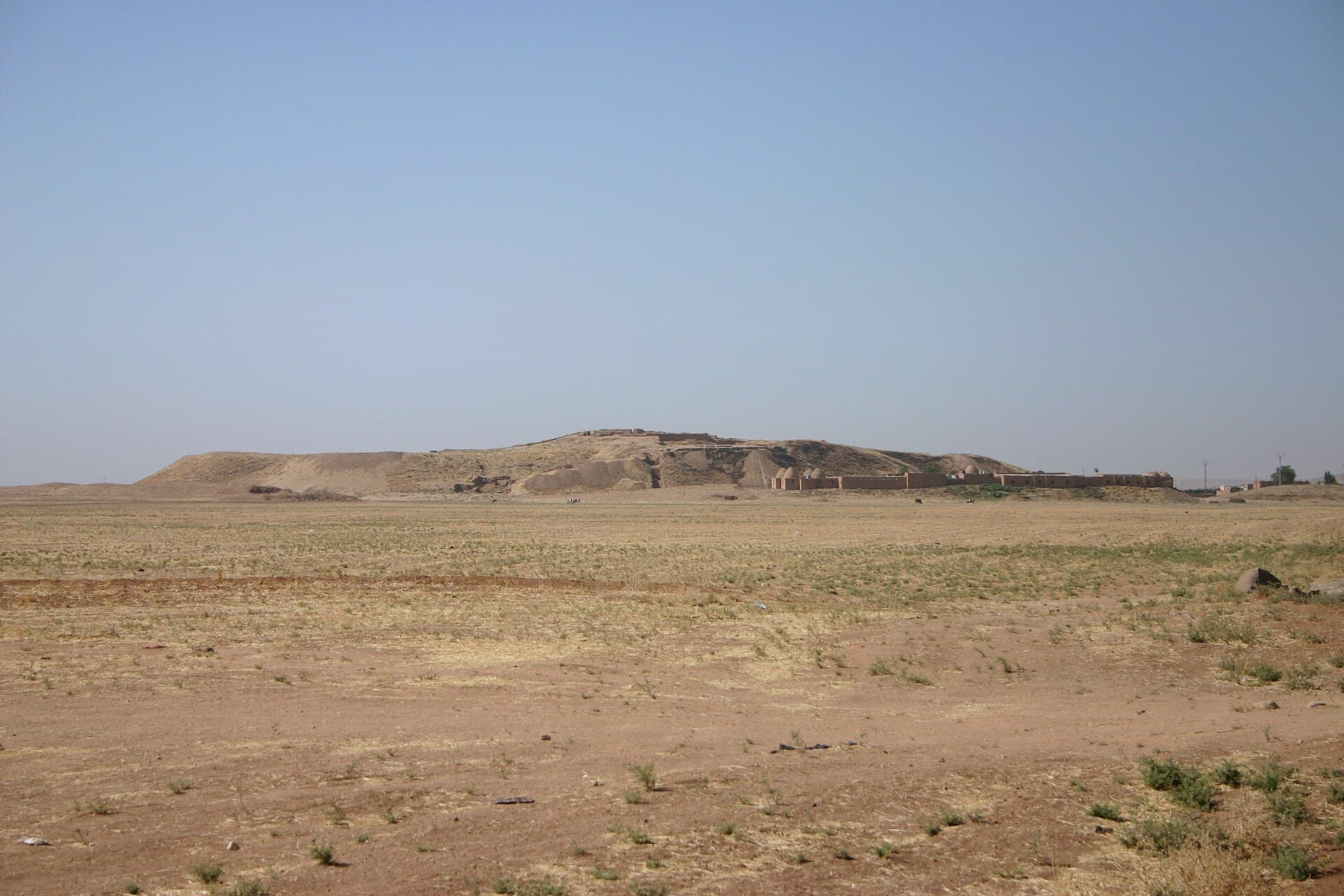
From the air Tell Beydar looks like a target, and that is no accident. The mound is a clear example of what archaeologists call a Kranzhügel, a wreath mound: a walled circular citadel in the middle, and around it a lower town that is also circular and also walled. The inner wall is 300 metres across, the outer 600; the outer wall is five metres thick and had four gates. The city was founded around 2800 BC, became a provincial capital under the kingdom of Nagar by 2450 BC, and in that period its name was Nabada.
Getting there
35 kilometres north of Hasakah by road, on the route running north to Darbasiyah. About an hour by car. You can see the mound from the road; it stands twenty-seven metres above the plain.
How long it takes
An hour and a half is enough. The central site covers twenty-two hectares, but what you walk is the top of the mound.
What to see
On the summit is an Early Dynastic palace: fifty metres by sixty, fifty rooms, plastered walls and a large central courtyard. It was built using the walls of an older palace of eighteen rooms — the building was made twice, the second sitting on the first. Five large temples were excavated in the city centre; together they cover a sixth of that centre, an extraordinary proportion for a Mesopotamian city. And on the very top of the mound lies a far later layer: a Hellenistic settlement.
What not to miss
Follow the two circles at ground level. The lower town was abandoned after the middle of the third millennium BC, and the line of its wall still runs through the fields as a low swell; from the foot of the mound you can see the ring. The second thing is invisible, but its record was found here: nearly two hundred and fifty early cuneiform tablets came out of the site, most of them from a single archive. They are not royal inscriptions but farm ledgers, counting how many sheep from which flock were plucked. They date to a generation before the fall of Ebla, and it was these ledgers that established the link between Nagar and Nabada.
The site today
The site was dug for seventeen seasons between 1992 and 2010 by a joint Syrian and European team, with restoration seasons in between. The finds are in the Deir ez-Zor Museum. What threatens the mound is not the war but the spread of the neighbouring village: in recent years house-building has reached the foot of the site. Before you go, ask in Hasakah what the road is like.
Tips
- Walk a circuit around the foot: the outer wall still runs through the field as a low swell
- Start at the central courtyard of the palace on top — the sequence of rooms reads from there
- Do not climb onto the mud-brick walls; there is no protective cover and the surface is exposed
- The tablets and seal impressions are not here but in the Deir ez-Zor Museum
- If Tell Brak is in the same day, there is no direct road between them; the return runs through Hasakah
Transparency
- How this was chosen
- Written by hand; opening hours, entry fee and coordinates are kept as data. A field that is not known for certain is marked as variable rather than guessed.
- Facts checked
- September 2026
- Last updated
- September 15, 2026