Tell Fekheriye
A mound at the head of the Khabur, two and a half kilometres east of Tell Halaf. The city of Sikkan, a bilingual inscription and the Washukanni argument.
- Opening hours
- Open ground, through the day; the dig house and the site may be closed
- Entry
- Variable — confirm at the entrance
- Duration
- 60 minutes
- Best time
- Spring, when the plain is green and the edge of the mound stands out
- Period
- Neolithic — Assyrian — Roman
- Address
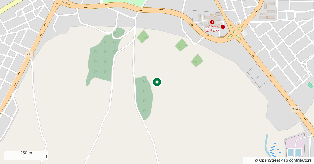
- Beside Ras al-Ayn, the head of the Khabur, north-west of Al-Hasakah
On the plain where the springs of the Khabur rise, at the edge of Ras al-Ayn, lies a wide low mound. Cuneiform records call it Sikkan: it is attested from about 2000 onward, and around 1000, under an Assyrian governor, it was called Sikani and belonged to the Aramaean state of Bit Bahiani. It is easy to drive past. Several mounds stand close together here; Tell Halaf is two and a half kilometres west.
Getting there
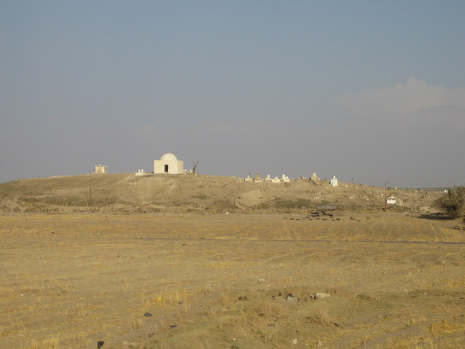
North-west of Al-Hasakah, right beside Ras al-Ayn. The mound sits among fields with a shrine and a cemetery on its crown, and from a distance those are what mark the site.
How long it takes
An hour, including the climb up the eastern slope to look out over the plain.
What to see
The site covers about 90 hectares, 12 of them the high mound and the rest a low settlement spread around it. The tell is wide rather than tall. There is little standing architecture to see, because the digging has always gone forward in small soundings. Occupation runs from the Neolithic to the Roman and Byzantine period, but the full layers are Middle and Neo-Assyrian; the Mitanni period is represented only by scattered sherds.
What not to miss
The bilingual inscription that came out of here. Cut on the statue of a ruler named Hadad-yith’i, the text is written both in the Assyrian dialect of Akkadian and in Aramaic. It is one of the most important documents for early Aramaic and the source of everything we know about the man. The statue is not on the mound, but this is where the inscription was found.
Was it Washukanni
Early in the twentieth century the mound was proposed as Washukanni, the capital of Mitanni. The argument rested on the similarity of names alone, and many scholars rejected it; Sikkan is a Semitic name already recorded around 2000. A clay tablet sent from Washukanni to Egypt was chemically compared with samples from here and did not match. The question is still open, though: recent excavation has given the identification new defenders.
Where it stands now
The mound was first mapped in 1929. In 1940 teams from Chicago and Boston cut soundings, and a Middle Assyrian tablet they found gives the town’s name at that date as Dunnu. A Berlin-led team worked here in the 2000s; the 2009 and 2010 seasons produced further Middle Assyrian tablets, the last of them some 40 texts and fragments. Ras al-Ayn has sat on a line of military control since 2019, access to the site is not regular, and its condition cannot be independently confirmed.
Tips
- The cemetery on the crown is in use; walk carefully among the stones and keep quiet
- Tell Halaf is two and a half kilometres west; both fit into one walk
- Sherds lie thick on the surface — leave them where they are, collecting is illegal
- You are close to a line of control; ask locally about conditions before setting out
Transparency
- How this was chosen
- Written by hand; opening hours, entry fee and coordinates are kept as data. A field that is not known for certain is marked as variable rather than guessed.
- Facts checked
- September 2026
- Last updated
- September 15, 2026