Two tells from Hasakah: Nabada and Nagar
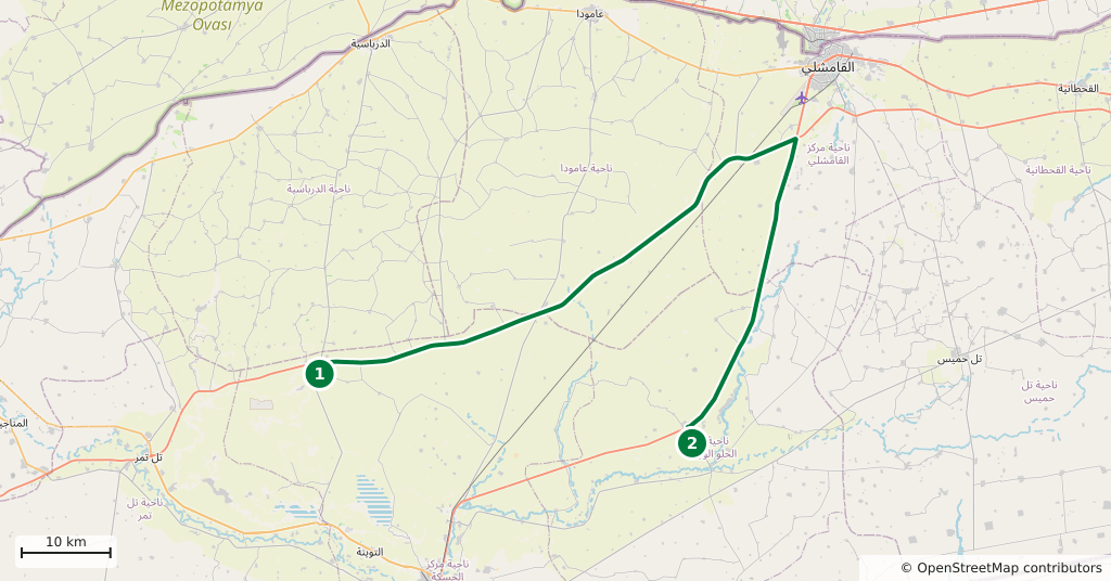
Two Mesopotamian cities in one day: Tell Beydar to the north, Tell Brak to the north-east. 176 kilometres, built as a loop back through Hasakah, hour by hour.
- Duration
- 9 hours
- Distance
- 176 km
- Difficulty
- Moderate
- Best season
- March–May, October–November
- stops
- 2
- City
- Hasakah
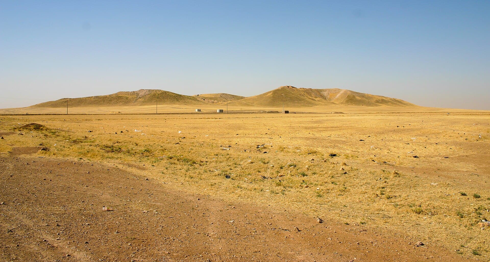
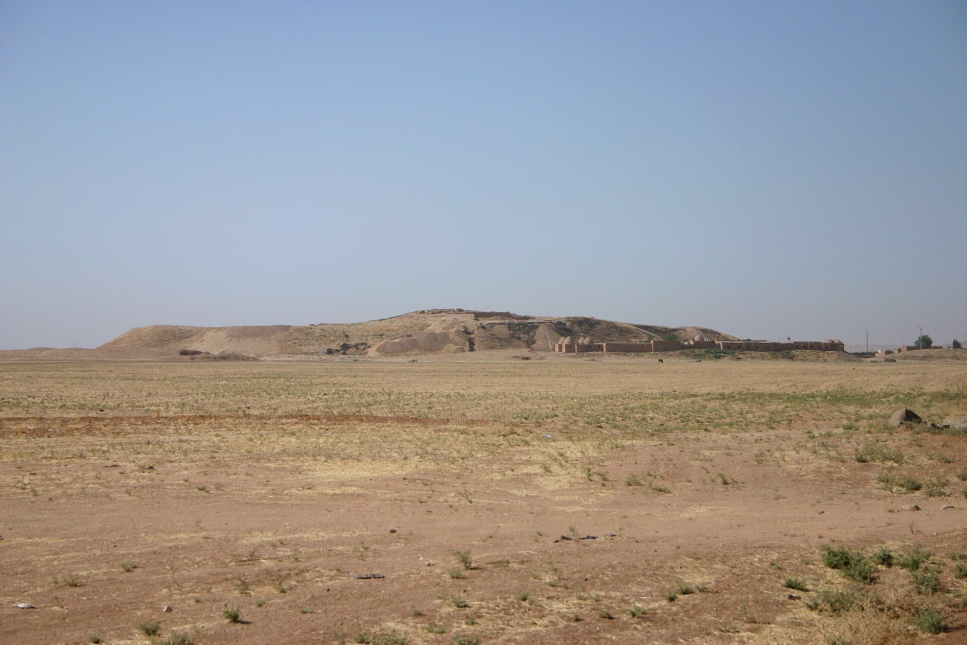
This day is two mounds, and they lie on two different arms out of Hasakah. To the north is Tell Beydar — ancient Nabada — a city drawn onto the plain as two concentric rings. To the north-east is Tell Brak — ancient Nagar — one of the earliest known cities anywhere. As the crow flies they are close, but there is no direct road between them; the trip is built as a loop back through Hasakah and comes to 176 kilometres. Close to three hours of that is in the car, the rest is on the sites.
The route
Head north out of Hasakah. The Darbasiyah road reaches Tell Beydar after 35 kilometres, and the mound is visible from the road. Come back down the same way into town, then take the north-east road towards Tell Brak, 40 kilometres out. Hasakah is the only real stopping point in between, so buy your water and food in the morning.
Timing
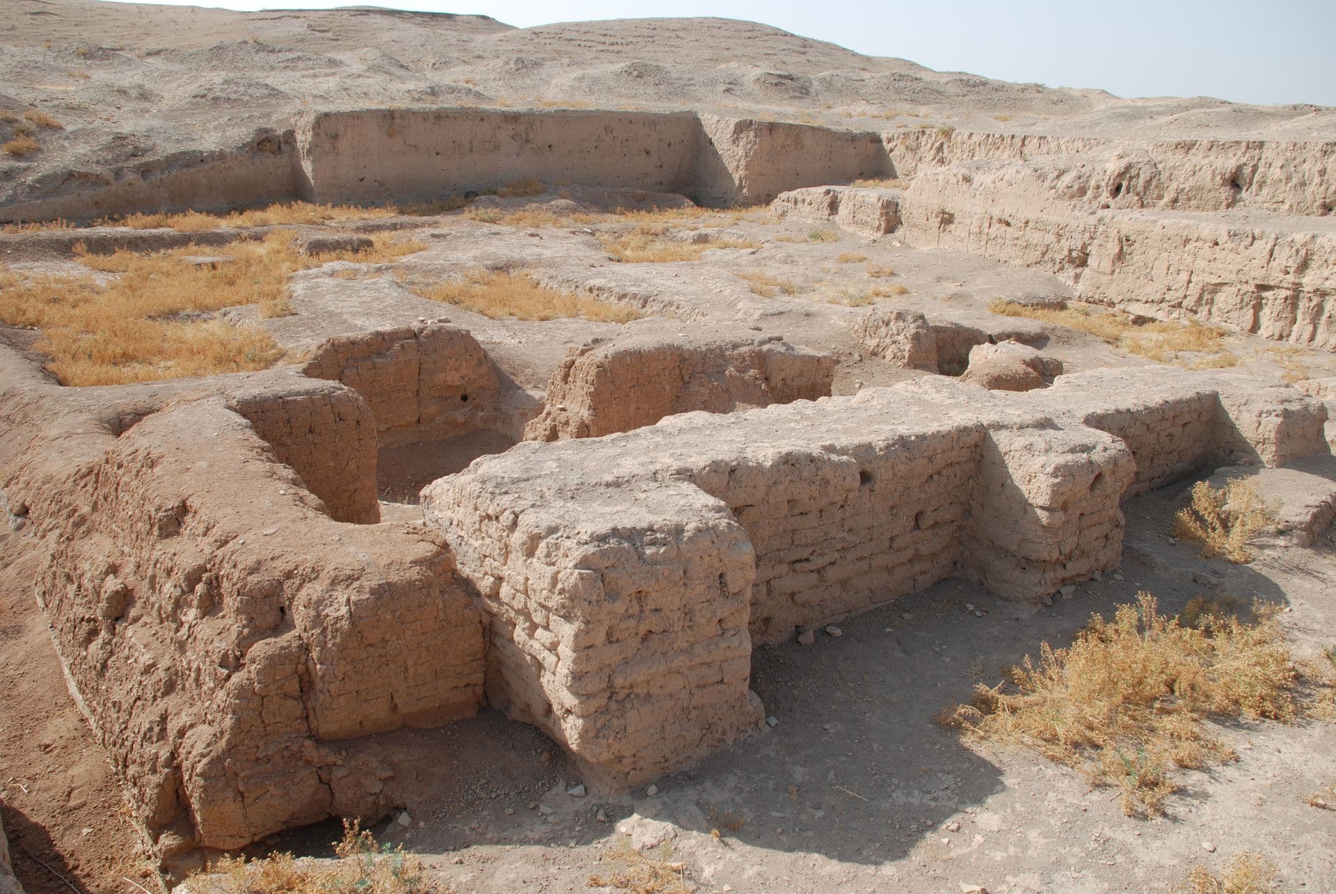
Leave at half past seven. Be at Tell Beydar by nine and climb the mound before the sun is high; an hour and a half is enough. Be back in Hasakah around midday and take an hour there. Be at Tell Brak by two and give it two hours: the walls of the Naram-Sin building first, then area HH and the summit. Leave before four and be back in town before dark.
Watch out
Neither site has any shade; water, a hat and firm soles are your own problem. Do not step on the mud-brick walls and keep away from the edges of the trenches — they have been undercut. Ask in Hasakah about the state of the countryside before you set out, stay on the marked track, take no photographs at checkpoints, and do not drive at night. Tell Halaf is not on this route: it lies 94 kilometres north-west and is a day of its own.
The route on a map
Stops along the route
- 01
- 02
Transparency
- How this was chosen
- The stops and their order were set by hand. The line on the map is real road geometry, not a straight hop between pins; distance and duration belong to that itinerary.
- Facts checked
- September 2026
- Last updated
- September 15, 2026