Aleppo to the Euphrates in two days: Lake Jabbul, Umm el-Marra, Emar and Qal’at Ja’bar
The old trade road from Aleppo to the Euphrates: Lake Jabbul, the 25-hectare Umm el-Marra mound, Emar of the tablets, the Balis minaret of 1210 and Qal’at Ja’bar.
- Duration
- 15 hours
- Distance
- 378 km
- Difficulty
- Hard
- Best season
- April–May, September–October
- stops
- 5
- City
- Aleppo
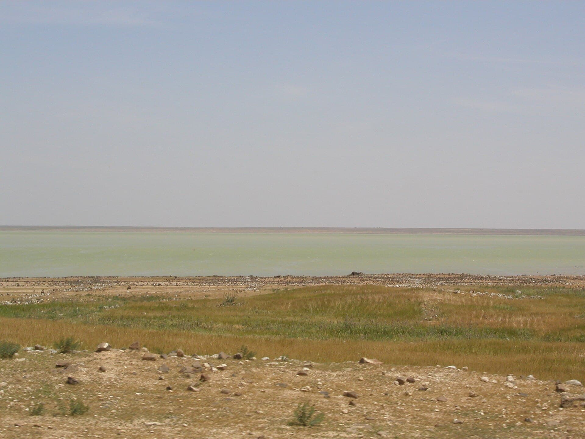
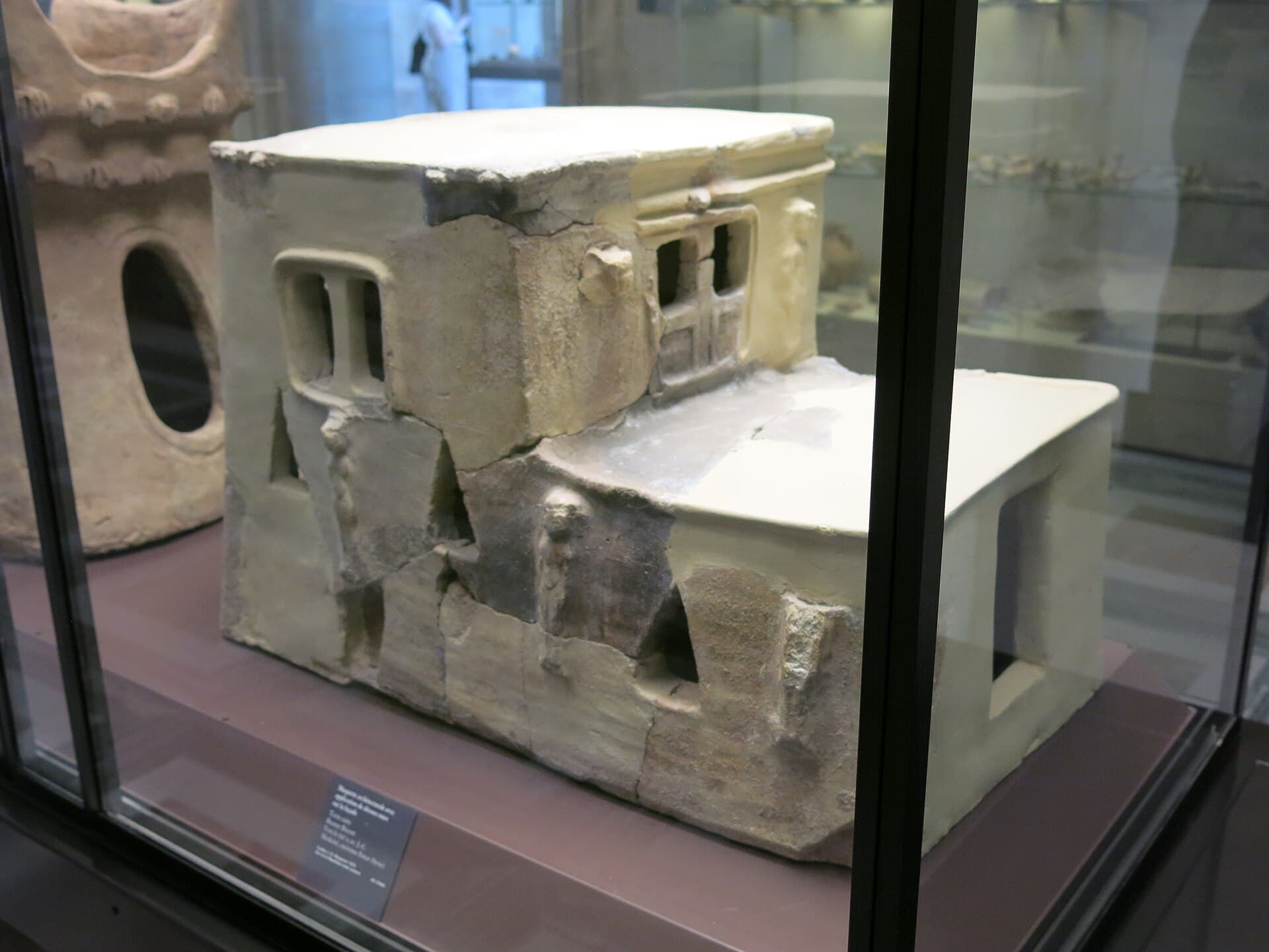
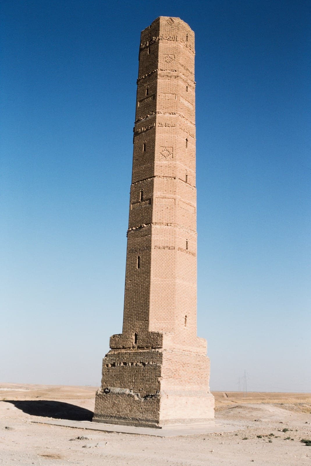
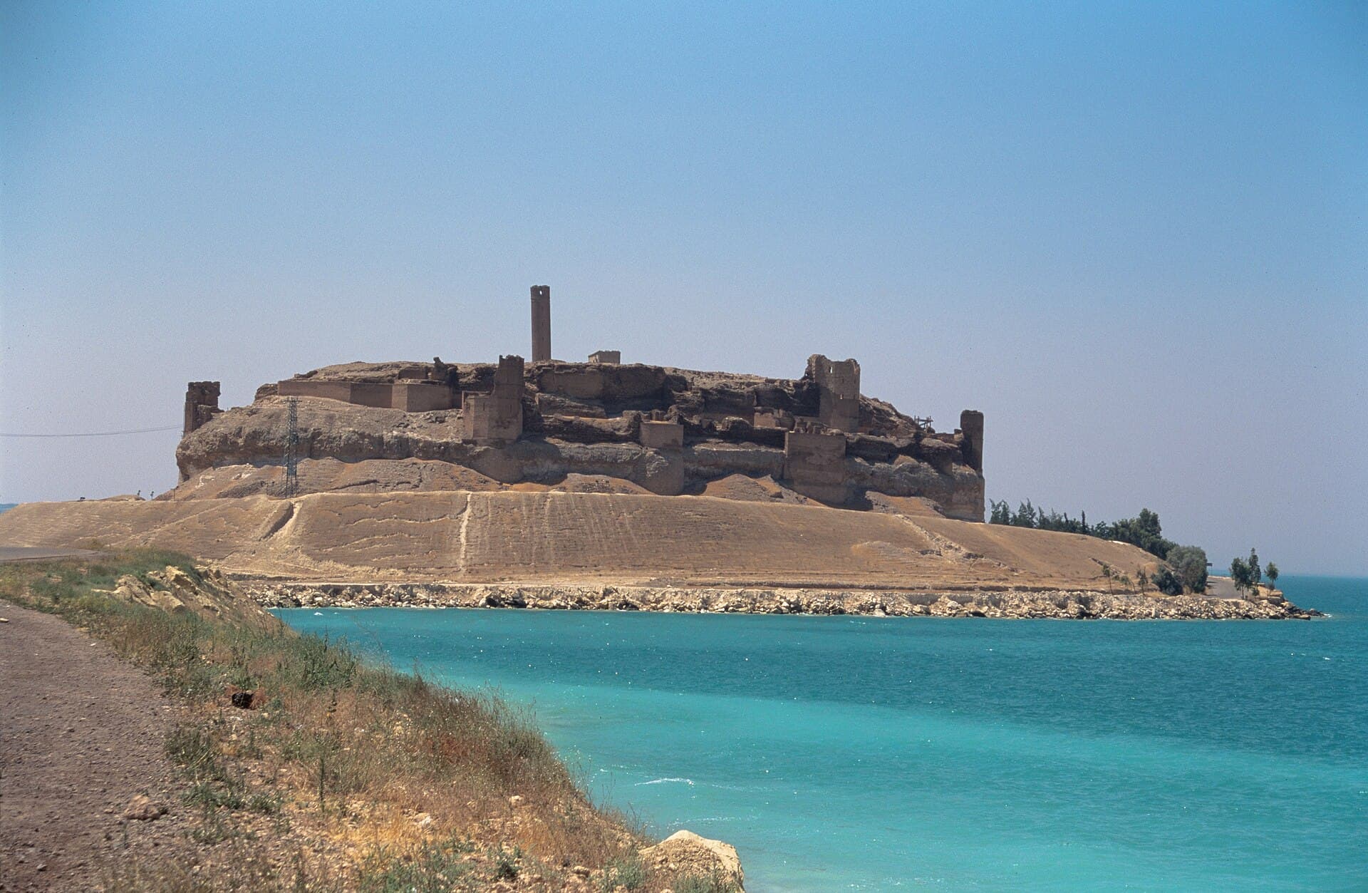
The old trade road east from Aleppo to the Euphrates passes five layers in a day. Lake Jabbul is the largest natural lake in Syria; in 2009 its water covered about 100 km². Umm el-Marra was a town of 25 hectares in the third millennium BC, where two trade routes crossed. The tablets of Emar record field sales, wills and adoptions, and the city ends in 1187 BC. At Balis an Ayyubid brick minaret of 1210 still stands. The last stop is Qal’at Ja’bar, the castle that became an island when Lake Assad filled. The outward drive is over 200 kilometres. The day ends at Qal’at Ja’bar, the night is spent in Tabqa, and the return to Aleppo comes the next day.
The route
Leave Aleppo on the Raqqa road. Lake Jabbul means turning off the main road; ask in Aleppo which road reaches the shore and whether the reserve is open. Umm el-Marra is 54 kilometres from Aleppo by road, north of the Raqqa road; the last stretch is a field track. From there to Emar is 57 kilometres: the mound of Tell Meskene lies near the town of Maskanah on the shore of Lake Assad. Balis is on the same Maskanah plain but is a separate site from Emar. Its published coordinates disagree, so ask the way to the minaret in Maskanah. From Emar to Qal’at Ja’bar the road loops round the lake and comes to 90 kilometres. The castle is joined to the shore by a causeway and the last stretch is on foot. Tabqa is close by. Next day the drive back to Aleppo is 177 kilometres and takes more than four hours; or carry on along the Euphrates to Raqqa.
Timing
Leave Aleppo at 07:00. Reach Jabbul in the morning; forty-five minutes is enough to watch the waterbirds through binoculars and walk the shore. You are at Umm el-Marra around 09:30: walking the line of the wall on top of the mound takes an hour. You reach Emar towards midday. The tablets are not here; what you see is the excavation area and the lake. Forty-five minutes is enough, and take your lunch break there. Move on to Balis around 14:00; the brick bands of the minaret take half an hour. Reach Qal’at Ja’bar around 17:00: the afternoon light softens over the lake, and from the minaret the water is visible from end to end. The castle takes an hour and a half. Drive down to Tabqa before dark.
Take care
The Deir Hafer–Maskanah line was a front line that changed hands in recent years. Mines and unexploded ordnance are a risk: do not enter unmarked ground or fields, and do not touch metal lying on the ground. Ask in Aleppo about road conditions before you set out. The last stretch to Umm el-Marra is impassable after rain; the site is unfenced and unguarded. At Jabbul, ask local people about the ground before driving onto the salt flats. At Qal’at Ja’bar the ground is not sound everywhere because of dug tunnels, so keep to the marked path. Distances are long and fuel is not available everywhere; fill the tank in Aleppo. There is no shade at any stop: take water, a hat and sunglasses. Entry fees vary, so check on site. After October the days are too short for this plan; in that season, drop Balis.
The route on a map
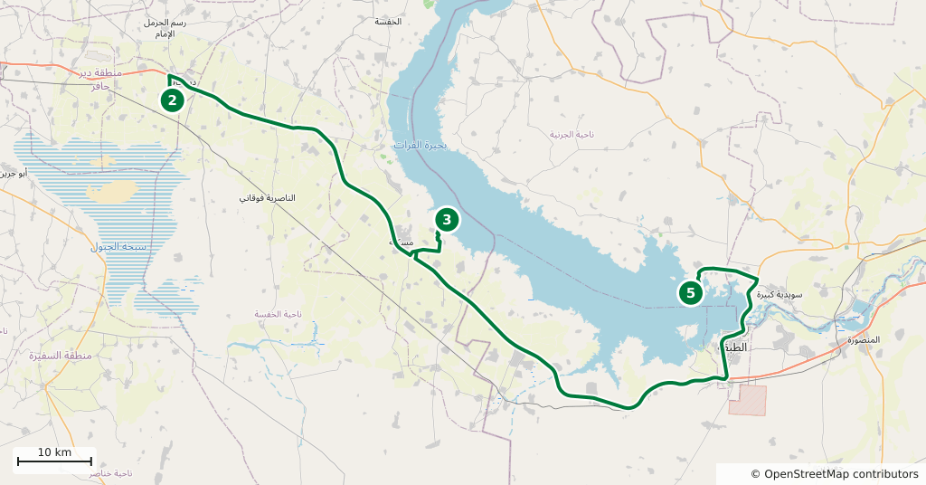
Stops along the route
- 01
- 02
- 03
- 04
- 05
Transparency
- How this was chosen
- The stops and their order were set by hand. The line on the map is real road geometry, not a straight hop between pins; distance and duration belong to that itinerary.
- Facts checked
- September 2026
- Last updated
- September 15, 2026