Ismaili castles of the coastal mountains: Al-Kahf, Qadmus, Aleika and Maniqa
Four Nizari Ismaili strongholds in one day: Sinan’s Al-Kahf, Qadmus on its rock, the double-walled Aleika and Maniqa above Jableh. About 50 km of mountain road.
- Duration
- 9 hours
- Distance
- 49.6 km
- Difficulty
- Moderate
- Best season
- April–June, September–October
- stops
- 4
- City
- Tartus
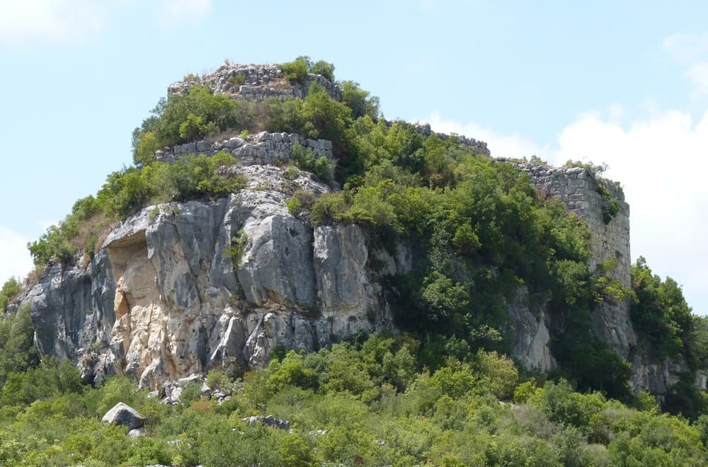
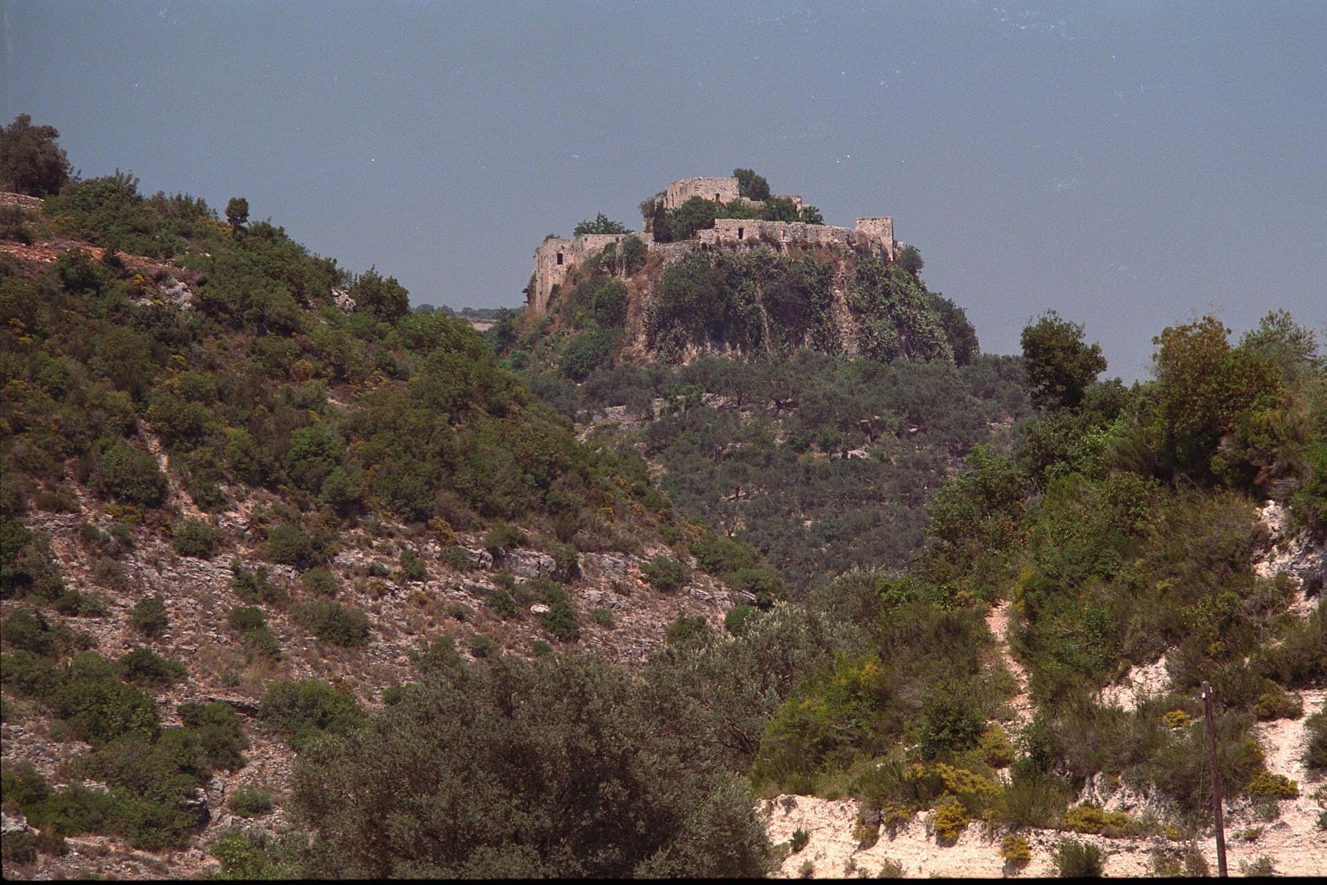
In the mid-12th century the Nizari Ismailis built a network of castles in Syria’s coastal mountains, each within sight of the next. Masyaf is the best-known link; this route follows four others on the western slopes. It starts in the south at Qalaat al-Kahf, the headquarters and burial place of Rashid al-Din Sinan. It passes Qadmus, set on a detached block of rock above its town, and Aleika with its two rings of walls. It ends in the Jableh hills at Maniqa, a castle founded through a trick in 1028. Four stops, about 50 kilometres of mountain road, one day. The Mamluk sultan Baybars took all four between 1270 and 1273.
The route
From Tartus take the mountain road towards Sheikh Badr to reach Al-Kahf. On the map the distance looks short, but the road winds and its last stretch is narrow. No car reaches the castle: leave it near al-Qumsiya. The only way in is a narrow path halfway up the north slope. From Al-Kahf drive northeast to Qadmus, 16 kilometres and close to forty minutes. When you reach the town, the castle is right above it and steps lead up. From Qadmus, Aleika is 18 kilometres north, again about forty minutes. The castle is on the rocky ridge above the village of Al-Ulayqa, reached by a stony track. The last leg runs northwest: Maniqa is 15 kilometres, about forty minutes. The road ends in the village of Wadi al-Qalaa, and from there a dirt path climbs to the castle in 15-20 minutes. Jableh is half an hour below Maniqa. Come back along the coast road.
Timing
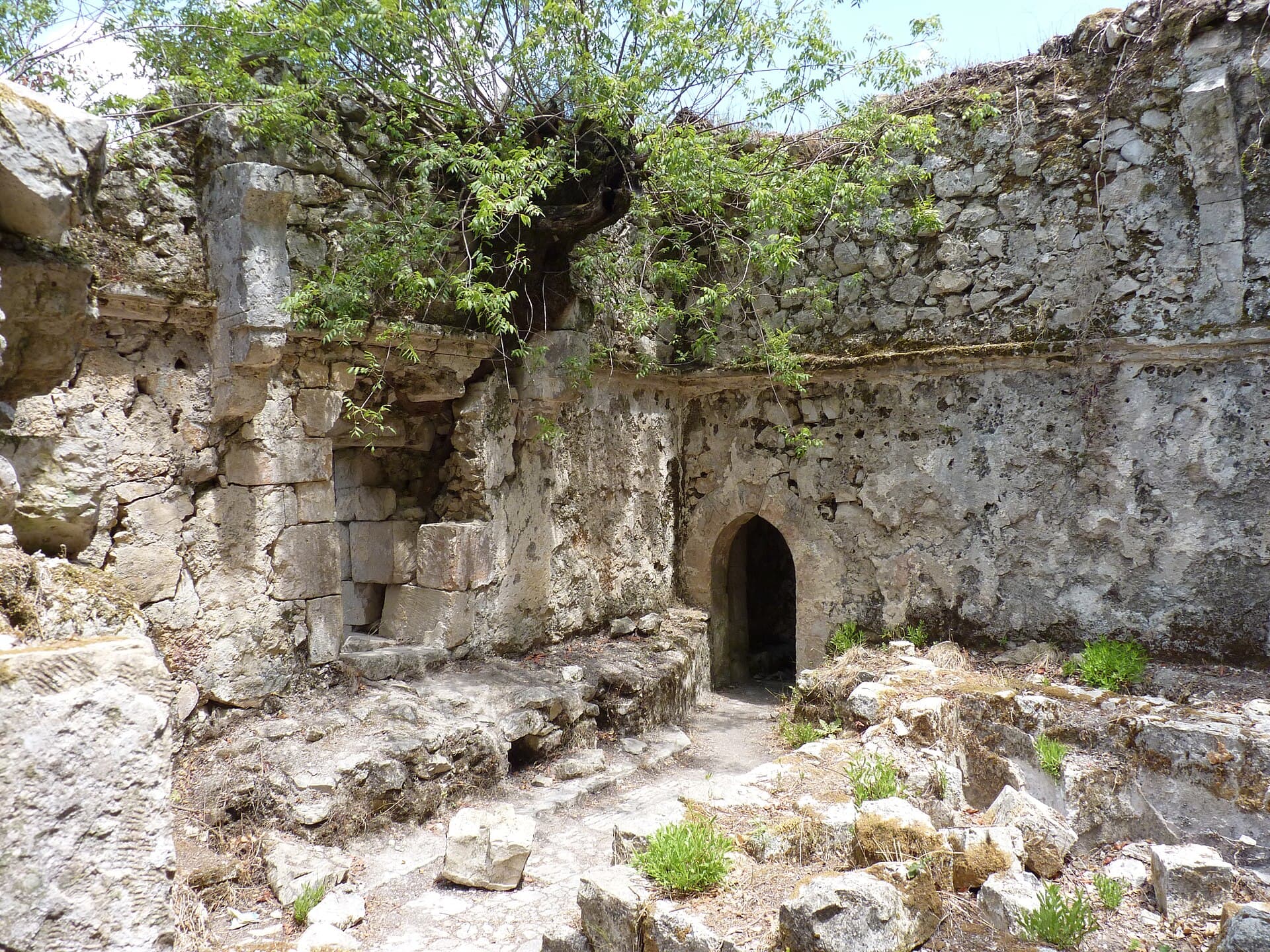
Be at the foot of Al-Kahf at 08:30. The path and the castle want an hour and a half. Start early. See the 170-metre outer court at the west end, the seven cisterns higher up and the passages cut into the rock. The castle was built around 1120 and sold to the Ismailis in 1138; Sinan died here in 1193. When Baybars took it in 1273, it was the last Ismaili castle to surrender to the Mamluks. At 10:40 you are at Qadmus, and an hour is enough. On the upper platform are two wells cut into the rock, an old building on hexagonal piers and a vaulted hall with balconies facing east. The castle was sold to the Ismailis in 1132 and badly damaged in the February 2023 earthquake. Have lunch in Qadmus town. At 13:00 you reach Aleika. An hour takes you round the outer wall and the high inner core; gravestones with Latin inscriptions were found inside the castle. By 14:45 you are in Wadi al-Qalaa. With the path, Maniqa takes an hour and a half. The basalt walls stand on the northeast and northwest, and a rock-cut ditch guards the northeast front. Two of its three underground rooms still have rings for tethering horses in their walls. The castle changed hands in 1031 after a 13-day siege. Be back in the village by 16:30. That gets you to the coast before sunset.
Take care
All four castles involve walking on stony ground; shoes with grip are essential. The path at Al-Kahf is narrow. After rain it turns slippery. At Qadmus the earthquake left cracked walls, some sections may be closed, and the edges have no railings. Inside Maniqa the ground is rubble and farmland, so test your footing before entering the underground rooms. Al-Kahf and Aleika are free; fees at Qadmus and Maniqa vary, so check on site. Nothing to eat or drink is sold at Al-Kahf, Aleika or Maniqa. Most of the remains lie under scrub. By late summer the grass is high. In winter, fog closes these mountain roads; spring and autumn are the right seasons. The countryside of the coastal mountains was hit by the events of March 2025; confirm the current situation with local sources before setting out.
The route on a map
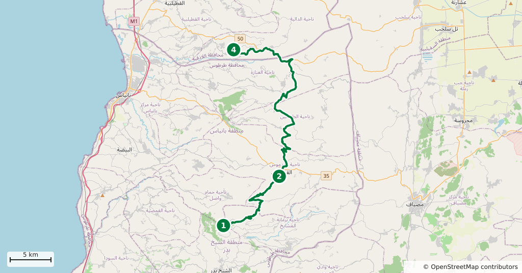
Stops along the route
- 01
- 02
- 03
- 04
Transparency
- How this was chosen
- The stops and their order were set by hand. The line on the map is real road geometry, not a straight hop between pins; distance and duration belong to that itinerary.
- Facts checked
- September 2026
- Last updated
- September 15, 2026