From As-Suwayda to Qanawat and Shahba
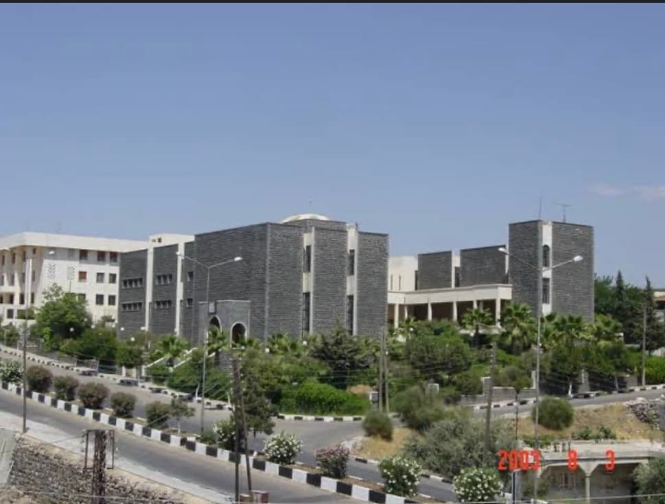
Start at the museum, drive to a Decapolis city, end at an emperor’s unfinished town. One day by car, forty-one kilometres, three stops — when the region opens.
- Duration
- 7 hours
- Distance
- 41 km
- Difficulty
- Easy
- Best season
- April–June, September–October
- stops
- 3
- City
- As-Suwayda
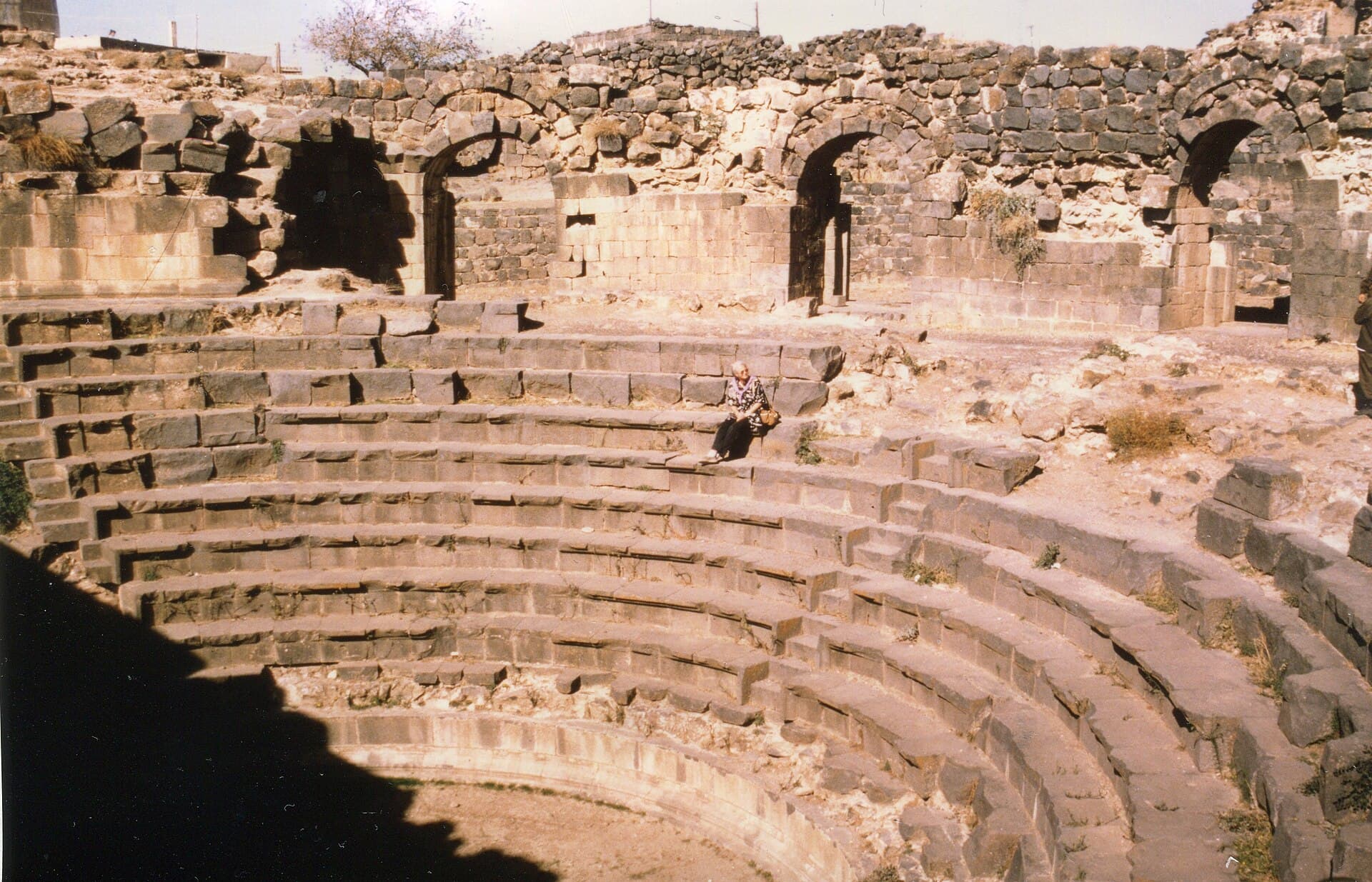
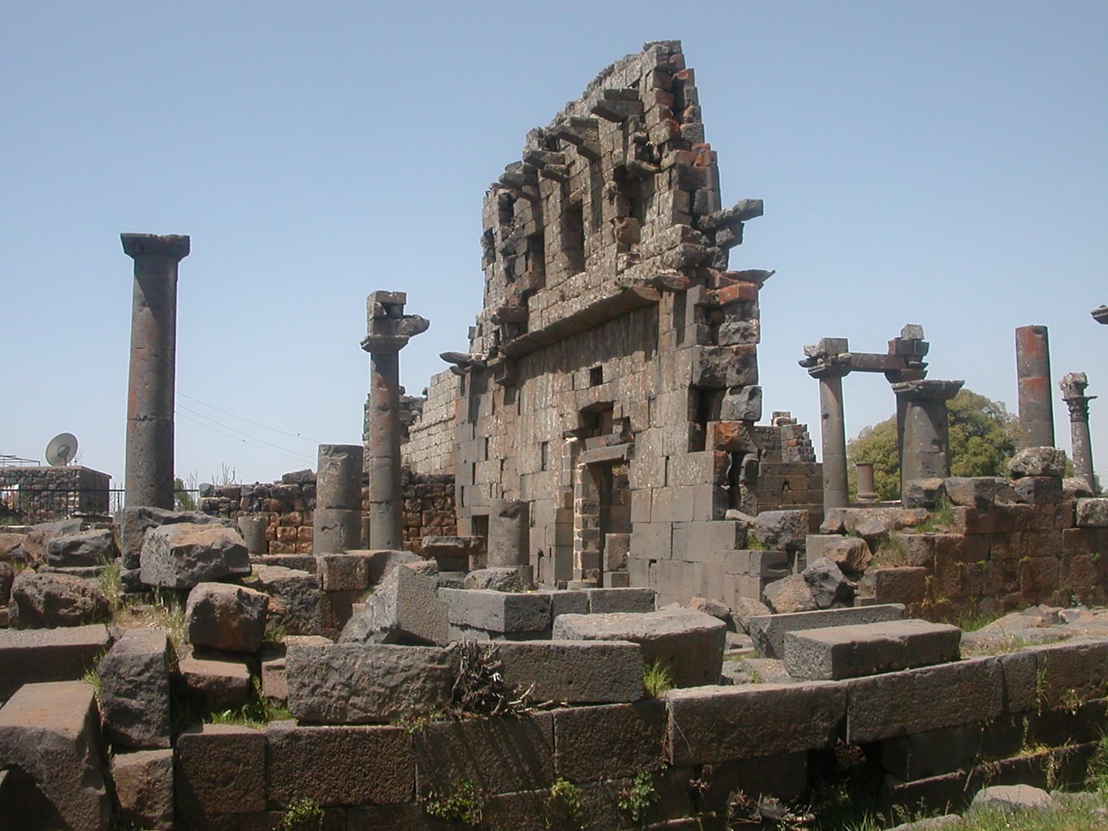
This is how you see three separate ages of Jabal al-Druze in a day: the basalt sculpture of the region in the museum, Canatha of the Decapolis at Qanawat, and the last city Rome founded in the East at Shahba. The driving between the three stops comes to forty-one kilometres and never leaves the plateau. One thing has to be said first: Suwayda governorate has been inside an armed conflict since July 2025, and this route cannot be driven today. The plan below is for when the region opens again.
The route
Start at the museum north of As-Suwayda. From there the Qanawat road runs straight to the north-east: five and a half kilometres, ten minutes. At Qanawat you leave the car at the edge of the ruins and walk. Then north to Shahba: fifteen kilometres, twenty minutes. In Shahba too you park on the square and go on foot. The way back from Shahba to As-Suwayda is twenty kilometres.
Timing
Be at the museum when it opens and give it an hour — the vocabulary of everything you will see that day is in there. Aim to be at Qanawat by 10:00; the Seraya, the theatre and the temple to the north-west take an hour and a half between them. Break for lunch at Qanawat and move on to Shahba at 13:00. Shahba wants two hours, three if the mosaic museum is open. Spend what is left around the kalybe on the square and be back in As-Suwayda before dark: driving the plateau at night is something to avoid.
Take care
To repeat: this route does not work today. The governorate is a conflict zone, checkpoints and front lines sit on the roads in from Damascus, and ceasefire violations ran through 2026. Even when the region opens, three things will not change. The plateau is above a thousand metres, with snow and ice in winter and no shade in summer. The ruins are not fenced sites but stand among people’s houses, so ask before stepping into a courtyard and ask again before photographing anyone. Fuel and road conditions shift week to week — check the route locally before you set out.
The route on a map
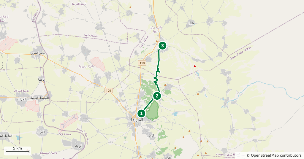
Stops along the route
- 01
- 02
- 03
Transparency
- How this was chosen
- The stops and their order were set by hand. The line on the map is real road geometry, not a straight hop between pins; distance and duration belong to that itinerary.
- Facts checked
- September 2026
- Last updated
- September 15, 2026