A second day from Tartus: Khawabi, Qadmus and Baniyas
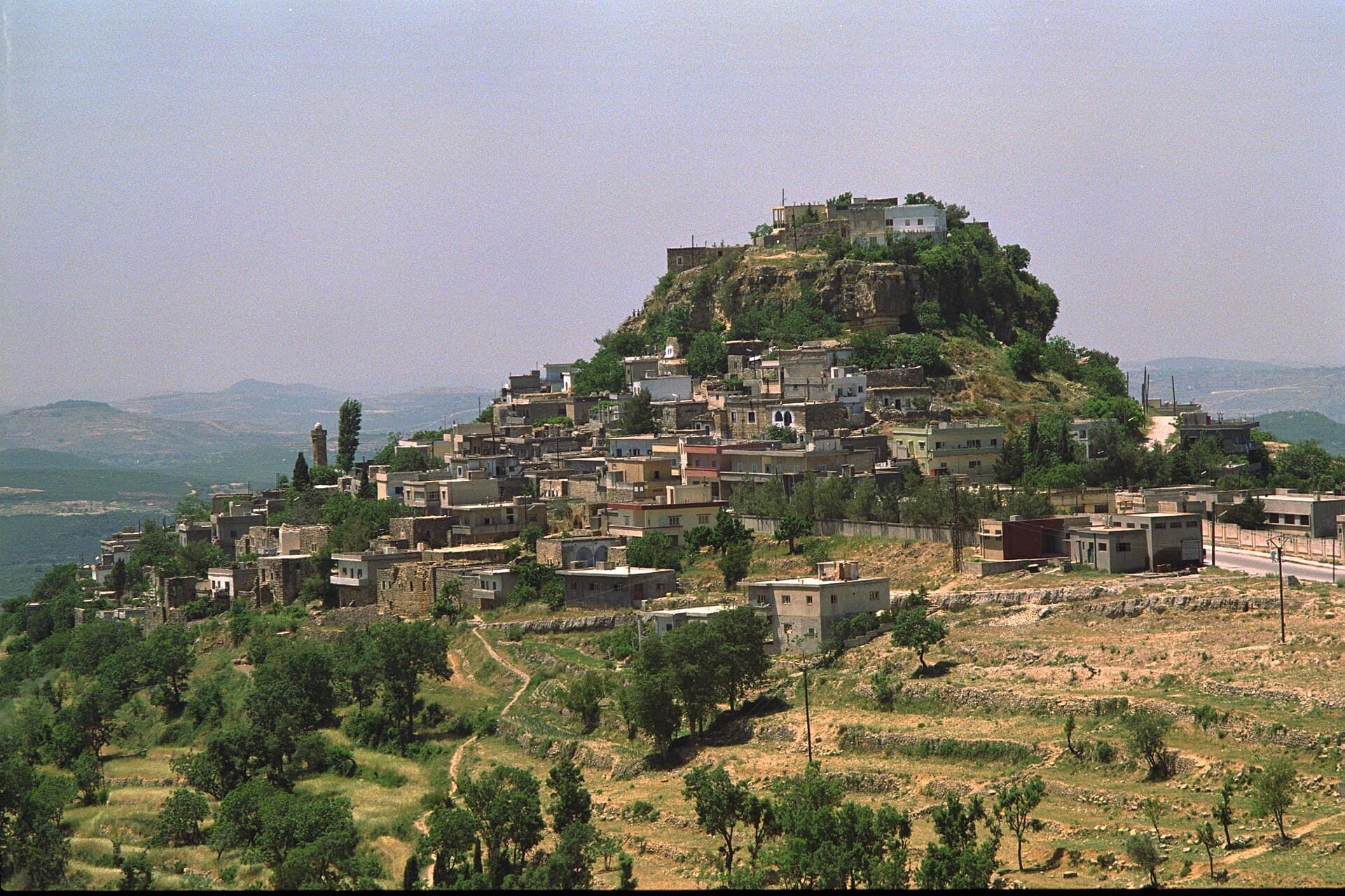
If the first day was the coast, the second climbs: Khawabi among olives, Qadmus on its rock, then the port town of Baniyas. 133 kilometres, hour by hour.
- Duration
- 9 hours
- Distance
- 133 km
- Difficulty
- Moderate
- Best season
- April–June, September–November
- stops
- 3
- City
- Tartus
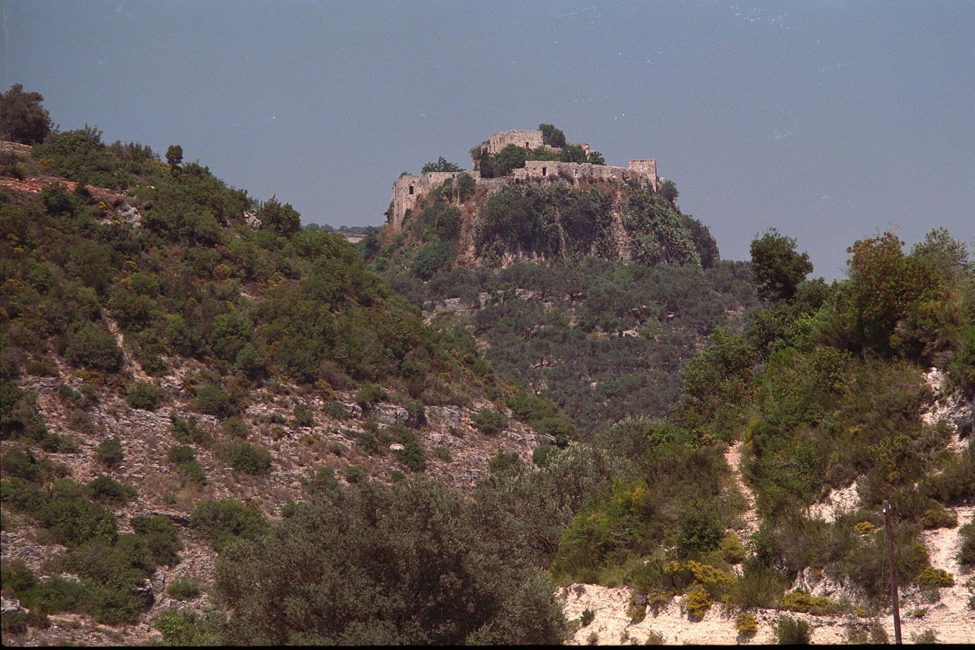
If your first day out of Tartus stayed on the coast, the second one climbs. This day is two Ismaili castles and a port town: Khawabi among the olive groves, Qadmus on the isolated rock above its town, and Baniyas on the shore on the way back. It comes to 133 kilometres, half of it narrow mountain road. Masyaf and Kahf are not on this day; they belong to a separate one from the east.
The route
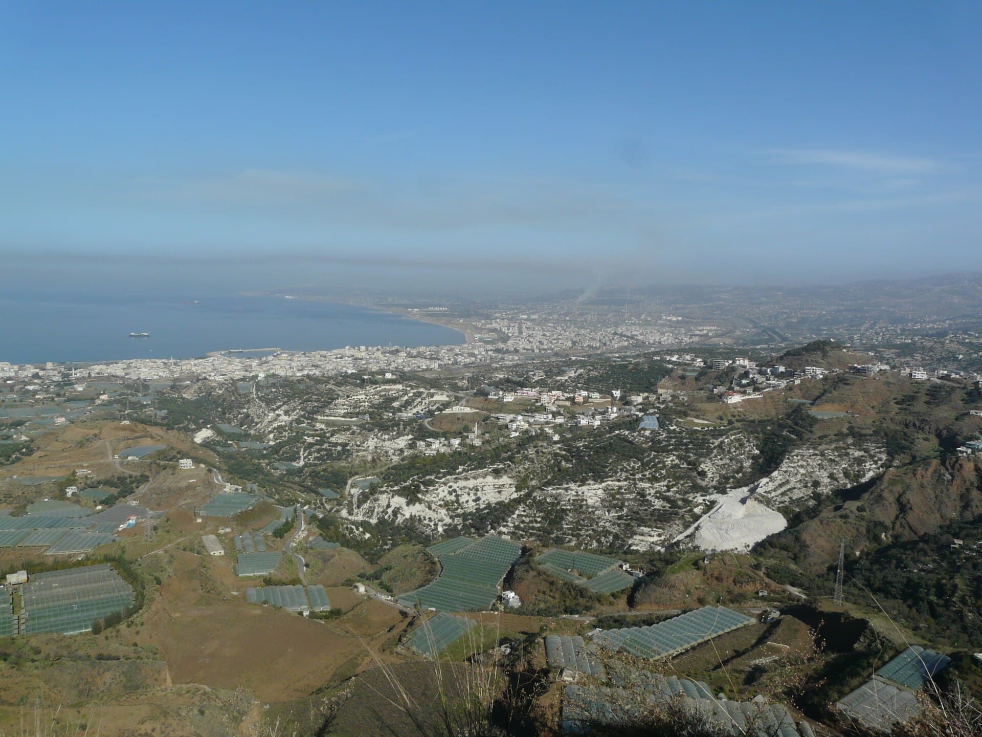
Head north-east out of Tartus, cross the olive groves and climb to Khawabi; the last stretch is narrow and winding, and the car stays below the village. Carry on north from Khawabi and cross the ridge to Qadmus. This leg looks short on the map, but the road is slow and takes an hour and a half. From Qadmus drop west towards the sea: Baniyas after 26 kilometres. The return along the coast road into Tartus is 38 kilometres.
Timing
Leave at eight. Be below Khawabi by half past nine; go in through the gate in the wall and walk the village lanes, an hour is enough. Move on at eleven. You are at Qadmus just after midday; the climb onto the rock is steep, an hour on the castle is plenty, and lunch is in the town. Drop west at three. Be in Baniyas by four and see the harbour in daylight, then take the coast road back.
Watch out
People live inside the walls at Khawabi; this is an address, not a museum. Do not walk into courtyards, ask before photographing anyone, and keep your voice down. At Qadmus do not climb onto the ruined walls, since the far side of the edge is a drop. The mountain road gets fog and ice in winter. In Baniyas the refinery and port area are closed ground, so keep your camera off them. Fill up in Tartus; stations are rare in the hills.
The route on a map
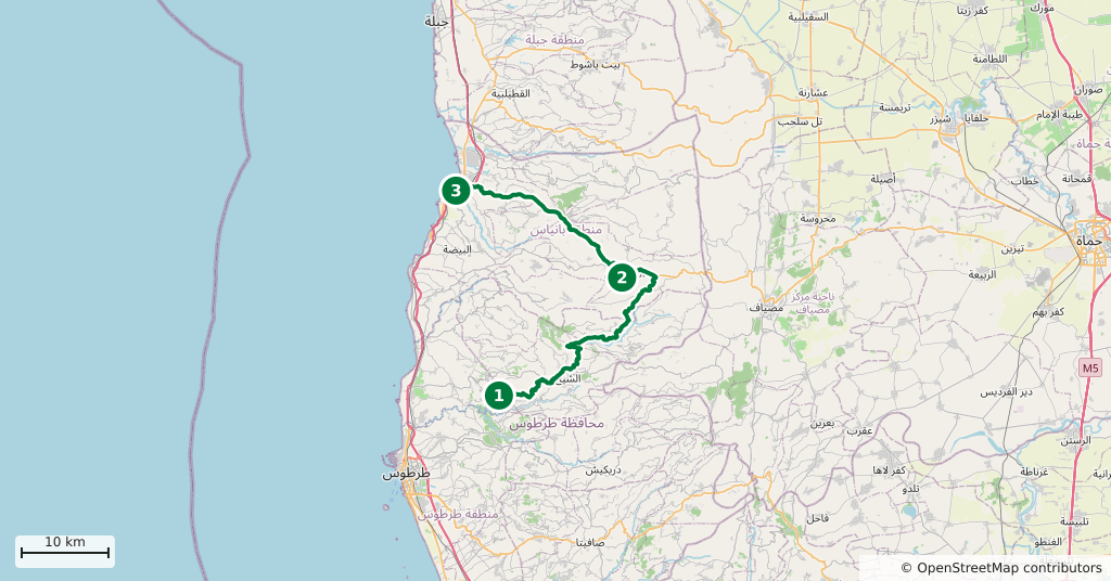
Stops along the route
- 01
- 02
- 03
Transparency
- How this was chosen
- The stops and their order were set by hand. The line on the map is real road geometry, not a straight hop between pins; distance and duration belong to that itinerary.
- Facts checked
- September 2026
- Last updated
- September 15, 2026