Tartus mountains day trip: Duraykish, Mashta al-Helu and Hosn Suleiman
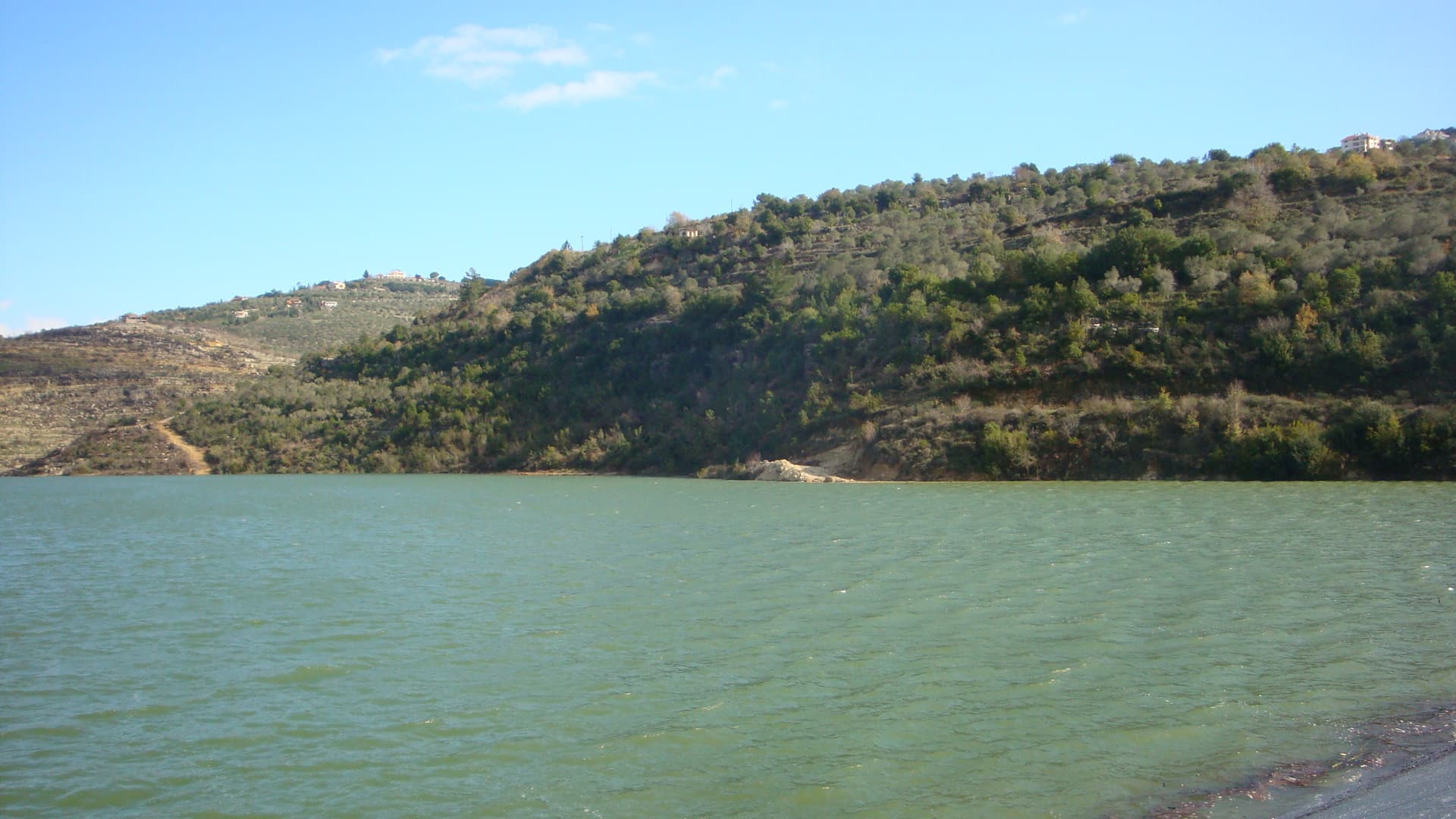
A day in the hills east of Tartus: the springs of Duraykish, Our Lady’s Hill and the Cave of Lights at Mashta al-Helu, Hosn Suleiman temple and Sheikh Deeb Castle.
- Duration
- 9 hours
- Distance
- 56.1 km
- Difficulty
- Moderate
- Best season
- May–June, September–October
- stops
- 5
- City
- Tartus
Head east from Tartus and within an hour the humid heat of the coast is behind you. This route links five stops inside the coastal mountains in one day. It starts in Duraykish, a hill town known for its mineral water. In Mashta al-Helu it climbs Jabal al-Sayyida, a hill with a small church on top, and enters Al-Dawayat Cave, lit through seven holes in its roof. Then comes Hosn Suleiman, a Roman sanctuary at 950 metres. The day ends at Sheikh Deeb Castle, built into a cone of volcanic rock. Five stops, 56 kilometres of mountain road, one day by car.
The route
From Tartus the road east reaches Duraykish in forty-five minutes. It enters the town through the lower quarter of Maqla; the old town is about 100 metres higher, up a steep lane. As the crow flies, Mashta al-Helu is 9 kilometres from Duraykish, but the mountain road covers 31 kilometres and takes close to an hour. Jabal al-Sayyida is the volcanic hill above the town, and a tree-lined road climbs to the top. From the hill to Al-Dawayat Cave is 5 kilometres: the cave lies about 2 kilometres northeast of the town, at 750 metres. From the cave head north to Hosn Suleiman, 13 kilometres and half an hour. The road climbs and its last stretch is narrow. From the temple to Sheikh Deeb is 7 kilometres, fifteen minutes. The castle stands above the village of Qulay’a, in the middle of an 18-kilometre valley.
Timing
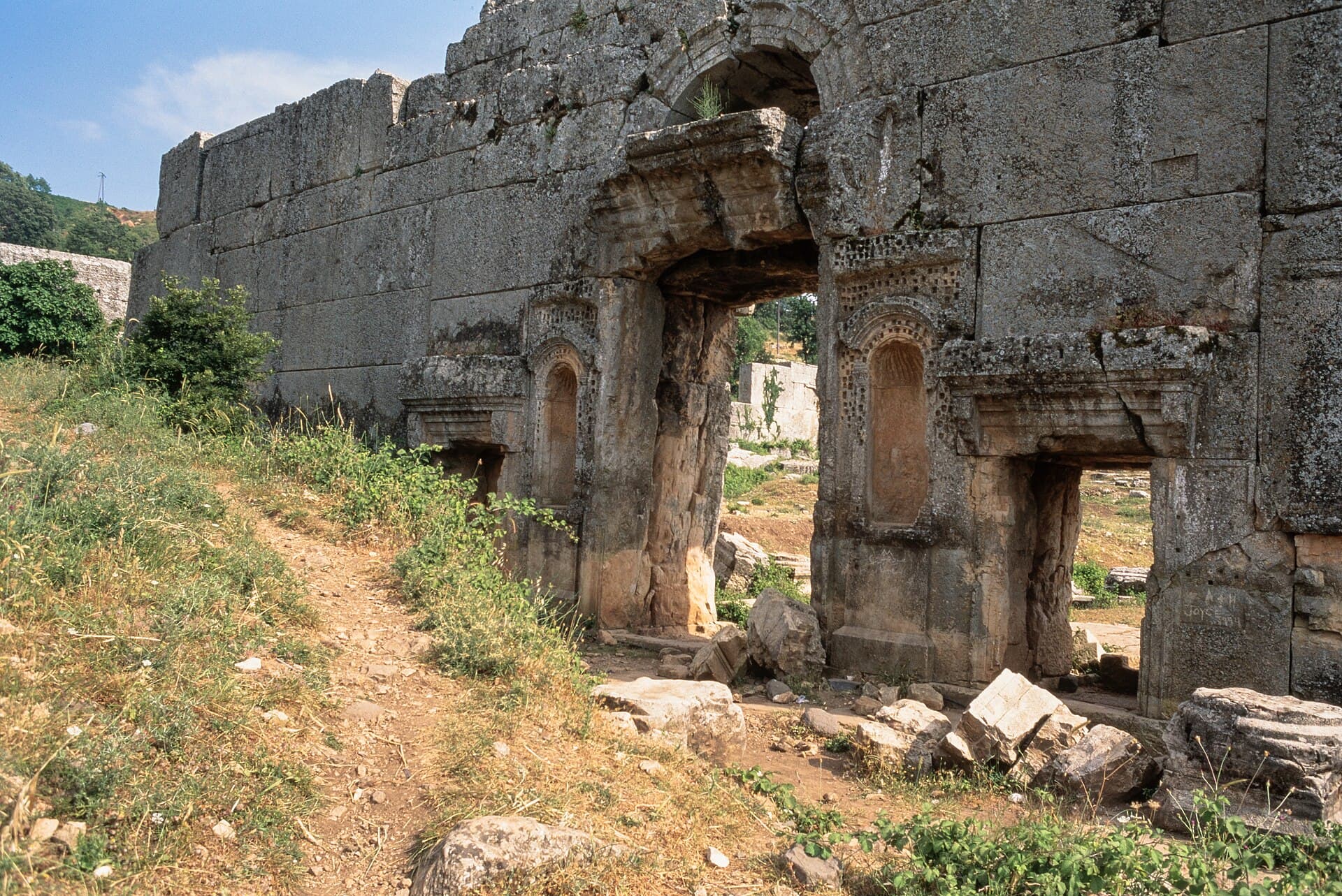
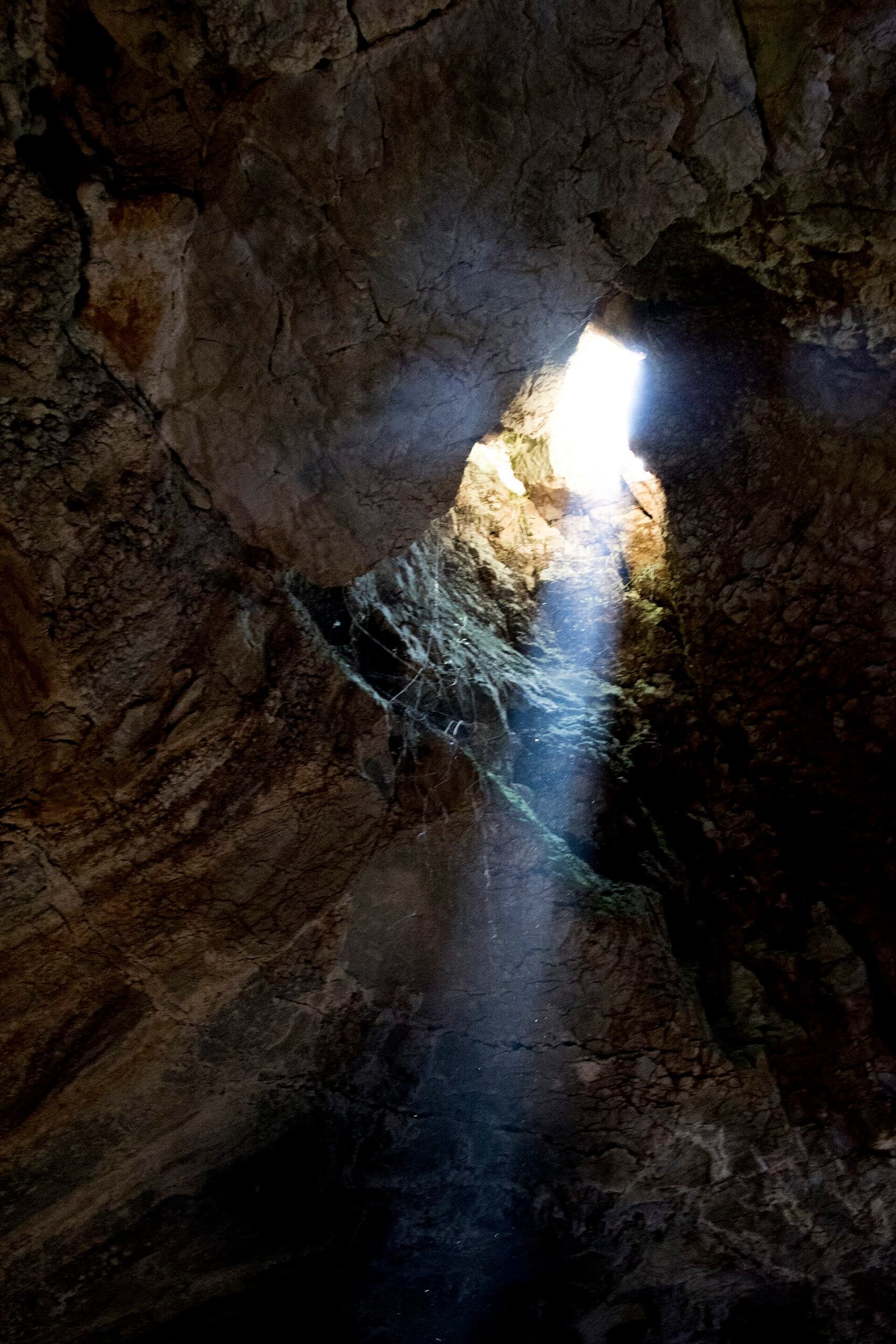
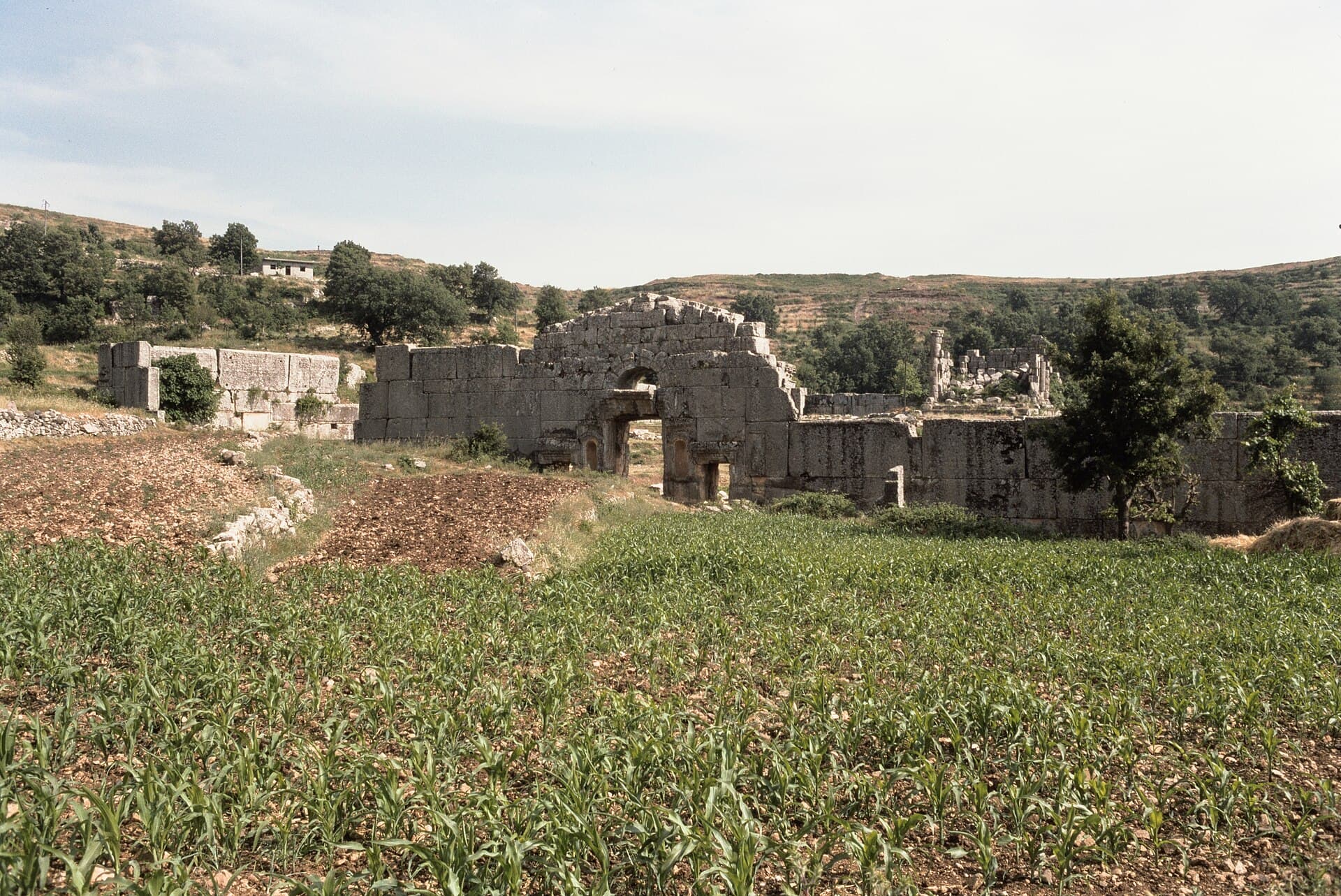
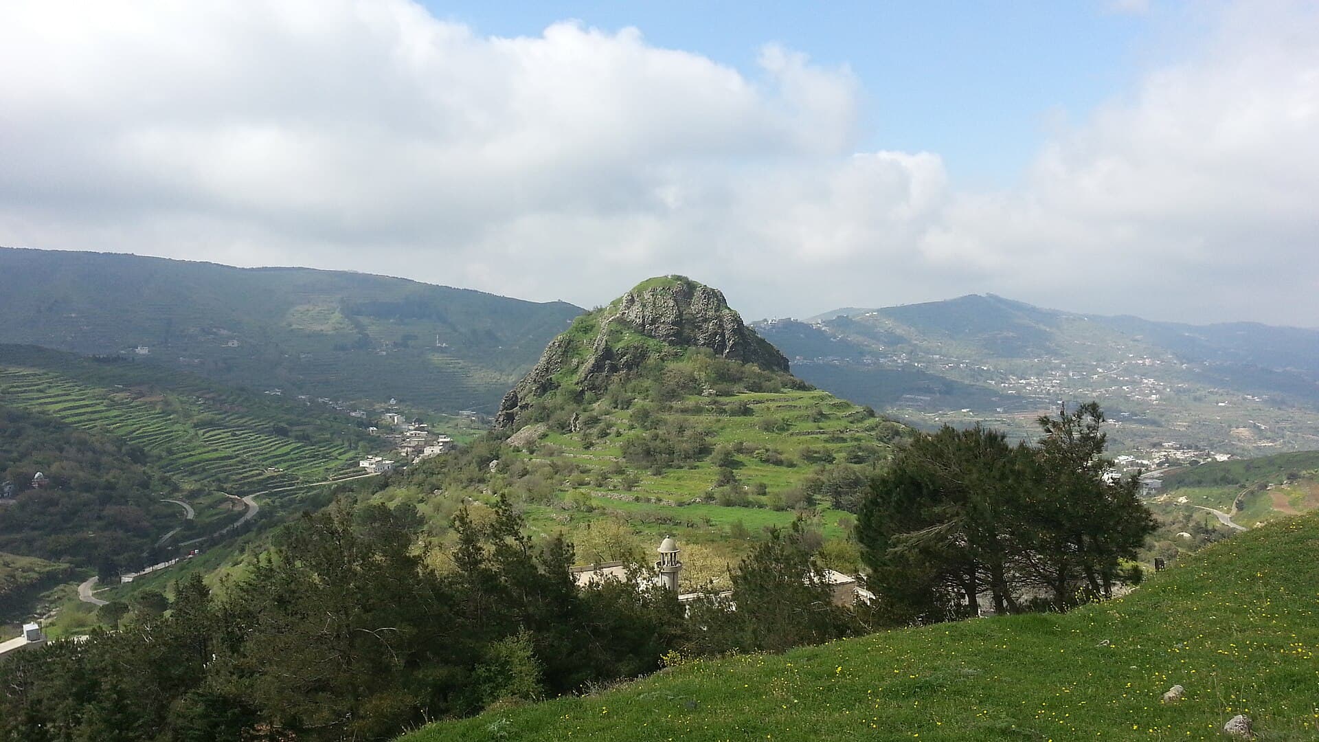
Be in Duraykish at 08:30. The town sits 340 to 480 metres above the sea, where two valleys open out. Walk down to the springs on the south side and drink from the source; the bottled water that made the town known across Syria comes from here. An hour covers the market and the narrow lanes. At 10:30 you are in Mashta al-Helu. Climbing Jabal al-Sayyida and taking in the view takes an hour; a statue of the Virgin Mary stands on the slope, and church opening times vary. At 11:45, Al-Dawayat Cave: the main hall covers 2400 square metres, its roof is 17 metres high, and daylight falls in shafts through seven holes. Going in near midday is best for the light; allow an hour. Bring lunch, or buy bread at a bakery in Mashta al-Helu. At 14:00 you are at Hosn Suleiman. Its ancient name was Baitokaike, a sanctuary of Zeus: a courtyard wall with four gates and the temple in the middle. Step under the lintel of the west gate and look up to find the eagle relief. Greek and Latin inscriptions on the wall blocks list the privileges the Seleucid king Antiochus granted the temple. An hour is enough. At 15:15 you reach the foot of Sheikh Deeb. Climbing the rock to see the rock-cut well and the stretches of wall that close the gaps between outcrops takes an hour and a half. The Ismailis took the castle around 1140-1141; it stood on the same line of sight as Masyaf and served as a signalling post. At 17:00, start back.
Take care
There is no current information on lighting, hours or fees at Al-Dawayat Cave. Ask in Mashta al-Helu and bring a torch. The cave floor can be damp, so wear shoes that grip. The last stretch of road to Hosn Suleiman is narrow and can be foggy; at 950 metres it is windy even in summer, so bring an extra layer. The fee at Hosn Suleiman varies, so check at the entrance. No fee is known at Jabal al-Sayyida or Sheikh Deeb. Do not go to Sheikh Deeb in winter: the castle sits in a valley where floods run, and the road becomes very hard. The climb up the rock is stony. Jabal al-Sayyida is a living place of worship, so cover shoulders and knees. On the night of 14 August a large crowd gathers on the hill; shift the route that day or reach the town early.
The route on a map
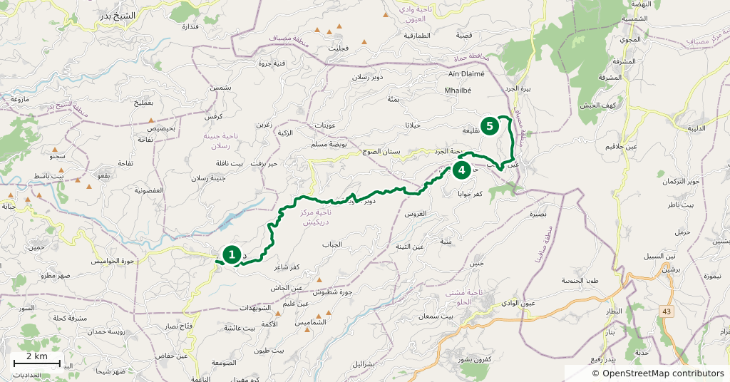
Stops along the route
- 01
- 02
- 03
- 04
- 05
Transparency
- How this was chosen
- The stops and their order were set by hand. The line on the map is real road geometry, not a straight hop between pins; distance and duration belong to that itinerary.
- Facts checked
- September 2026
- Last updated
- September 15, 2026