South of Tartus in a day: Amrit, Chastel Rouge, Tell Kazel and Areimeh
A day’s drive south of Tartus: Phoenician Amrit, the Crusader Chastel Rouge, Tell Kazel (ancient Sumur), a monastery rebuilt in 1806 and Areimeh Castle.
- Duration
- 8 hours
- Distance
- 43.6 km
- Difficulty
- Moderate
- Best season
- March–May, October–November
- stops
- 5
- City
- Tartus
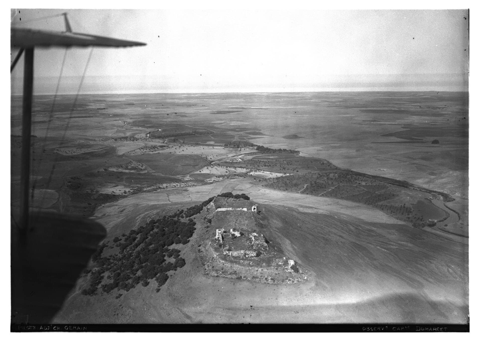
The coastal strip running south from Tartus to the Akkar plain packs three thousand years into a few kilometres. This route crosses it in five stops. It starts at Amrit, a Phoenician town, and moves on to Qalaat Yahmur, the castle the Crusaders called Chastel Rouge. From there it drops to the mound of Tell Kazel, accepted as the Sumur named in the Amarna letters. Next comes Mar Elias al-Rih, a monastery rebuilt in 1806. The day ends at Areimeh Castle, 180 metres above the Akkar plain. Five stops, 44 kilometres, one day by car. Yahmur and Areimeh were links in the same chain: the castles could see each other and signalled with smoke by day and fire by night.
The route
Leave Tartus south on the coast road. Amrit is 7 kilometres away, fifteen minutes once you turn inland. From Amrit drive east to the village of Yahmur, 14 kilometres and twenty minutes. The castle sits inside the village and cannot be seen from the main road, so ask locally. From Yahmur head south into the Akkar plain: Tell Kazel is 14 kilometres, again twenty minutes. The mound is on the right bank of the Nahr al-Abrash, a flat-topped rise standing alone on the plain and easy to pick out. From the mound drive 11 kilometres northeast towards Safsafa. Turn at the sign for Areimeh Castle; the monastery turning is 1 kilometre further on. From the monastery return to that turning, and the castle is 2 kilometres further up, on a narrow, steep road.
Timing
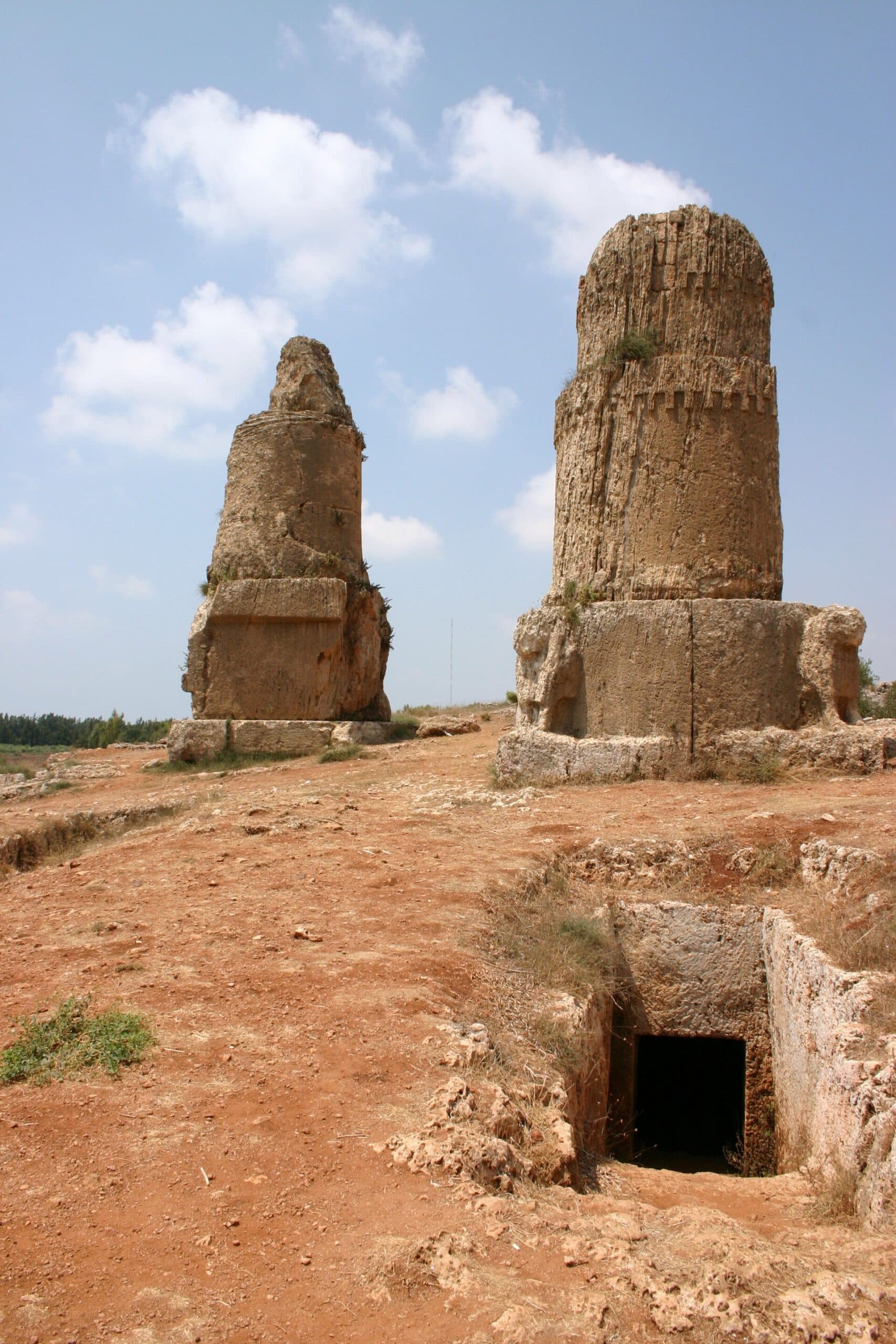
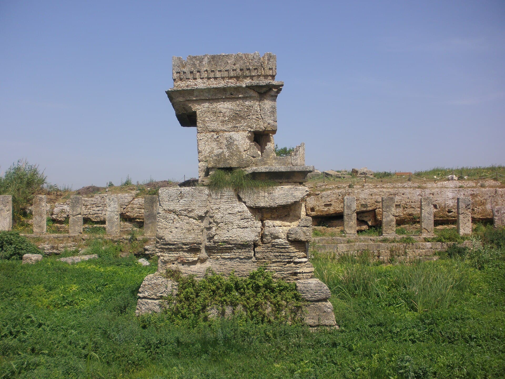
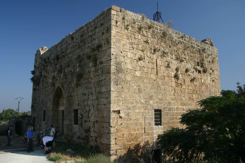
Be at Amrit at 08:30. The site stretches over more than a kilometre and has no shade; allow an hour and a half. At the Ma’abed temple in the north, go down to the edge of the pool: the base of the shrine was left as a single block of rock, so the pool was cut around it. To the south are the cylindrical tower tombs and the rock-cut stadium. At 10:20 you are at Yahmur, and forty-five minutes is enough. The two-storey keep measures 16 metres by 14, and the outer wall around it 42 metres by 37. One staircase runs inside, and a second climbs outside against the wall. Saladin attacked in 1188; the Crusaders finally left the castle to Qalawun in 1289. At 11:30 you reach Tell Kazel. Its base measures 350 metres by 325, and it rises about 25 metres above the plain. Walk round the foot before you climb: the steep slopes come from the city wall buried underneath. Forty-five minutes will do. Bring food and take the midday break in the shade. At 13:30 you are at the monastery. In the old church on the lower floor, icons of the Aleppo school dated between 1809 and 1817 hang on the wooden iconostasis; allow forty-five minutes. At 14:30 drive up to Areimeh and allow an hour and fifteen minutes. The castle is 300 metres long with two courtyards, and its southwest tower rises to 30 metres. Climb it and look north: the White Tower of Safita and Yahmur Castle are visible to the naked eye. The drive back to Tartus in the late light is 25 kilometres.
Take care
Tell Kazel lies on the Akkar plain less than 10 kilometres from the Lebanese border; check the status of checkpoints before you set out. The mound has no guard, signs or marked paths. Stay out of the trenches and do not pick up anything from the surface. At Yahmur the stairs to the upper floor have no railing and the steps are worn. Mar Elias al-Rih is a working monastery, so bring clothes that cover shoulders and knees. Public transport details for the monastery come from a 2013 guide; if you travel without a car, confirm the route in Tartus. The last road to Areimeh is hard for cars after rain. Part of the castle wall collapsed recently and the vaulted halls are dark, so bring a torch. Fees at Amrit, Yahmur, Tell Kazel and Areimeh vary; check at the entrance. Amrit and Tell Kazel have no shade, so water and a hat are essential. The monastery’s busiest day is the feast of Mar Elias on 20 July.
The route on a map
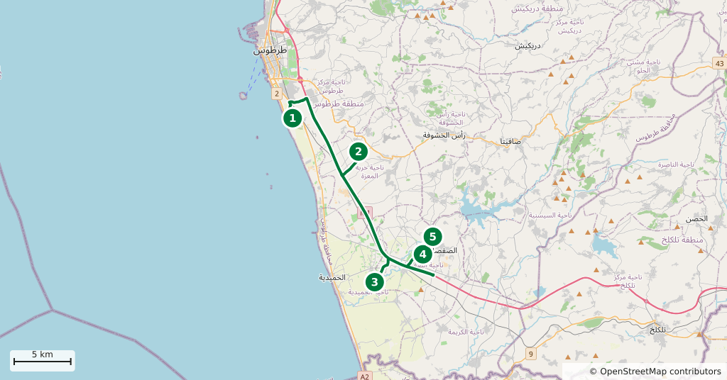
Stops along the route
- 01
- 02
- 03
- 04
- 05
Transparency
- How this was chosen
- The stops and their order were set by hand. The line on the map is real road geometry, not a straight hop between pins; distance and duration belong to that itinerary.
- Facts checked
- September 2026
- Last updated
- September 15, 2026