Featured places
Mosques, caravanserais, souks, museums — and why they are worth the walk.
11 Places
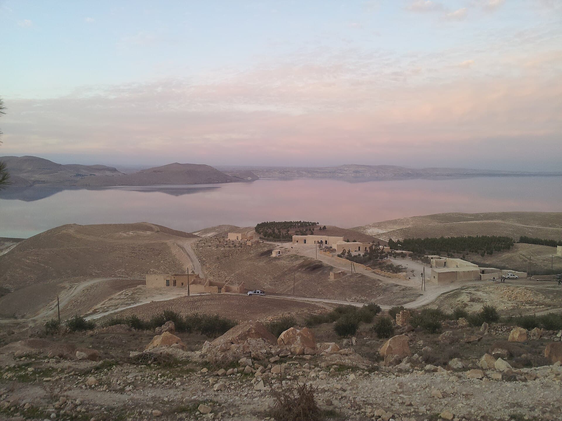
Safan Reservoir and Hayaka Nature Reserve
The reservoir on the Safan River west of Al-Malikiyah and its Hayaka reserve: 48-49 million cubic metres of water, poplar woods, the border 3 km away, and access.
Qamishli · Natural area · reservoir
Ras al-Ayn and the Khabur Springs
Ras al-Ayn, the border town at the springs that feed the Khabur: Roman Rhesaina, Byzantine Theodosiopolis. Its name, its history and why access today is unclear.
Hasakah · Assyrian — Roman — Byzantine — Islamic
The Jaghjagh River
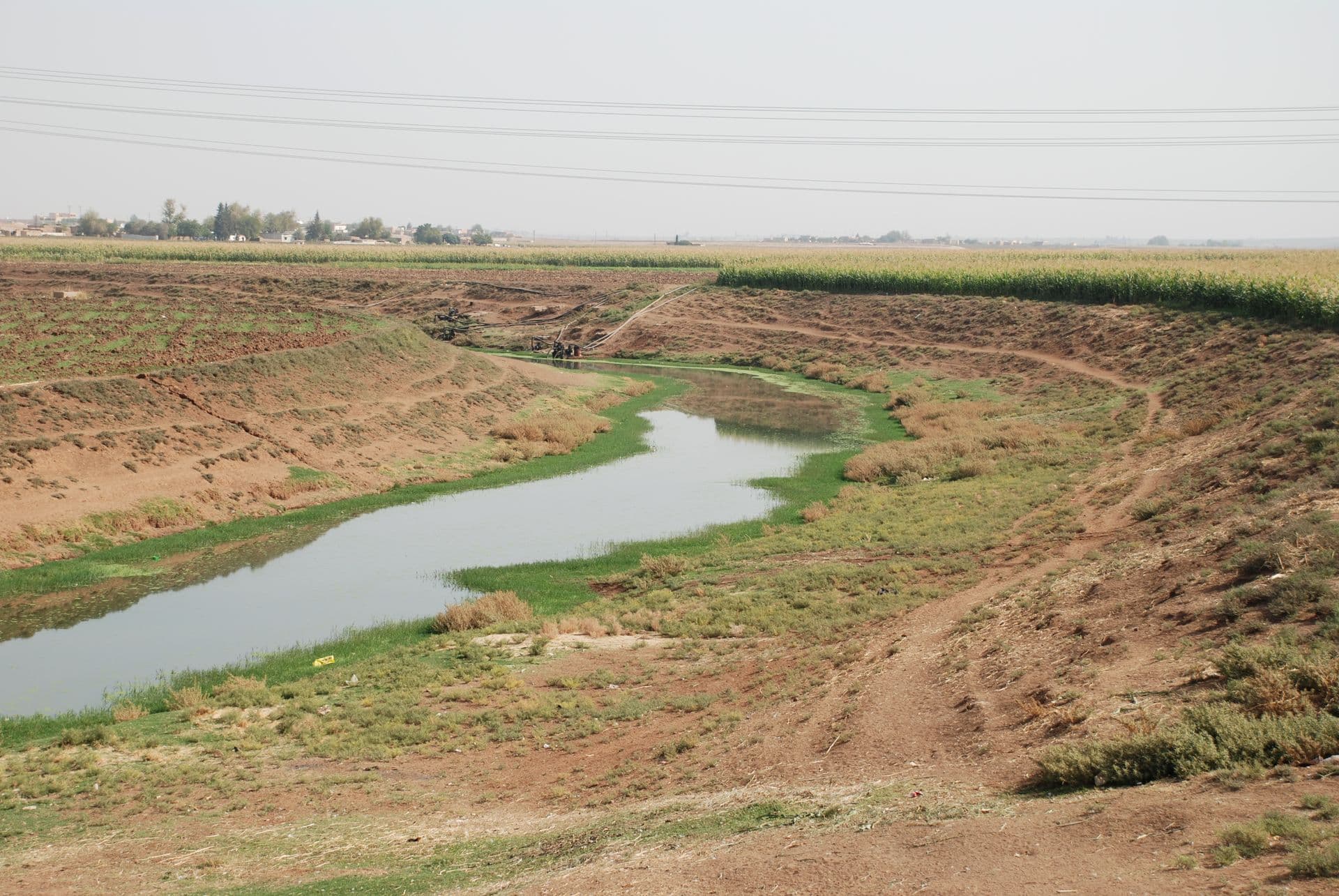
The Jaghjagh rises in Tur Abdin, runs through Qamishli and joins the Khabur in Hasakah: 124 kilometres long, once the Mygdonius, and dry in town for a decade.
Hasakah · Natural; anciently the Mygdonius, the Hirmas in Arabic sources
Ain al-Arous spring, source of the Balikh
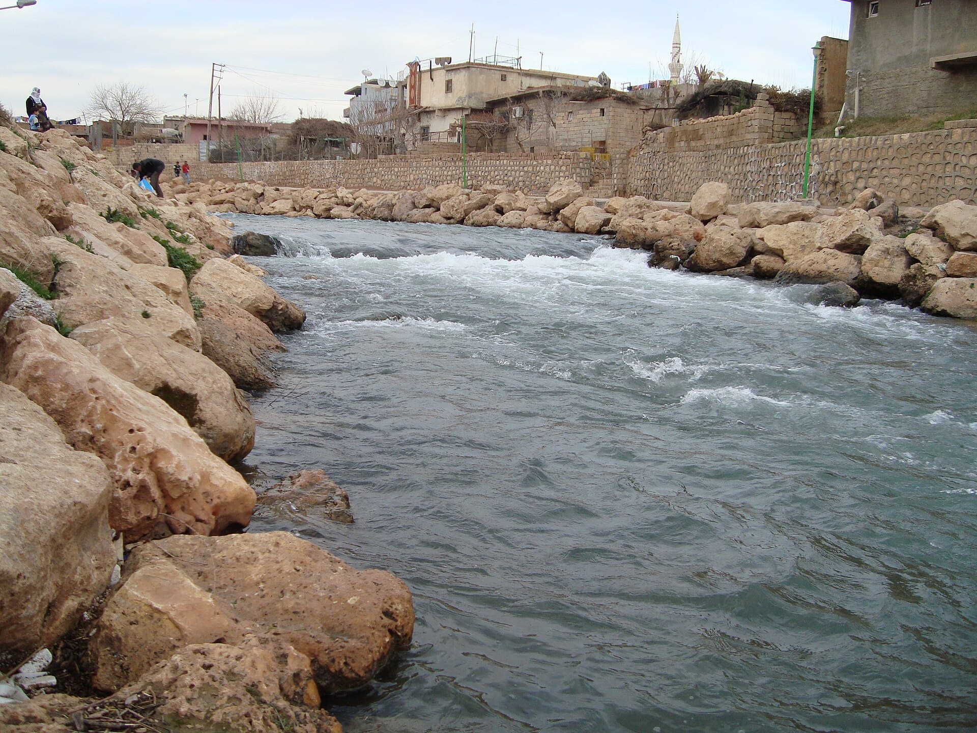
The karst spring 3 km south of Tell Abyad where the Balikh River rises: a clear pool, the shrine of Abraham and a mill from 1908. Access to the site is unconfirmed.
Raqqa · Natural spring; shrine recorded in the Middle Ages, mill from 1908
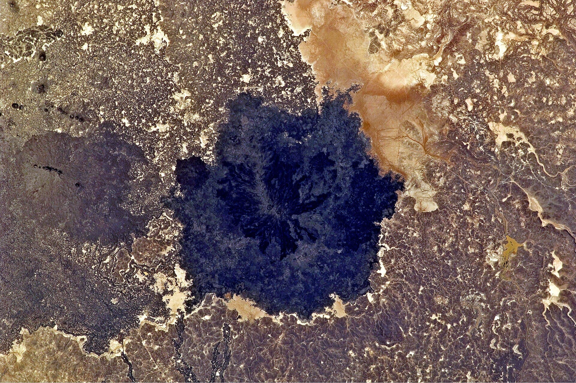
Al-Safa Volcanic Field: Syria’s Youngest Lava Field
A young 220 km² lava field east of Shahba: at least 38 cinder cones, Safaitic inscriptions cut into basalt, and the place that named the script. No road, no village.
As-Suwayda · Holocene; Safaitic inscriptions (1st millennium BC – 4th century AD)
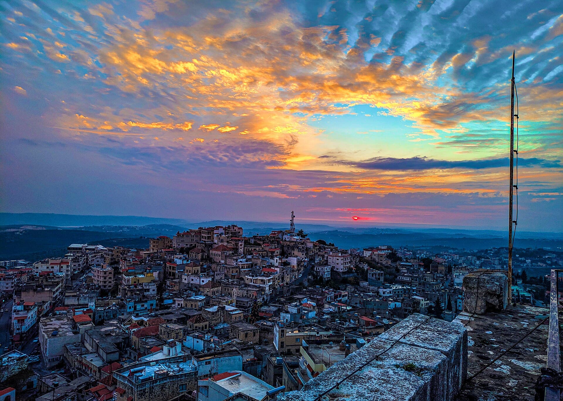
Safita, the Hill Town Around the White Tower
Spread over three hills south-east of Tartus, Safita grew out of the stones of a Crusader castle: the line of its outer wall, the Castle Quarter, an Ottoman past.
Tartus · Phoenician — Crusader — Ottoman — present
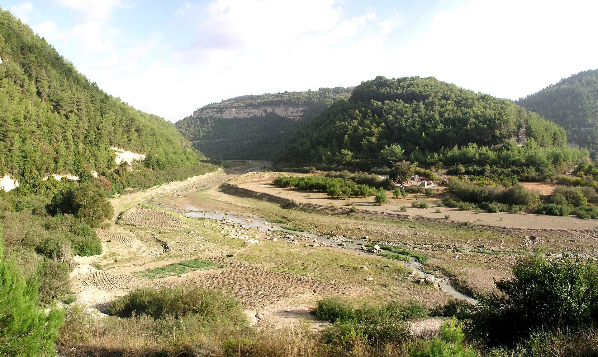
Nahr al-Kabir al-Shamali River, Latakia
One of the longest rivers on the Syrian coast, reaching the sea south of Latakia. Ugarit knew it as Rahbanu; steep in its upper valley, a plain river below.
Latakia · Rahbanu at Ugarit (Bronze Age); modern dams
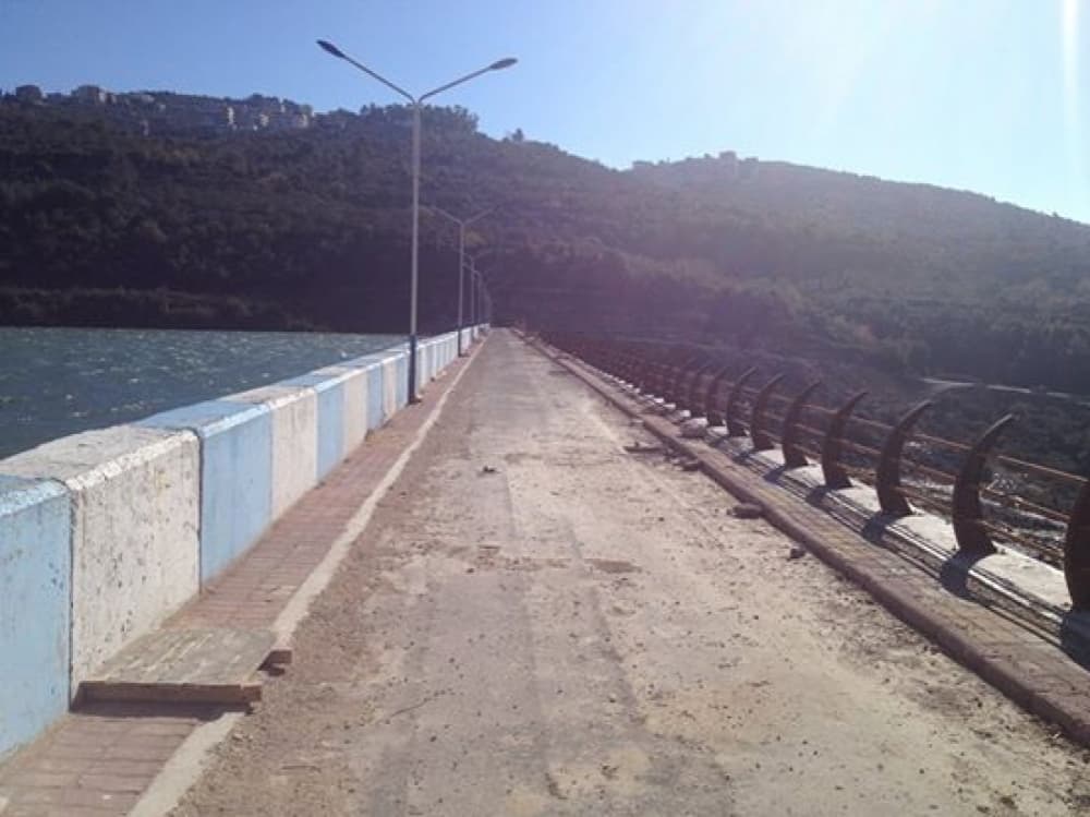
Dreikish Dam and Lake
A 41-metre rockfill dam on the Qais river north of Dreikish, with a lake a kilometre long behind it. Built for drinking water, in a valley ringed by villages.
Tartus · Modern — 1999–2015
Jabal al-Akrad, Latakia Mountains
A forested upland of about 400 km² at the northern end of Syria’s coastal mountains, north-east of Latakia. Life began returning to Salma in 2025; mines remain.
Latakia · Name linked to Ayyubid or Mamluk-era settlement
The Orontes River
The 571-kilometre river that rises in Lebanon and runs north past Lake Homs, the norias of Hama and the Ghab Plain before reaching the sea near Samandağ.
Hama · From the Bronze Age to today
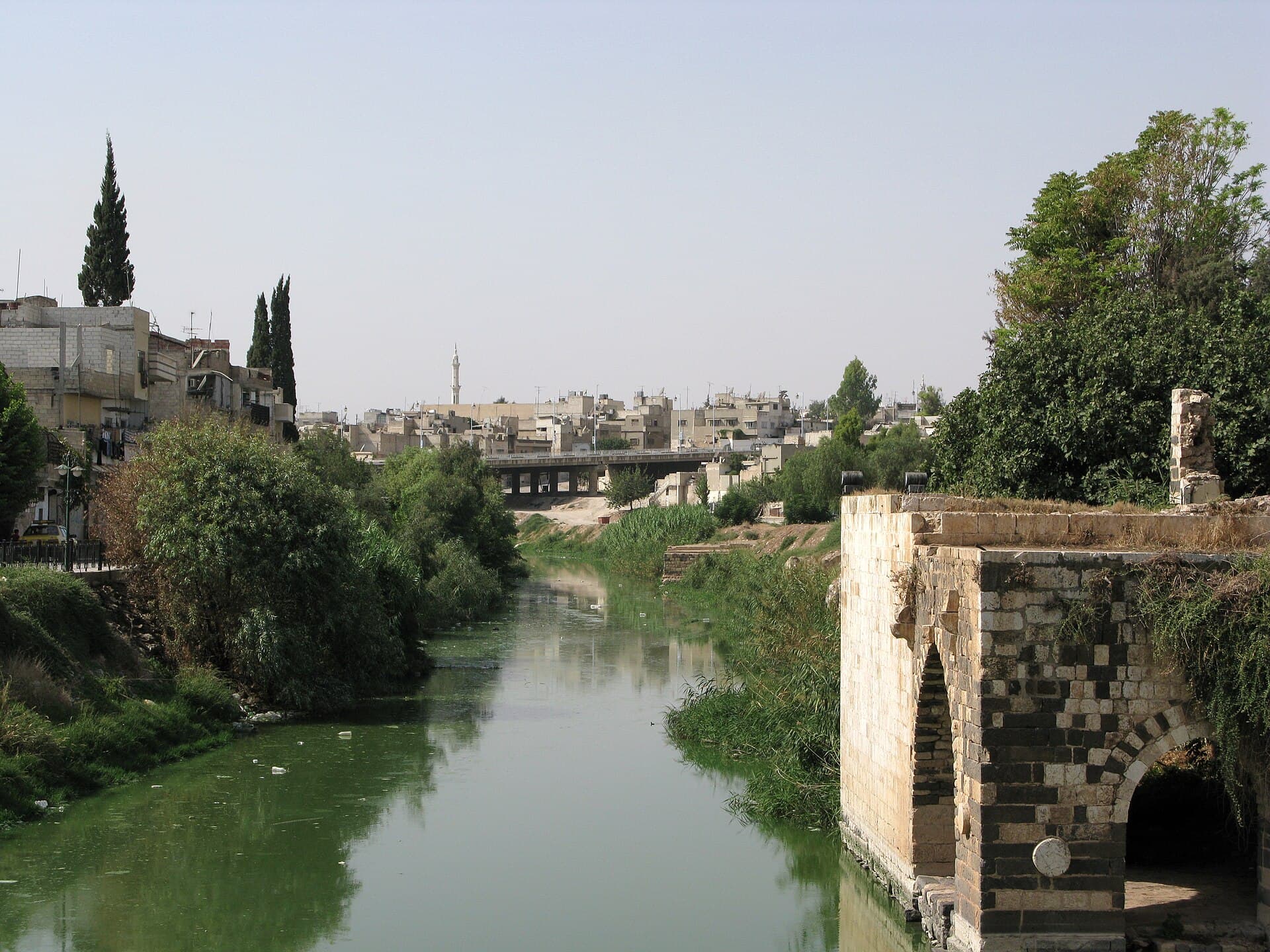
Tishrin Dam and Reservoir on the Euphrates
Tishrin, finished in 1999, is the last Syrian dam on the Euphrates: a 40-metre wall, a 60 km lake over Neolithic mounds, and what is known about access today.
Aleppo · Modern (1991–1999); mounds from the Neolithic to the Islamic period under the lake